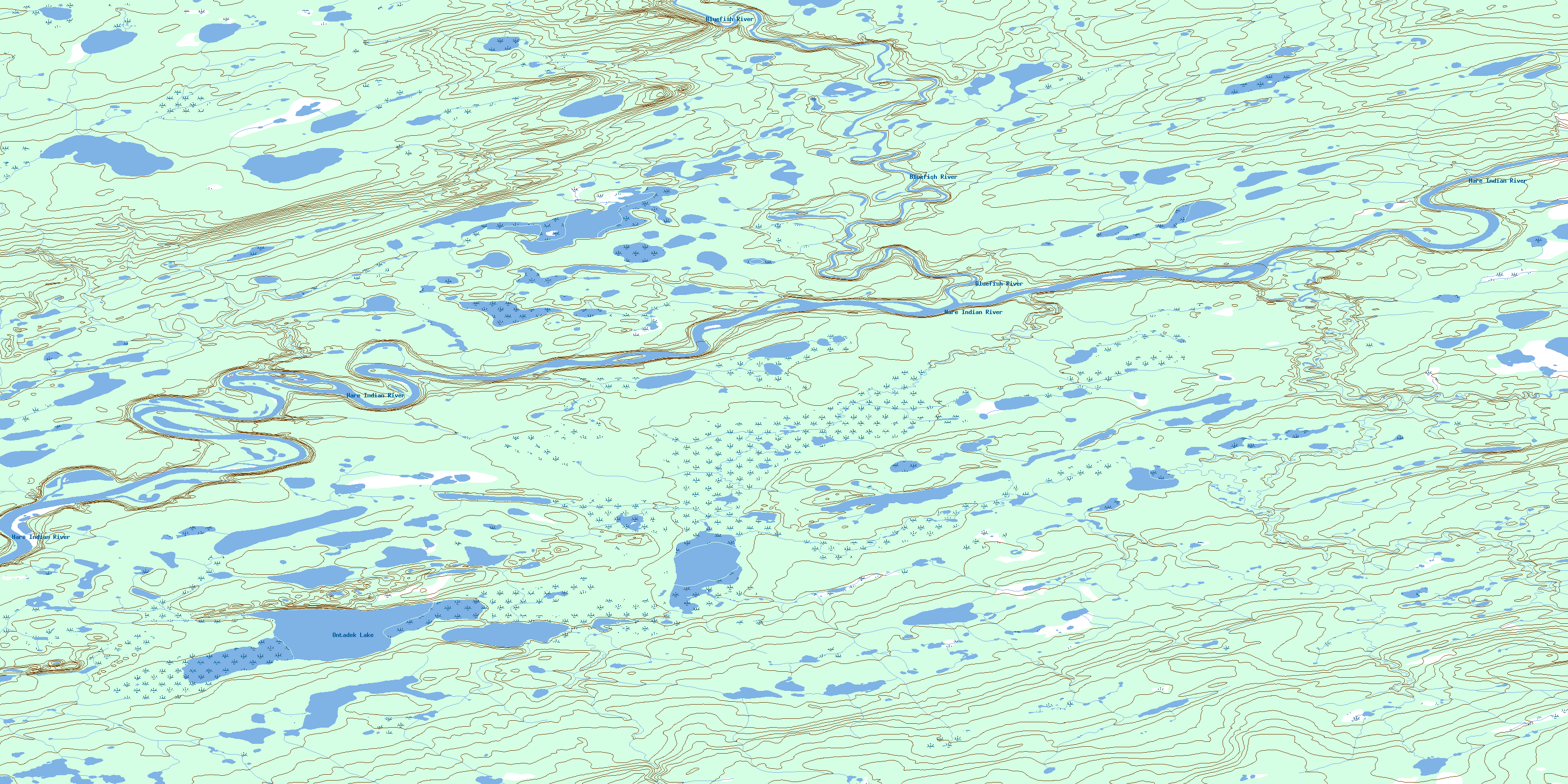
Ontadek Lake Topo Map Online
Download Free Topo Map Sheet 106I08 at 1:50,000 scale
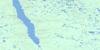
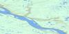
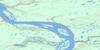
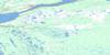
106I08 Ontadek Lake Topo Map
To view this map, mouse over the map preview on the right.
You can also download this topo map for free:
106I08 Ontadek Lake high-resolution topo map image.
Maps for the Ontadek Lake topo map sheet 106I08 at 1:50,000 scale are also available in these versions:
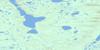
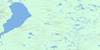
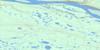
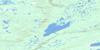
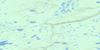
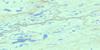
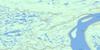
Ontadek Lake Surrounding Area Topo Maps
 |
 |
 |
 |
 |
 |
 |
 |
 |
 |
 |
 |
 |
 |
 |
 |
© Department of Natural Resources Canada. All rights reserved.
Ontadek Lake Gazetteer
The following places can be found on topographic map sheet 106I08 Ontadek Lake:
Ontadek Lake Topo Map: Lakes
Ontadek LakeOntadek Lake Topo Map: Rivers
Bluefish RiverHare Indian River
Jackfish Creek
Jackfish Creek
Ontadek Lake Topo Map: Territory
Northwest TerritoriesTerritoires du Nord-Ouest
© Department of Natural Resources Canada. All rights reserved.
106I Related Maps:
106I Fort Good Hope106I01 No Title
106I02 Tsintu River
106I03 No Title
106I04 Tukweye Lake
106I05 No Title
106I06 No Title
106I07 Fort Good Hope
106I08 Ontadek Lake
106I09 Tchaneta River
106I10 No Title
106I11 Tieda River
106I12 Gillis River
106I13 Payne Creek
106I14 Yeltea Lake
106I15 No Title
106I16 Rorey Lake
