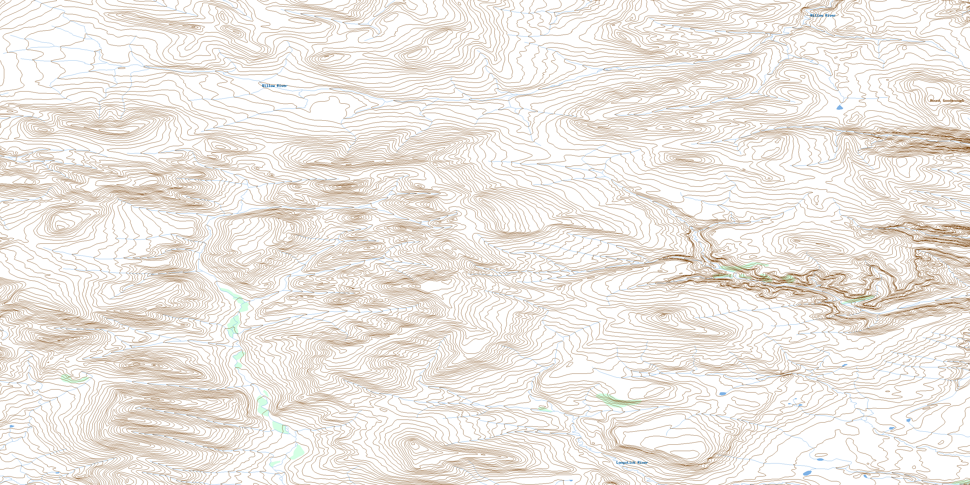
Mount Goodenough Topo Map Online
Download Free Topo Map Sheet 106M13 at 1:50,000 scale
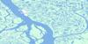
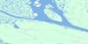
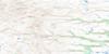
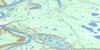
106M13 Mount Goodenough Topo Map
To view this map, mouse over the map preview on the right.
You can also download this topo map for free:
106M13 Mount Goodenough high-resolution topo map image.
Maps for the Mount Goodenough topo map sheet 106M13 at 1:50,000 scale are also available in these versions:
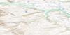
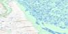
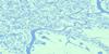
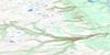
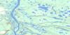
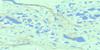
Mount Goodenough Surrounding Area Topo Maps
 |
 |
 |
 |
 |
 |
 |
 |
 |
 |
 |
 |
 |
 |
 |
 |
© Department of Natural Resources Canada. All rights reserved.
Mount Goodenough Gazetteer
The following places can be found on topographic map sheet 106M13 Mount Goodenough:
Mount Goodenough Topo Map: Mountains
Aklavik RangeMount Goodenough
Mount Lang
Richardson Mountains
Mount Goodenough Topo Map: Rivers
Bear CreekEast Bear Creek
Longstick River
Willow River
Mount Goodenough Topo Map: Territory
Northwest TerritoriesTerritoires du Nord-Ouest
© Department of Natural Resources Canada. All rights reserved.
106M Related Maps:
106M Fort Mcpherson106M01 No Title
106M02 No Title
106M03 No Title
106M04 Boomerang Lake
106M05 No Title
106M06 No Title
106M07 Fort Mcpherson
106M08 Nerejo Lake
106M09 Point Separation
106M10 Peel River Mouth
106M11 Husky Lake
106M12 No Title
106M13 Mount Goodenough
106M14 Husky Channel
106M15 Peel Channel
106M16 East Channel
