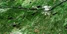
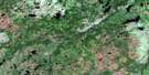
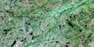
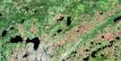
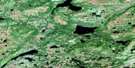
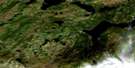
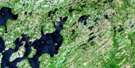
Eastern Pond Satellite Image Map
Download Free Aerial Photo 002D11 at 1:50,000 scale
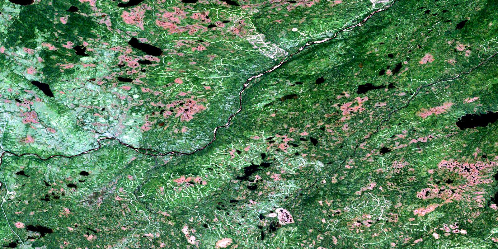
Eastern Pond Satellite Imagery
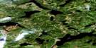
To view this satellite map, mouse over the air photo on the right.
You can also download this satellite image map for free:
002D11 Eastern Pond high-resolution satellite image map.
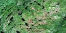
Maps for the Eastern Pond aerial map sheet 002D11 at 1:50,000 scale are also available in these versions:
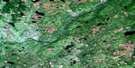
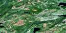
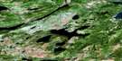
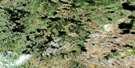
Eastern Pond Surrounding Area Aerial Photo Maps
 |
 |
 |
 |
 |
 |
 |
 |
 |
 |
 |
 |
 |
 |
 |
 |
© Department of Natural Resources Canada. All rights reserved.
Eastern Pond Gazetteer
The following places can be found on satellite image map 002D11 Eastern Pond:
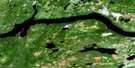
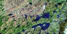
Eastern Pond Satellite Image: Lakes
Bear PondBirch Pond
Caribou Lake
Crowe Lake
Eastern Pond
Greenwood Pond
Hall Pond
Haynes Lake
Hussey Pond
Otter Lake
Owl Pond
Pauls Pond
Rolling Pond
Southwest Pond
Webber Pond
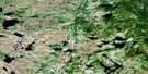
Eastern Pond Satellite Image: Mountains
Pine Tree HillEastern Pond Satellite Image: Rivers
Alec's BrookBear Brook
Beaver Brook
Bernards Brook
Chiouk Brook
Cooper Brook
Dennis Brook
Great Gull River
Greenwood Brook
Gris Brook
Jumbo Brook
Miguels Brook
Northwest Gander River
Ranger Brook
Rocky Brook
Rolling Brook
Southwest Gander River
Webber Brook
Winter Brook
© Department of Natural Resources Canada. All rights reserved.
002D Related Maps:
002D Gander Lake002D01 Tug Pond
002D02 Meta Pond
002D03 Mount Sylvester
002D04 Twillick Brook
002D05 Burnt Hill
002D06 Great Gull Lake
002D07 Kepenkeck Lake
002D08 Port Blandford
002D09 Glovertown
002D10 Dead Wolf Pond
002D11 Eastern Pond
002D12 Miguels Lake
002D13 Grand Falls
002D14 Mount Peyton
002D15 Gander
002D16 Gambo
