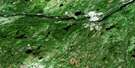
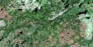
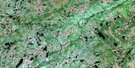
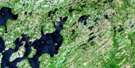
Gander Satellite Image Map
Download Free Aerial Photo 002D15 at 1:50,000 scale
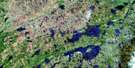
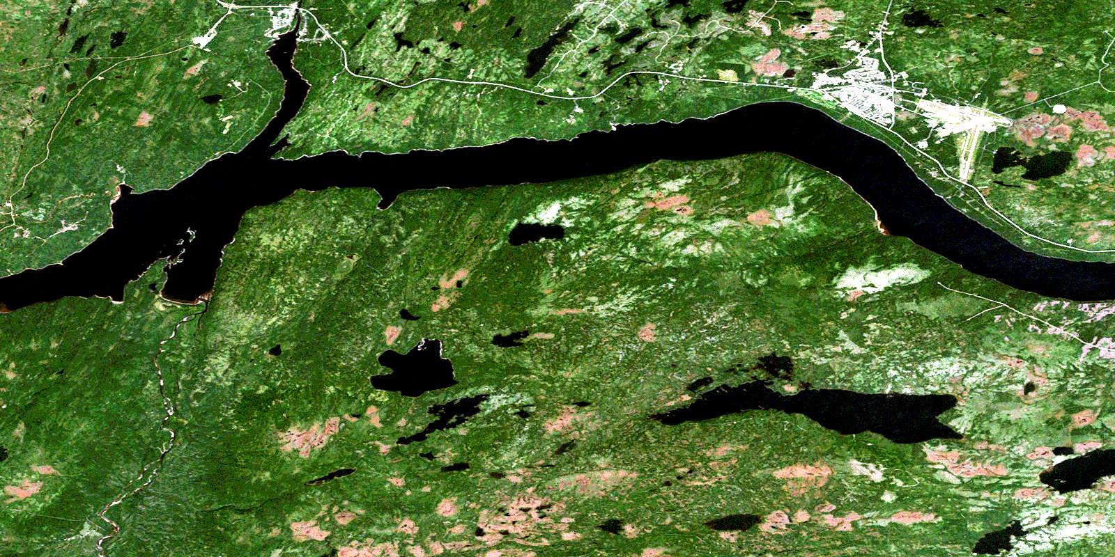
Gander Satellite Imagery
To view this satellite map, mouse over the air photo on the right.
You can also download this satellite image map for free:
002D15 Gander high-resolution satellite image map.
Maps for the Gander aerial map sheet 002D15 at 1:50,000 scale are also available in these versions:
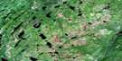
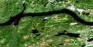
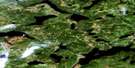
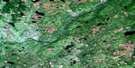
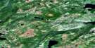
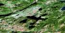
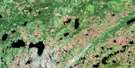
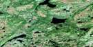
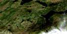
Gander Surrounding Area Aerial Photo Maps
 |
 |
 |
 |
 |
 |
 |
 |
 |
 |
 |
 |
 |
 |
 |
 |
© Department of Natural Resources Canada. All rights reserved.
Gander Gazetteer
The following places can be found on satellite image map 002D15 Gander:
Gander Satellite Image: Bays
Careless CoveHunts Cove
The Outflow
Gander Satellite Image: Capes
Bluff HeadKings Point
Lukeman Head
Sandy Point
Gander Satellite Image: Islands
Southwest IslandsGander Satellite Image: Lakes
Cobbs PondDeadmans Pond
Gander Lake
Gillinghams Pond
Hunts Ponds
Joe Batts Pond
Little Dead Wolf Pond
Rodney Pond
Second Burnt Pond
Whitmans Pond
Woodmans Pond
Gander Satellite Image: Conservation areas
Glenwood Provincial ParkNewfoundland T'Railway Provincial Park
Gander Satellite Image: Rivers
Careless BrookFifteen Mile Brook
Gander River
Hunts Brook
Joe Batts Brook
Joe's Feeder
Little Dead Wolf Brook
Millers Brook
Northwest Brook
Richards Brook
Salmon River
Shea Brook
Southwest Gander River
Winter Brook
Yellow Fox Brook
Gander Satellite Image: Towns
AppletonGander
Glenwood
Gander Satellite Image: Unincorporated areas
GleneaglesMonchy
© Department of Natural Resources Canada. All rights reserved.
002D Related Maps:
002D Gander Lake002D01 Tug Pond
002D02 Meta Pond
002D03 Mount Sylvester
002D04 Twillick Brook
002D05 Burnt Hill
002D06 Great Gull Lake
002D07 Kepenkeck Lake
002D08 Port Blandford
002D09 Glovertown
002D10 Dead Wolf Pond
002D11 Eastern Pond
002D12 Miguels Lake
002D13 Grand Falls
002D14 Mount Peyton
002D15 Gander
002D16 Gambo
