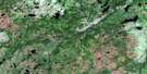
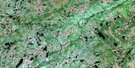
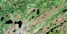
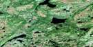
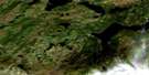
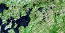
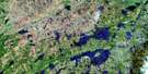
Glovertown Satellite Image Map
Download Free Aerial Photo 002D09 at 1:50,000 scale
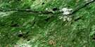
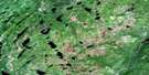
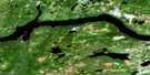
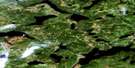
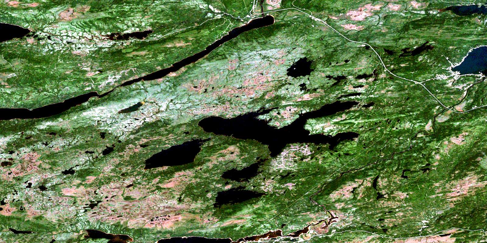
Glovertown Satellite Imagery
To view this satellite map, mouse over the air photo on the right.
You can also download this satellite image map for free:
002D09 Glovertown high-resolution satellite image map.
Maps for the Glovertown aerial map sheet 002D09 at 1:50,000 scale are also available in these versions:
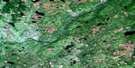
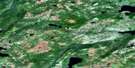
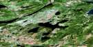
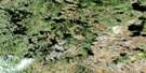
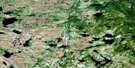
Glovertown Surrounding Area Aerial Photo Maps
 |
 |
 |
 |
 |
 |
 |
 |
 |
 |
 |
 |
 |
 |
 |
 |
© Department of Natural Resources Canada. All rights reserved.
Glovertown Gazetteer
The following places can be found on satellite image map 002D09 Glovertown:
Glovertown Satellite Image: Bays
Adams AngleAlexander Bay
Barred Island Cove
Middle Arm
Millers Angle
Northwest Arm
Skiffingtons Cove
Strouds Cove
Glovertown Satellite Image: Capes
Barred Island PointBill Dicks Head
Green Point
Steins Point
Strouds Point
Glovertown Satellite Image: Channels
The NarrowsGlovertown Satellite Image: Falls
Big FallsGrant Falls
Glovertown Satellite Image: Islands
Barred IslandSalmon Island
Woody Island
Glovertown Satellite Image: Lakes
Beaver PondBlackwood Steady
Boatswains (First) Pond
Boatswains (Second) Pond
Briffetts Pond
Brookings Pond
Cashins Pond
Chain Pond
Charlie Chaulk's Pond
Duck Pond
Eastmans Pond
First Pond
Fords Pond
Fords Pond
Fourth Pond
Gambo Pond
Garlands Pond
Georges Pond
Gull Pond
Gull Pond
LeDrews Pond
Little Gull Pond
Little Northwest Pond
Little Stag Pond
Long Pond
Long Pond
Maccles Lake
Masons Pond
Mud Pond
North Pond
Northwest Pond
Parsons Pond
Reids Pond
Rocky Pond
Rocky Pond
Saunders Pond
Second Pond
Southwest Ponds
Stag Pond
Terra Nova Lake
Third Pond
Third Pond
Tunnel Pond
Glovertown Satellite Image: Mountains
Church House HillGambo Ridge
North Shore Lookout
Pine Tree Hill
Saunders Cove Lookout
Skiffingtons Cove Hill
The Lookout
Tower Hill
Glovertown Satellite Image: Conservation areas
Newfoundland T'Railway Provincial ParkParc national du Canada Terra-Nova
Terra Nova National Park of Canada
Glovertown Satellite Image: Rivers
Big BrookDeweys Brook
FordsBrook
Gambo Brook
Georges Brook
Maccles Brook
Maccles Brook
Mint Brook
Muskrat Brook
Northwest Brook
Northwest Brook
Parsons Brook
Pitts Brook
Saunders Brook
Southwest Brook
Southwest Brook
Steers Brook
Terra Nova Brook
Terra Nova North River
Terra Nova River
Glovertown Satellite Image: Towns
Dark Cove-Middle Brook-GamboGambo
Glovertown
Terra Nova
Glovertown Satellite Image: Unincorporated areas
Alexander BayGambo Pond
Glovertown South
Grants
Maccles
North Shore
Saunders Cove
Walsh
Glovertown Satellite Image: Valleys
Parsons ValleyGlovertown Satellite Image: Low vegetation
Gros MarshSaltons Marshes
Skiffingtons Cove Marsh
Strouds Bog
© Department of Natural Resources Canada. All rights reserved.
002D Related Maps:
002D Gander Lake002D01 Tug Pond
002D02 Meta Pond
002D03 Mount Sylvester
002D04 Twillick Brook
002D05 Burnt Hill
002D06 Great Gull Lake
002D07 Kepenkeck Lake
002D08 Port Blandford
002D09 Glovertown
002D10 Dead Wolf Pond
002D11 Eastern Pond
002D12 Miguels Lake
002D13 Grand Falls
002D14 Mount Peyton
002D15 Gander
002D16 Gambo
