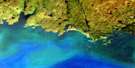
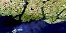
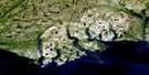
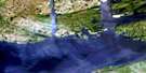
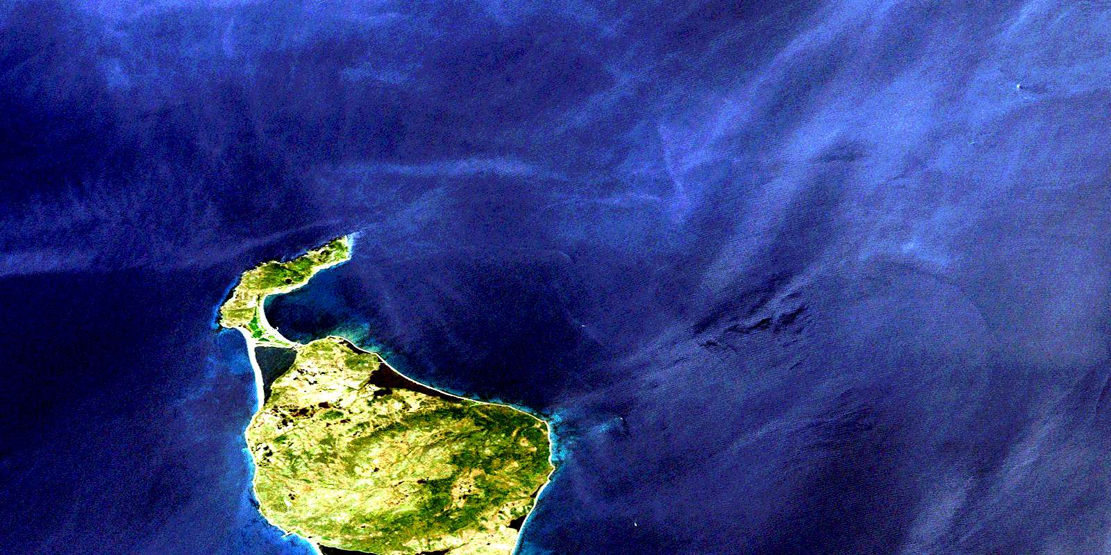
Grande Miquelon Satellite Image Map
Download Free Aerial Photo 011P01 at 1:50,000 scale
Grande Miquelon Satellite Imagery
To view this satellite map, mouse over the air photo on the right.
You can also download this satellite image map for free:
011P01 Grande Miquelon high-resolution satellite image map.
Maps for the Grande Miquelon aerial map sheet 011P01 at 1:50,000 scale are also available in these versions:
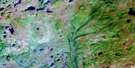
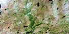
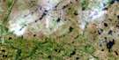
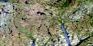
Grande Miquelon Surrounding Area Aerial Photo Maps
 |
 |
 |
 |
 |
 |
 |
 |
 |
|||
 |
© Department of Natural Resources Canada. All rights reserved.
Grande Miquelon Gazetteer
The following places can be found on satellite image map 011P01 Grande Miquelon:
Grande Miquelon Satellite Image: Islands
Big Plate IslandLittle Plate Island
Plate Islands
Grande Miquelon Satellite Image: Shoals
Dominie RockEvans Ridge
Fermoy Shoal
Gallop Shoals
Little Plate Rocks
Martin Rock
Molliers Rock
Molliers Shoal
Northwest Sunker
Southeast Sunker
Southern Shoal
Southwest Sunker
© Department of Natural Resources Canada. All rights reserved.
