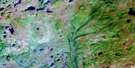
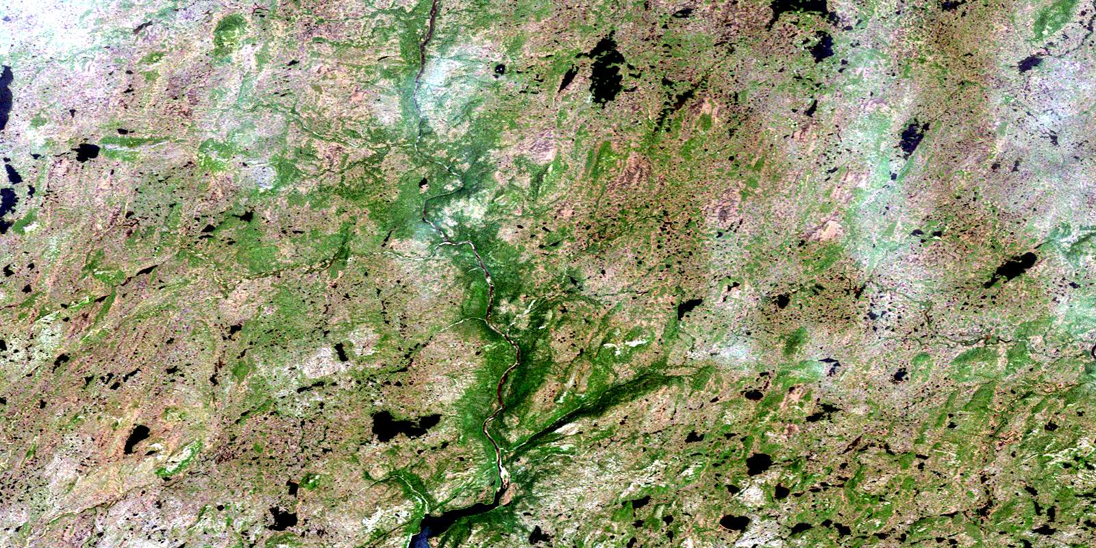
White Bear River Satellite Image Map
Download Free Aerial Photo 011P14 at 1:50,000 scale
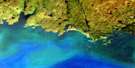
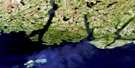
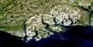
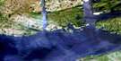
White Bear River Satellite Imagery
To view this satellite map, mouse over the air photo on the right.
You can also download this satellite image map for free:
011P14 White Bear River high-resolution satellite image map.
Maps for the White Bear River aerial map sheet 011P14 at 1:50,000 scale are also available in these versions:
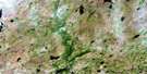
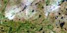
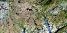
White Bear River Surrounding Area Aerial Photo Maps
 |
 |
 |
 |
 |
 |
 |
 |
 |
|||
 |
© Department of Natural Resources Canada. All rights reserved.
White Bear River Gazetteer
The following places can be found on satellite image map 011P14 White Bear River:
White Bear River Satellite Image: Bays
Little HarbourLolli Cove
Western Little Harbour
White Bear Bay
White Bear River Satellite Image: Beaches
The ReefWhite Bear River Satellite Image: Capes
Grandy PointGraveyard Point
Knowles Point
Pigs Head
Prospectors Point
Sandy Point
Sharps Head
White Bear River Satellite Image: Cliffs
Big Black CliffBlack Cliff
Little Black Cliff
White Bear River Satellite Image: Falls
The FallsWhite Bear River Satellite Image: Forests
Bens WoodsMiddle Country Path
Park Woods
Porters Woods
The Birches
White Bear River Satellite Image: Islands
Pauls IslandWhite Bear River Satellite Image: Lakes
Beaver PondBig Pond
Big Pond
Cochrane Pond
Finger Pond
Goose Pond
Hales Lake
Harolds Pond
Indian Brook Pond
Inside Sandy Cove Pond
Island Pond
Long Pond
Otter Pond
Pauls Pond
Sandy Cove Pond
Stephensons Pond
Top Pond
Trout Hole
White Bear River Satellite Image: Mountains
7 and 20 Deer Hill7 Mile Hill
Bear Hill
Bunker Hill
Burgeo Woody Hills
Burnt Ground
Burnt Hill
Cyrils Hill
Indian Brook Hills
Inside Ridge
Kents Lookout
Kettle Nob
Lookout
Middle Ridge
Mitchells Hills
Moose Mountain
Nans Hill
Northeast Hill
Outer Ridge
Pinks Hills
Pot Hill
Pup Knob
Square Hill
Stephensons Hill
Tom Jeans Hill
Tote
Woody Mountain
White Bear River Satellite Image: Rivers
Bay de Loup BrookCross Brook
Cut Path Brook
Grey River
Indian Brook
Kings Harbour Brook
Knowles Brook
Little Indian Brook
River Gulch
Seal Brook
Spirit Brook
Tides Brook
White Bear River
White Bear River Satellite Image: River features
Flat Rock PoolIsland Pool
Lower Sands
Pennys Pool
Sure Shot Pool
Upper Sands
White Bear River Satellite Image: Road features
Pinks PathWhite Bear River Satellite Image: Unincorporated areas
Old MillWhite Bear River Satellite Image: Low vegetation
Big MeshMuskrat Mesh
© Department of Natural Resources Canada. All rights reserved.
