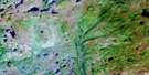
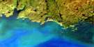
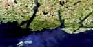
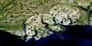
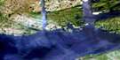
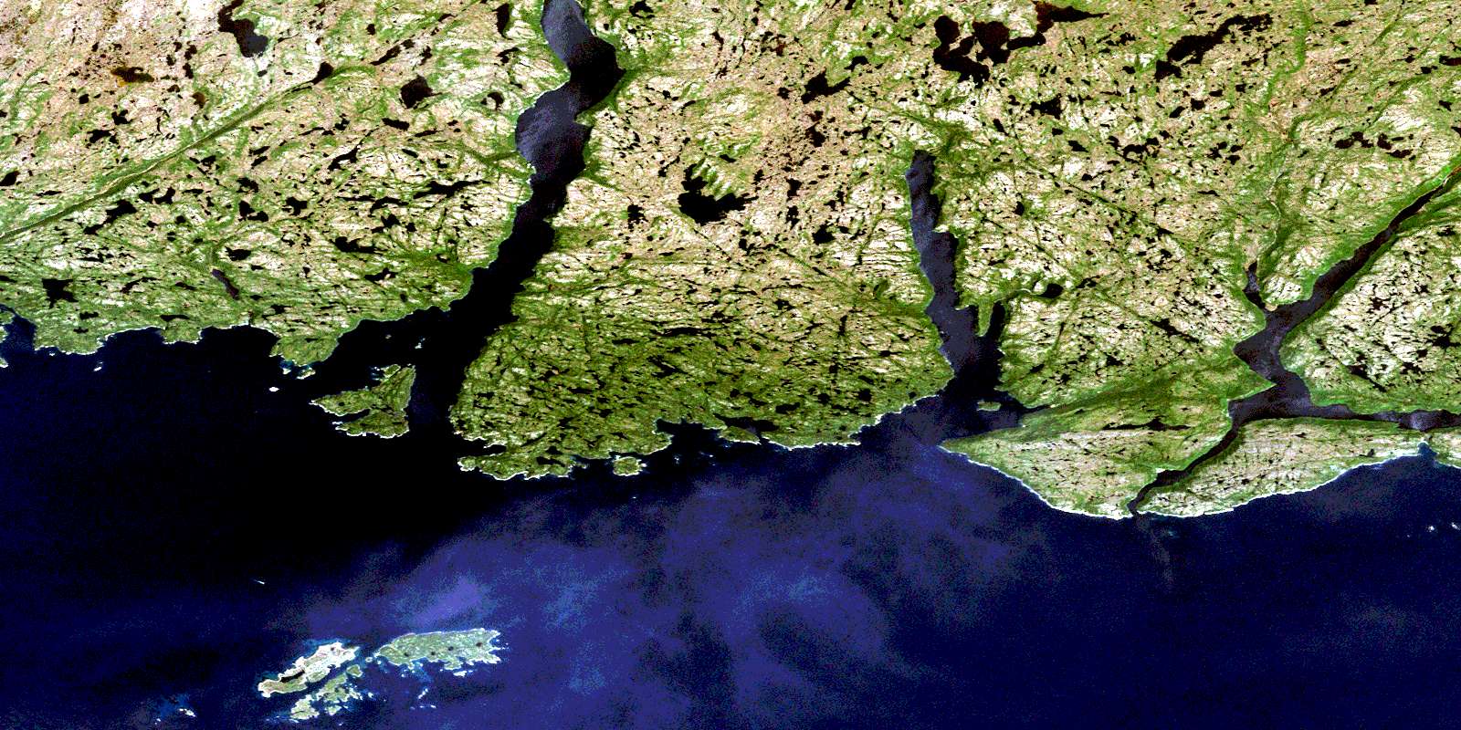
Ramea Satellite Image Map
Download Free Aerial Photo 011P11 at 1:50,000 scale
Ramea Satellite Imagery
To view this satellite map, mouse over the air photo on the right.
You can also download this satellite image map for free:
011P11 Ramea high-resolution satellite image map.
Maps for the Ramea aerial map sheet 011P11 at 1:50,000 scale are also available in these versions:
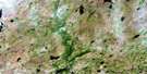
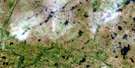
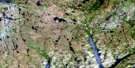
Ramea Surrounding Area Aerial Photo Maps
 |
 |
 |
 |
 |
 |
 |
 |
 |
|||
 |
© Department of Natural Resources Canada. All rights reserved.
Ramea Gazetteer
The following places can be found on satellite image map 011P11 Ramea:
Ramea Satellite Image: Bays
Bay de VieuxBen Keepings Cove
Big Cove
Birchy Cove
Brimball Storehouse Cove
Bucks Hole
Buffetts Cove
Caplin Cove
Coopers Cove
Coppett Harbour
Cork Hole
Cul de Sac Harbour
Doctor Harbour
Doctor Harbour
Dog Cove
Eastern Harbour
Emily Storehouse Cove
Fox Hole
Fox Island Harbour
Frenchman Cove
Frenchmans Cove
Georges Cove
Gulch Cove
Gulf Cove
Hoist Sail Cove
Island Cove
Jacksons Hole
Jerts Cove
Jigging Cove
Keepings Cove
Little Dog Cove
Mosquito Harbour
Muddy Harbour
Northeast Arm
Northeast Arm
Northeast Cove
Northwest Arm
Ramea Harbour
Rinding Hole
Rudder Cove
Ship Cove
Shoal Cove
Shoal Cove
Southeast Arm
Squier Back Cove
Squier Cove
Stones Cove
The Nook
Thomas Cove
Turks Cove
White Bear Bay
White Point Cove
Whiz-ma-jig
Winter House Cove
Wreck Cove
Ramea Satellite Image: Beaches
Har SandsRamea Satellite Image: Capes
Bald PointBear Head
Blow Me Down Point
Bonnels Point
Conners Nose
Crow Head
East Point
East Point
Eastern End
Fender Point
Fish Head
Georges Cove Head
Grey River Point
Horse Head
Northeast Point
Northwest Head
Northwest Head
Northwest Head
Pinks Point
Salmon Net Head
Turks Head
West Point
West Point
Western Head
White Point
Ramea Satellite Image: Channels
NarrowsNortheast Passage
Shoal Passage
Ramea Satellite Image: Cliffs
Blow Me DownRamea Satellite Image: Islands
Bear IslandBlack Island
Copper Island
Deer Island
Denny Island
Eastern Harbour Island
Fish Island
Flat Island
Fox Island
Gnat Island
Great Island
Grip Island
Gulch Cove Islands
Gull Island
Gull Island
Harbour Island
Iron Island
Little Gull Island
Long Island
Middle Island
Northwest Island
Not Island
Pinks Point Isle
Puffin Island
Ramea Colombier
Ramea Islands
Round Island
Seal Island
Shag Islands
Southwest Island
Susan Island
Three Islands
Turks Island
Turnip Island
Turr Island
Turr Islets
White Island
White Island
Woody Island
Ramea Satellite Image: Lakes
Admirals PondBig Pond
Cart Pond
Georges Cove Pond
Island Pond
Northwest Pond
Slop Dish
Vamp Pond
Ramea Satellite Image: Mountains
Billys HillBuffetts Lookout
Colliers Hill
Devils Knob
Gull Hill
High Ridge
Man of War Hill
Rocky Ridge
The Nugget
Vamp Pond Ridges
Ramea Satellite Image: Rivers
Bay de Loup BrookDry Brook
Fish Brook
Grey River
Kings Harbour Brook
Northwest Brook
Seal Brook
Slip Brook
Southeast Brook
Ramea Satellite Image: Shoals
Anderson RockAnderson Sunkers
Bad Neighbour
Bad Rock
Black Rock
Black Rock
Black Sunker
Cul de Sac Rocks
East Black Rock
Eastern Rock
Eastern Rock Shoal
Fish Island Shoal
Fox Island Rock
Good Rock
Gull Island Shoal
Gull Rock
Lizard Rock
Northward Rocks
Offer Sunker
Old Man Shoal
Samuel Shoal
Seal Rocks
Shag Islands Shoal
Ship Shoal
Southwest Rocks
Tom Rock
West Black Rock
White Rock
Ramea Satellite Image: Towns
RameaRamea Satellite Image: Unincorporated areas
Bonalds IslandBonald's Island
Coppett
Deer Island
Dog Cove
Fox Island Harbour
Grey River
Red Island
© Department of Natural Resources Canada. All rights reserved.
