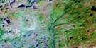
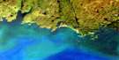
D'Espoir Brook Satellite Image Map
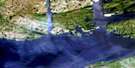
Download Free Aerial Photo 011P16 at 1:50,000 scale
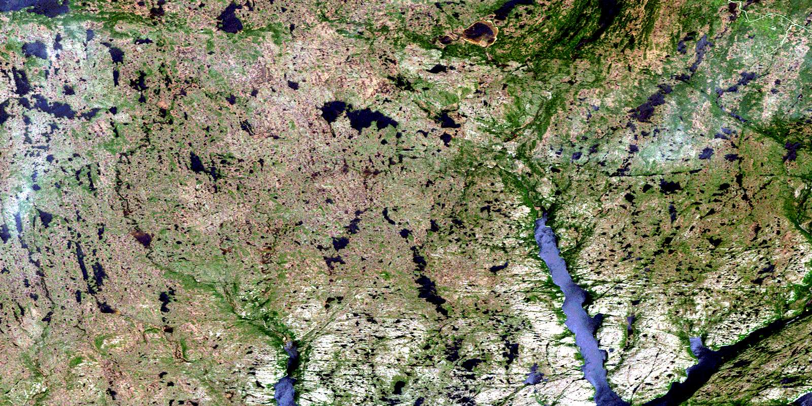
D'Espoir Brook Satellite Imagery
To view this satellite map, mouse over the air photo on the right.
You can also download this satellite image map for free:
011P16 D'Espoir Brook high-resolution satellite image map.
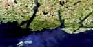
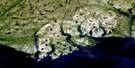
Maps for the D'Espoir Brook aerial map sheet 011P16 at 1:50,000 scale are also available in these versions:
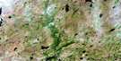
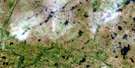
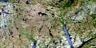
D'Espoir Brook Surrounding Area Aerial Photo Maps
 |
 |
 |
 |
 |
 |
 |
 |
 |
|||
 |
© Department of Natural Resources Canada. All rights reserved.
D'Espoir Brook Gazetteer
The following places can be found on satellite image map 011P16 D'Espoir Brook:
D'Espoir Brook Satellite Image: Bays
Bay d'EspoirBig Boat Cove
Boat Cove
Burn Cove
Burnt Cove
Charlottetown Bottom
Cul de Sac
Doting Cove
East Bay
Facheux Bay
First Bight
Garland Cove
Grandfather Nashs Cove
Green Cove
Island Cove
Kings Cove
Larner Cove
Little Boat Cove
Little Doting Cove
North Bay
Northwest Cove
Organ Bight
Pomley Cove
Second Bight
Second Brook Cove
Stones Point Cove
The Barasway
Thomey Cove
Woody Bight
Woody Bight
D'Espoir Brook Satellite Image: Capes
Bald PointBarasway Point
Birchy Point
Dog Point
Hughes Head
Hughes Point
Indian Point
Lazarus Point
Little Bald Point
Otter Rub Head
Rowsells Point
The White Horse
Tickle Point
White Point
Wilcott (Pullett) Point
Wilcott Point
D'Espoir Brook Satellite Image: Cliffs
Icy ScrapeD'Espoir Brook Satellite Image: Lakes
Bear LakeBeaver Pond
Black Duck Pond
D'Espoir Lake
Dollard Pond
Jeddore Lake
Morris Pond
Nicholas Pond
Sandy Pond
Seven Island Pond
D'Espoir Brook Satellite Image: Mountains
Boiler HillDevils Dancing Table
Morris Hill
Round Hill
Whales Back
D'Espoir Brook Satellite Image: Rivers
Beaver BrookBottom Brook
Cross Brook
D'Espoir Brook
Eastern Brook
First Brook
Hughes Brook
Morgan Brook
Penny Brook
Salmon River
Shoal Brook
Western Brook
D'Espoir Brook Satellite Image: Shoals
Brem BankDog Rock
Dogberry Rock
© Department of Natural Resources Canada. All rights reserved.
