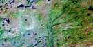
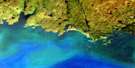
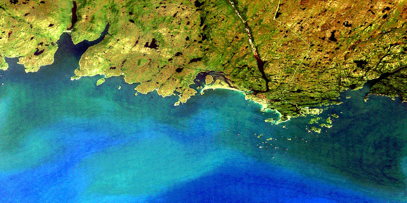
Burgeo Satellite Image Map
Download Free Aerial Photo 011P12 at 1:50,000 scale
Burgeo Satellite Imagery
To view this satellite map, mouse over the air photo on the right.
You can also download this satellite image map for free:
011P12 Burgeo high-resolution satellite image map.
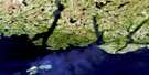
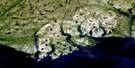
Maps for the Burgeo aerial map sheet 011P12 at 1:50,000 scale are also available in these versions:
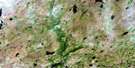
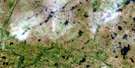
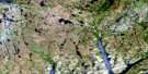
Burgeo Surrounding Area Aerial Photo Maps
 |
 |
 |
 |
 |
 |
 |
 |
 |
|||
 |
© Department of Natural Resources Canada. All rights reserved.
Burgeo Gazetteer
The following places can be found on satellite image map 011P12 Burgeo:
Burgeo Satellite Image: Bays
Aaron ArmAaron Arm
Back Cove
Barasway Bay
Bay de Loup
Billiard Cove
Burgeo Port
Burnt Head Cove
Connoire Bay
Deep Cove
Doctor Harbour
First Arm
Gilham Cove
Golfe du Saint-Laurent
Gulf of St. Lawrence
Indian Hole
Kings Harbour
Long Will Hole
Mercer Cove
Moon Cove
Muddy Hole
Muddy Hole Bay
Northeast Arm
Northwest Arm
Northwest Arm
Red Island Harbour
Ship Dock Cove
Sots Hole
The Ha Ha
Tilt Cove
West Muddy Hole
Wreck Island Harbour
Burgeo Satellite Image: Capes
Aldridge HeadBarasway Point
Bay de Loup Point
Bell Head
Burnt Head
Charlie Head
Connoire Head
Coombes Head
Crow Head
East Point
Fox Point
Furber Point
Gilham Head
Grip Head
Harbour Point
Kelpy Cove Point
Kings Head
Little Barasway Head
Little Gut Head
Maze Point
Mercer Point
Mid Head
Middle Head
Middle Woods
Muddy Hole Point
Murray Point
Norman Head
Otter Point
Potato Point
Red Head
Richards Head
Sand Spit
Sandbanks Point
The Nuddick
The Nuddick
Tom Rock Head
Western Point
Burgeo Satellite Image: Channels
Little GutThe Canal
Burgeo Satellite Image: Cliffs
Blow Me DownBurgeo Satellite Image: Islands
Aaron IslandBaggs Island
Baring Island
Boar Island
Buffetts Island
Burgeo Islands
Burnt Islands
Colombier Island
Coombes Islands
Cornelius Island
Crocker Island
Cuttail Island
Doctor Island
Duck Island
Eclipse Island
Fish Island
Flannagan Island
Flat Island
Franks Island
Fryingpan
Goose Island
Grandy Island
Green Island
Green Island
Green Island
Greenhill Island
Grip Island
Gull Island
Gun Island
Harbour Island
Hug My Dug Island
Hunt's Island
Jack Island
Little Boar Island
Little Colombier Island
Little Rencontre Island
Miffel Island
Morgan Island
Musket Islands
Pigeon Island
Piper Island
Poll Island
Puffin Island
Ragged Island
Rencontre Island
Round Island
Round Shag Island
Salmon Net Island
Sandbanks Point Island
Seal Islands
Shag Island
Smalls Island
South Shag Island
Spritsail Island
The Baldwin
The Friar
Turks Island
Venils Island
West Flat Island
White Island
Wreck Island
Burgeo Satellite Image: Lakes
Big BarachoisBig Barasway
Cowlest Barasway
Gull Pond
Little Barasway
Burgeo Satellite Image: Mountains
Cobbler HillCow House Hill
Father Hughes Hill
Forked Hills
Round Hill
Six Mile Hill
The Louse Box
Trimming Hill
Woody Hill
Burgeo Satellite Image: Conservation areas
Sandbanks Provincial ParkBurgeo Satellite Image: Rivers
Bay de Loup BrookCutts Brook
First Brook
Grandy Brook
Kelly Brook
Kings Harbour Brook
Middle Brook
Rattling Brook
Seal Brook
Seal Brook
Wooden Tilt Brook
Woody Hill Brook
Burgeo Satellite Image: River features
Long ReachShort Reach
Burgeo Satellite Image: Shoals
Aldridge RockBaldwin Shoal
Bateau Rock
Bay de Loup Rock
Billy Bump Shoal
Black Rock
Black Rock
Black Rock
Boar Island Rock
Boar Island Shoal
Charlie Rock
Charlie Rock
Charlie Rock
Circular Rocks
Clam Bank
Cloven Cod
Connoire Bank
Connoire Offer Part
Cross Rocks
Dick Rock
Fish Island Rock
Fish Rock
Flat Island Shoal
Fortune Rock
Galloping Moll
Graley Rock
Grandfather Rock
Green Island Rocks
Green Island Rocks
Green Island Shoal
Green Rock
Halibut Rock
Harbour Island Rock
Jumper Shoal
Killock Shoal
Little Rencontre Rocks
Longboat Rocks
Marchand Rock
Mark Rocks
Miffel Rocks
Mile Rocks
Nags Head Shoal
Neverfail
New Mark Rock
No Mans Rock
Offer Shag Island Bank
Offer Shoal
Petit Marchand
Point Shoal
Pot Rock
Rencontre Rock
Saddle Fox
Sam Crew Shoal
Seal Rocks
Seal Rocks Shoal
Slaughter Rock
Stern Rock
The Boar
The Douglas
The Hummock
The Jumper
The Painter
The Sandbanks
The Sow
Tom Cod Rock
Venils Shoal
Western Point Rock
Western Rock
Whales Back
White Ground
White Island Shoal
Winging Rock
Winging Rock
Womans Rock
Wreck Island Bank
Wreck Offer Part
Yankee Rock
Burgeo Satellite Image: Towns
BurgeoBurgeo Satellite Image: Unincorporated areas
Bay de LoupDoctors Harbour
Our Harbour
Red Island
Upper Burgeo
© Department of Natural Resources Canada. All rights reserved.
