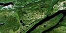
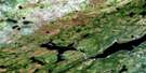
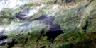
Rainy Lake Satellite Image Map
Download Free Aerial Photo 012A14 at 1:50,000 scale
Rainy Lake Satellite Imagery
To view this satellite map, mouse over the air photo on the right.
You can also download this satellite image map for free:
012A14 Rainy Lake high-resolution satellite image map.
Maps for the Rainy Lake aerial map sheet 012A14 at 1:50,000 scale are also available in these versions:
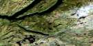
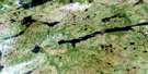
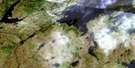
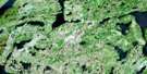
Rainy Lake Surrounding Area Aerial Photo Maps
 |
 |
 |
 |
 |
 |
 |
 |
 |
 |
 |
 |
 |
 |
 |
 |
© Department of Natural Resources Canada. All rights reserved.
Rainy Lake Gazetteer
The following places can be found on satellite image map 012A14 Rainy Lake:
Rainy Lake Satellite Image: Capes
Abrahams Sail PointLittle Pond Point
Rainy Lake Satellite Image: Lakes
Alex PondGrand Lake
Hilltop Pond
Hinds Lake
Lanes Pond
Rainy Lake
Stoney Lake
Upper Glide Lake
Rainy Lake Satellite Image: Mountains
Fisher HillsThe Topsails
Rainy Lake Satellite Image: Rivers
Clench BrookConnors Brook
Harrys Brook
Island Pond Brook
Kellys Creek
Little Pond Brook
Shanadithit Brook
Sixty-second Brook
Thirty-fifth Brook
Rainy Lake Satellite Image: Unincorporated areas
Le Croche-du-Criard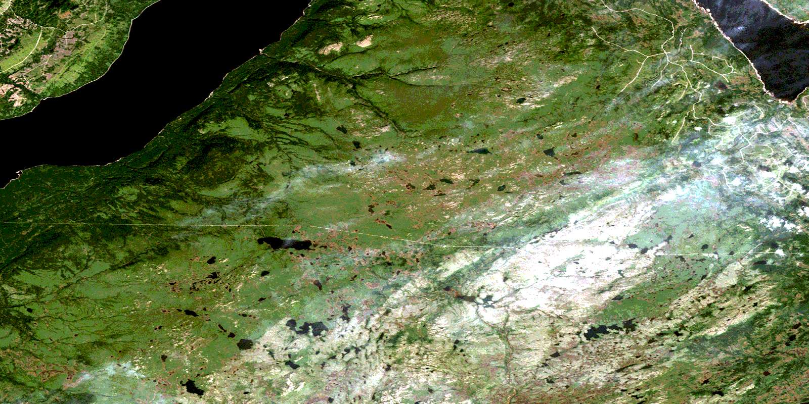
© Department of Natural Resources Canada. All rights reserved.
012A Related Maps:
012A Red Indian Lake012A01 Cold Spring Pond
012A02 Wolf Mountain
012A03 Burnt Pond
012A04 King George Iv Lake
012A05 Puddle Pond
012A06 Victoria Lake
012A07 Snowshoe Pond
012A08 Great Burnt Lake
012A09 Noel Paul's Brook
012A10 Lake Ambrose
012A11 Star Lake
012A12 Little Grand Lake
012A13 Corner Brook
012A14 Rainy Lake
012A15 Buchans
012A16 Badger
