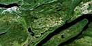
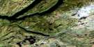
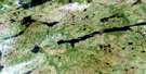
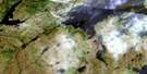
Corner Brook Satellite Image Map
Download Free Aerial Photo 012A13 at 1:50,000 scale
Corner Brook Satellite Imagery
To view this satellite map, mouse over the air photo on the right.
You can also download this satellite image map for free:
012A13 Corner Brook high-resolution satellite image map.
Maps for the Corner Brook aerial map sheet 012A13 at 1:50,000 scale are also available in these versions:
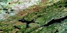
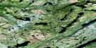
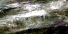
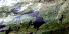
Corner Brook Surrounding Area Aerial Photo Maps
 |
 |
 |
 |
 |
 |
 |
 |
 |
 |
 |
 |
 |
 |
 |
 |
© Department of Natural Resources Canada. All rights reserved.
Corner Brook Gazetteer
The following places can be found on satellite image map 012A13 Corner Brook:
Corner Brook Satellite Image: Bays
Bay of IslandsBrake Cove
Brakes Cove
Bucket Cove
Church Cove
Curling Cove
Humber Arm
Northern Harbour
Pettipas Cove
Wild Cove
Corner Brook Satellite Image: Beaches
The BarCorner Brook Satellite Image: Capes
Bear HeadBrake Point
Brakes Point
Crow Head
Dancing Point
DeGrouchy Point
Grand Pond Point
Inner Aspen Point
Johns Point
Pettipas Point
Rood Point
Seal Head
Tucker Head
Corner Brook Satellite Image: Channels
The NarrowsCorner Brook Satellite Image: City
Corner BrookCorner Brook Satellite Image: Islands
Glover IslandShellbird Island
Corner Brook Satellite Image: Lakes
Abel PondAngle Pond
Angle Pond
Annette Pond
Aye Pond
Bairds Pond
Bar Pond
Bee Pond
Big Feeder Pond
Blue Gulch Pond
Breeches Pond
Cain Pond
Caribou Lake
Cecile Pond
Cee Pond
Corner Brook Lake
Cove Pond
Dee Pond
Diamond Pond
East Branch Pond
Eastern Lake
Eel Pond
First Pond
Fox Bow Lake
Frying Pan Pond
Glynmill Pond
Grand Lake
Gullet Pond
Howes Pond
Island Pond
Island Pond
Island Pond
Lady Slipper Pond
Line Pond
Link Pond
Livingston Pond
Meadows Pond
Middle Pond
Millie Pond
Muddy Pond
Muskrat Pond
Narrow Pond
Normans Pond
North Pond
Oxbow Pond
Parsons Pond
Pinchgut Lake
Pynns Pond
Rapid Pond
Rat Pond
Rocky Pond
Round Pond
Rubber Lake
Sandy Pond
Southwest Pond
Steady Brook Lake
Strattons Pond
Tea Pond
Third Pond
Three Corner Pond
Tippings Pond
Transmission Pond
Trout Pond
Valley Lakes
Watsons Pond
Whale Back Pond
White Lake Pond
Wild Cove Lake
Yvonne Pond
Corner Brook Satellite Image: Mountains
American ManBells Hill
Crow Hill
Duncans Rock
Long Range Mountains
Marble Mountain
Mount Musgrave
Mount Patricia
Taylors Nose
The Old Man
Corner Brook Satellite Image: Conservation areas
Glover Island Public ReserveNewfoundland T'Railway Provincial Park
Stag Lake Provincial Park
Corner Brook Satellite Image: Rivers
Bells BrookBig Feeder Brook
Black Gulch Brook
Burnt Hill Brook
Camp Eleven Brook
Carp Creek
Condon Brook
Connors Brook
Conway Brook
Corner Brook
Crooked Brook
Deep Gulch Brook
Duncan Brook
East Steady Brook
Hughes Brook
Humber River
Irishtown Brook
Island Pond Brook
Lady Slipper Brook
Little Feeder Brook
Little Rapids Brook
Matthews Brook
Meadows Brook
Muskrat Brook
O'Rourke Brook
Parsons Brook
Porters Brook
Pynns Brook
Salmon Creek
South Bells Brook
South Brook
St. Marys Brook
Stag Hill Brook
Steady Brook
Transmission Brook
Trout Creek
Watsons Brook
Whale Back Brook
Whitefish Creek
Wild Cove Brook
Yellow Marsh Brook
Corner Brook Satellite Image: Towns
Corner Brook EastCorner Brook West
Curling
Hughes Brook
Humbermouth
Irishtown-Summerside
Massey Drive
Pasadena
Pasadena-Midland
Steady Brook
Corner Brook Satellite Image: Unincorporated areas
Country Road Industrial ParkDogwood
Harrison
Humber Village
Irishtown
Little Rapids
Maple Valley Industrial Park
Marble Mountain Ski Area
Midland
Russell
Steady Brook Bridge
Summerside
Watsons Pond Industrial Park
Corner Brook Satellite Image: Valleys
Crow GulchCorner Brook Satellite Image: Low vegetation
Yellow Marsh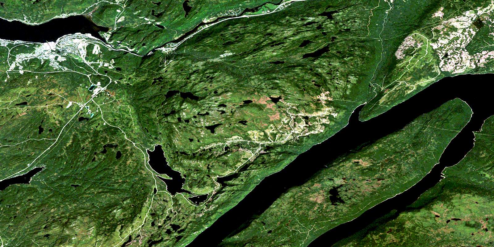
© Department of Natural Resources Canada. All rights reserved.
012A Related Maps:
012A Red Indian Lake012A01 Cold Spring Pond
012A02 Wolf Mountain
012A03 Burnt Pond
012A04 King George Iv Lake
012A05 Puddle Pond
012A06 Victoria Lake
012A07 Snowshoe Pond
012A08 Great Burnt Lake
012A09 Noel Paul's Brook
012A10 Lake Ambrose
012A11 Star Lake
012A12 Little Grand Lake
012A13 Corner Brook
012A14 Rainy Lake
012A15 Buchans
012A16 Badger
