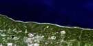
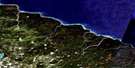
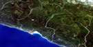
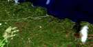
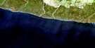
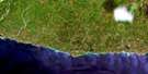
Anse De La Sauvagesse Satellite Image Map
Download Free Aerial Photo 012E14 at 1:50,000 scale
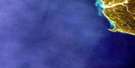
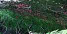
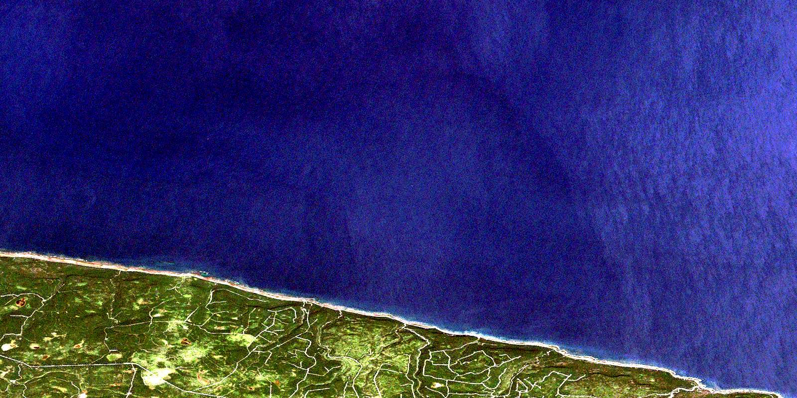
Anse De La Sauvagesse Satellite Imagery
To view this satellite map, mouse over the air photo on the right.
You can also download this satellite image map for free:
012E14 Anse De La Sauvagesse high-resolution satellite image map.
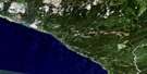
Maps for the Anse De La Sauvagesse aerial map sheet 012E14 at 1:50,000 scale are also available in these versions:
Anse De La Sauvagesse Surrounding Area Aerial Photo Maps
 |
 |
||
 |
 |
 |
 |
 |
 |
 |
 |
 |
 |
 |
© Department of Natural Resources Canada. All rights reserved.
Anse De La Sauvagesse Gazetteer
The following places can be found on satellite image map 012E14 Anse De La Sauvagesse:
Anse De La Sauvagesse Satellite Image: Bays
Anse BeaverAnse de la Sauvagesse
Anse de la Squaw
Anse de l'Indien
Anse du Castor
Anse Girard
Anse Hacket
Baie MacDonald
Baie McDonald
Golfe du Saint-Laurent
Havre Girard
Anse De La Sauvagesse Satellite Image: Miscellaneous campsites
Rivière-MacDonaldRivière-McDonald
Anse De La Sauvagesse Satellite Image: Capes
Côte de la DécouvertePointe à l'Épinette
Pointe au Naufrage
Pointe Wreck
Anse De La Sauvagesse Satellite Image: Channels
Détroit de Jacques-CartierAnse De La Sauvagesse Satellite Image: Cliffs
Falaise OuestFalaise Puyjalon
Le Nid de Corbeau
Anse De La Sauvagesse Satellite Image: Islands
Anticosti IslandÎle d'Anticosti
Anse De La Sauvagesse Satellite Image: Lakes
Lac CalmeLac des Fourches
Lac du Chevreuil
Anse De La Sauvagesse Satellite Image: Miscellaneous
Anse-du-CastorAnse De La Sauvagesse Satellite Image: Rivers
Rivière du CastorRivière MacDonald
Rivière McDonald
Ruisseau Kalimazoo
Ruisseau Nugg
Ruisseau Savoy
© Department of Natural Resources Canada. All rights reserved.
012E Related Maps:
012E Ile D'Anticosti012E01 Escarpement Bagot
012E02 Riviere Bilodeau
012E03 Riviere Chicotte
012E05 Anse Gibbons
012E06 Riviere Galiote
012E07 Lac Rainsford
012E08 Grande Baie Broom
012E09 Pointe De La Tour
012E10 Pointe Carleton
012E11 Lac Wickenden
012E12 Riviere Au Fusil
012E13 Lac Faure
012E14 Anse De La Sauvagesse
