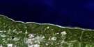
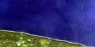
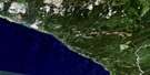
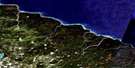
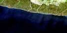
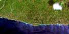
Anse Gibbons Satellite Image Map
Download Free Aerial Photo 012E05 at 1:50,000 scale
Anse Gibbons Satellite Imagery
To view this satellite map, mouse over the air photo on the right.
You can also download this satellite image map for free:
012E05 Anse Gibbons high-resolution satellite image map.
Maps for the Anse Gibbons aerial map sheet 012E05 at 1:50,000 scale are also available in these versions:
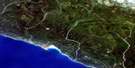
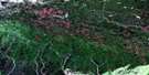
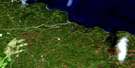
Anse Gibbons Surrounding Area Aerial Photo Maps
 |
 |
||
 |
 |
 |
 |
 |
 |
 |
 |
 |
 |
 |
© Department of Natural Resources Canada. All rights reserved.
Anse Gibbons Gazetteer
The following places can be found on satellite image map 012E05 Anse Gibbons:
Anse Gibbons Satellite Image: Bays
Anse des PopeAnse Gibbons
Baie Bonsecours
Golfe du Saint-Laurent
Anse Gibbons Satellite Image: Miscellaneous campsites
Jupiter-la-MerAnse Gibbons Satellite Image: Capes
Cap JupiterCap Ottawa
Côte de la Grande Traversée
Pointe de Marbre
Pointe du Sud-Ouest
Pointe Sud-Ouest
Sandy Cliff
Anse Gibbons Satellite Image: Channels
Détroit d'HonguedoPassage Gaspé
Anse Gibbons Satellite Image: Islands
Anticosti IslandÎle d'Anticosti
Anse Gibbons Satellite Image: Marine navigation features
Phare de Pointe-Sud-OuestAnse Gibbons Satellite Image: Rivers
Rivière JupiterRuisseau du Phoque
Ruisseau McCormick
Ruisseau Trois Milles
Anse Gibbons Satellite Image: Road features
Côte VerteAnse Gibbons Satellite Image: Unincorporated areas
Pointe-Sud-Ouest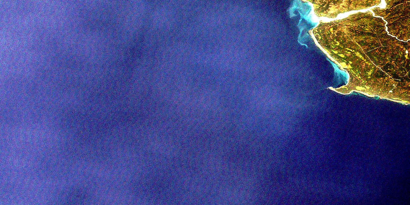
© Department of Natural Resources Canada. All rights reserved.
012E Related Maps:
012E Ile D'Anticosti012E01 Escarpement Bagot
012E02 Riviere Bilodeau
012E03 Riviere Chicotte
012E05 Anse Gibbons
012E06 Riviere Galiote
012E07 Lac Rainsford
012E08 Grande Baie Broom
012E09 Pointe De La Tour
012E10 Pointe Carleton
012E11 Lac Wickenden
012E12 Riviere Au Fusil
012E13 Lac Faure
012E14 Anse De La Sauvagesse
