Skinner Cove Satellite Image Map
Download Free Aerial Photo 012G09 at 1:50,000 scale
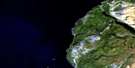
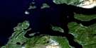
Skinner Cove Satellite Imagery
To view this satellite map, mouse over the air photo on the right.
You can also download this satellite image map for free:
012G09 Skinner Cove high-resolution satellite image map.
Maps for the Skinner Cove aerial map sheet 012G09 at 1:50,000 scale are also available in these versions:
Skinner Cove Surrounding Area Aerial Photo Maps
 |
|||
 |
|||
 |
© Department of Natural Resources Canada. All rights reserved.
Skinner Cove Gazetteer
The following places can be found on satellite image map 012G09 Skinner Cove:
Skinner Cove Satellite Image: Bays
Bonne BayBrake Cove
Brakes Cove
Golfe du Saint-Laurent
Green Fire Cove
Gulf of St. Lawrence
Old Mans Cove
Skinner Cove
Skinner Cove
Skinners Cove
Skinners Cove
Three Rock Cove
Skinner Cove Satellite Image: Beaches
Green GardensSkinner Cove Satellite Image: Capes
Western HeadSkinner Cove Satellite Image: Mountains
Brakes HillsGreen Garden
Long Range Mountains
Skinner Cove Satellite Image: Conservation areas
Gros Morne National Park of CanadaParc national du Canada du Gros-Morne
Skinner Cove Satellite Image: Rivers
Brakes BrookWallace Brook
Skinner Cove Satellite Image: Shoals
Trout River Rock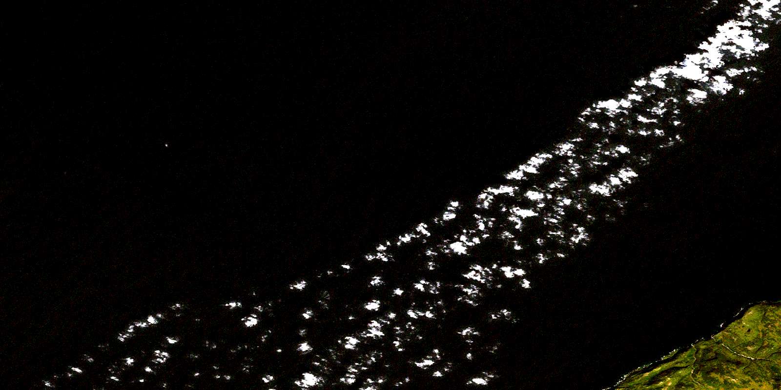
© Department of Natural Resources Canada. All rights reserved.
