Trout River Satellite Image Map
Download Free Aerial Photo 012G08 at 1:50,000 scale
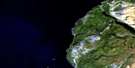
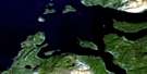
Trout River Satellite Imagery
To view this satellite map, mouse over the air photo on the right.
You can also download this satellite image map for free:
012G08 Trout River high-resolution satellite image map.
Maps for the Trout River aerial map sheet 012G08 at 1:50,000 scale are also available in these versions:
Trout River Surrounding Area Aerial Photo Maps
 |
|||
 |
|||
 |
© Department of Natural Resources Canada. All rights reserved.
Trout River Gazetteer
The following places can be found on satellite image map 012G08 Trout River:
Trout River Satellite Image: Bays
Beverley CoveChimney Cove
Davis Cove
Golfe du Saint-Laurent
Gulf of St. Lawrence
Lower Berth Cove
Red Fire Cove
Rencontre Cove
Shoal Cove
Trout River Bay
Trout River Satellite Image: Capes
Beverley HeadBig Cove Head
Cape St. Gregory
Chimney Cove Head
Crow Head
Green Point
North Head
Trout River Satellite Image: Channels
The NarrowsTrout River Satellite Image: Cliffs
Halfway CliffTrout River Satellite Image: Islands
Gregory IslandSaddle Island
Trout River Satellite Image: Lakes
Beaver PondChimney Cove Pond
Crollys Brook Pond
Dam Pond
Halfway Pond
Long Pond
Lower Trout River Pond
Manuels Brook Pond
Pick Pond
Round Pond
Skinners Cove Pond
Trout River Big Pond
Trout River Small Pond
Upper Trout River Pond
Trout River Satellite Image: Mountains
Big HillCourt A Mountain
Long Range Mountains
Mount St. Gregory
Mount St. Gregory Highlands
Narrows Head
Powells Peak
Table Mountain
Trout River Satellite Image: Conservation areas
Gros Morne National Park of CanadaParc national du Canada du Gros-Morne
Trout River Satellite Image: Rivers
Court A BrookFox Point Brook
Grassy Point Brook
Gregory River
Jumbo Brook
Liverpool Brook
Long Point Brook
Lower Crabb Brook
Manuels Brook
Middle Crabb Brook
Mitchell Brook
Powells Brook
Rocky Brook
The Feeder
Trout River
Upper Crabb Brook
Wallace Brook
Trout River Satellite Image: Shoals
Brandies RocksLower Gull Rock
Mad Molls
The Friar
Trout River Satellite Image: Towns
Trout RiverTrout River Satellite Image: Unincorporated areas
Chimney CoveTrout River Satellite Image: Valleys
Trout River Gulch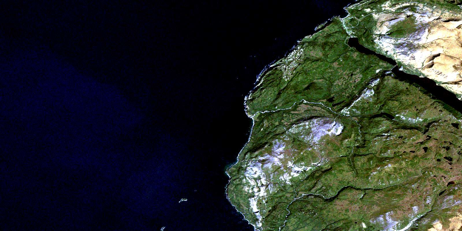
© Department of Natural Resources Canada. All rights reserved.
