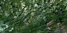
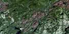
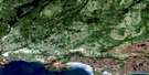
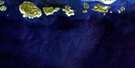
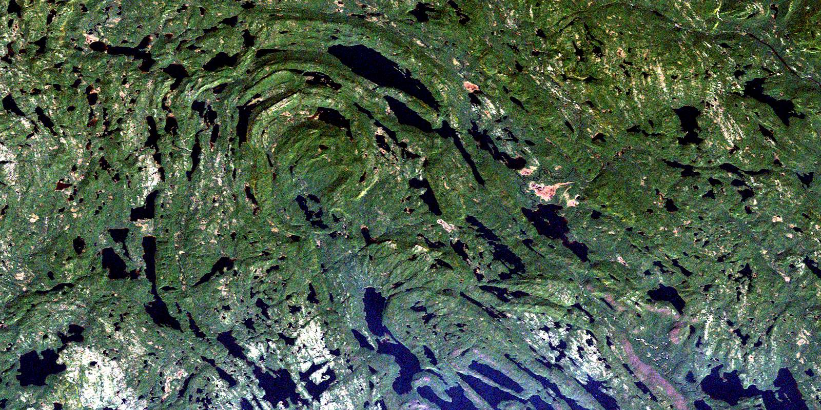
Lac Davy Satellite Image Map
Download Free Aerial Photo 012L15 at 1:50,000 scale
Lac Davy Satellite Imagery
To view this satellite map, mouse over the air photo on the right.
You can also download this satellite image map for free:
012L15 Lac Davy high-resolution satellite image map.
Maps for the Lac Davy aerial map sheet 012L15 at 1:50,000 scale are also available in these versions:
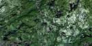
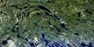
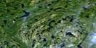
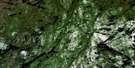
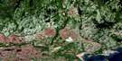
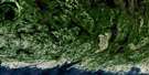
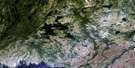
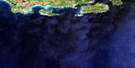
Lac Davy Surrounding Area Aerial Photo Maps
 |
 |
 |
 |
 |
 |
 |
 |
 |
 |
 |
 |
 |
 |
 |
© Department of Natural Resources Canada. All rights reserved.
Lac Davy Gazetteer
The following places can be found on satellite image map 012L15 Lac Davy:
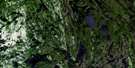
Lac Davy Satellite Image: Lakes
Lac ApvrilLac Auberive
Lac Béland
Lac Blondin
Lac Bochier
Lac Bonnerme
Lac Caché
Lac Claveau
Lac Coumyn
Lac Davy
Lac du Cométique
Lac Faucher
Lac Forgues
Lac François
Lac Gendron
Lac Guénard
Lac Harvey
Lac Jobidon
Lac La Taille
Lac Lebrun
Lac Longley
Lac Marquis
Lac Muriel
Lac Nesmy
Lac Pauline
Lac Pet-a-Shoo
Lac Petashou
Lac Pinet
Lac Plat
Lac Stephenson
Lac Taille
Lac Thibaudeau
Lac Vigneault
Lac Wakeham
Lac Watshishou
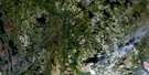
Lac Davy Satellite Image: Rivers
Rivière NabisipiRivière Plate
Rivière Watshishou
© Department of Natural Resources Canada. All rights reserved.
012L Related Maps:
012L Havre-Saint-Pierre012L01 Aguanish
012L03 Baie Des Trilobites
012L04 Havre-St-Pierre
012L05 Lac Du Gros Diable
012L06 Lac A L'Ours
012L07 Baie-Johan-Beetz
012L08 Baie Pashashibou
012L09 Lac Michaud
012L10 Lac De La Robe Noire
012L11 Lac-Allard
012L12 Lac Cugnet
012L13 Lac Jerome
012L14 Lac Sanson
012L15 Lac Davy
012L16 Lac Gaudreault
