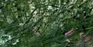
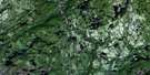
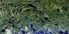
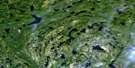
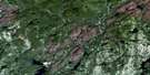
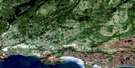
Lac Jerome Satellite Image Map
Download Free Aerial Photo 012L13 at 1:50,000 scale
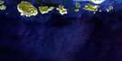
Lac Jerome Satellite Imagery
To view this satellite map, mouse over the air photo on the right.
You can also download this satellite image map for free:
012L13 Lac Jerome high-resolution satellite image map.
Maps for the Lac Jerome aerial map sheet 012L13 at 1:50,000 scale are also available in these versions:
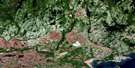
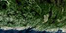
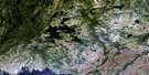
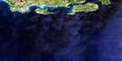
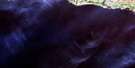
Lac Jerome Surrounding Area Aerial Photo Maps
 |
 |
 |
 |
 |
 |
 |
 |
 |
 |
 |
 |
 |
 |
 |
© Department of Natural Resources Canada. All rights reserved.
Lac Jerome Gazetteer
The following places can be found on satellite image map 012L13 Lac Jerome:
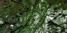
Lac Jerome Satellite Image: Channels
Passe KauapapustehtLac Jerome Satellite Image: Cliffs
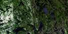
Falaise KaiamehenantLac Jerome Satellite Image: Lakes
Lac AndréLac Charles
Lac Coopman
Lac Dominique
Lac Jean-Pierre
Lac Jérôme
Lac Kanatshekakamat
Lac MacKay
Lac Mitshumukustshiau
Lacs Kaiamehenant
Lacs Memekuauhekau
Petit lac Shiakoshikakamau
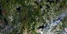
Lac Jerome Satellite Image: Other municipal/district area - miscellaneous
Lac-JérômeLac Jerome Satellite Image: Plains
Plaine Tshium UmahtshekumLac Jerome Satellite Image: Rapids
Rapides Atshen NukutRapides Kakahtshekauh
Rapides Utshimau Apeu Upauhtukum
Lac Jerome Satellite Image: Rivers
Rivière MashkamuRivière Matamek
Rivière Mingan
Rivière Mingan Nord-Ouest
Rivière Saint-Jean Nord-Est
Rivière Uashekamu
Ruisseau Antan
Ruisseau Kakuanat
Lac Jerome Satellite Image: River features
Coude KanatuapiahtLac Jerome Satellite Image: Road features
Portage Kahihtau NatiskahtPortage Kaihuetauakaht
Portage Matamekuh
Lac Jerome Satellite Image: Unincorporated areas
Uhukanatshehu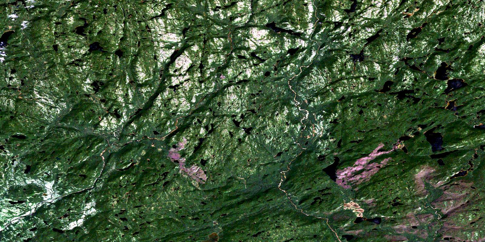
© Department of Natural Resources Canada. All rights reserved.
012L Related Maps:
012L Havre-Saint-Pierre012L01 Aguanish
012L03 Baie Des Trilobites
012L04 Havre-St-Pierre
012L05 Lac Du Gros Diable
012L06 Lac A L'Ours
012L07 Baie-Johan-Beetz
012L08 Baie Pashashibou
012L09 Lac Michaud
012L10 Lac De La Robe Noire
012L11 Lac-Allard
012L12 Lac Cugnet
012L13 Lac Jerome
012L14 Lac Sanson
012L15 Lac Davy
012L16 Lac Gaudreault
