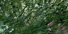
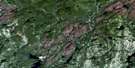
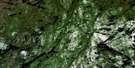
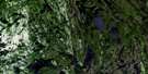
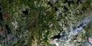
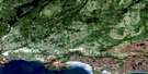
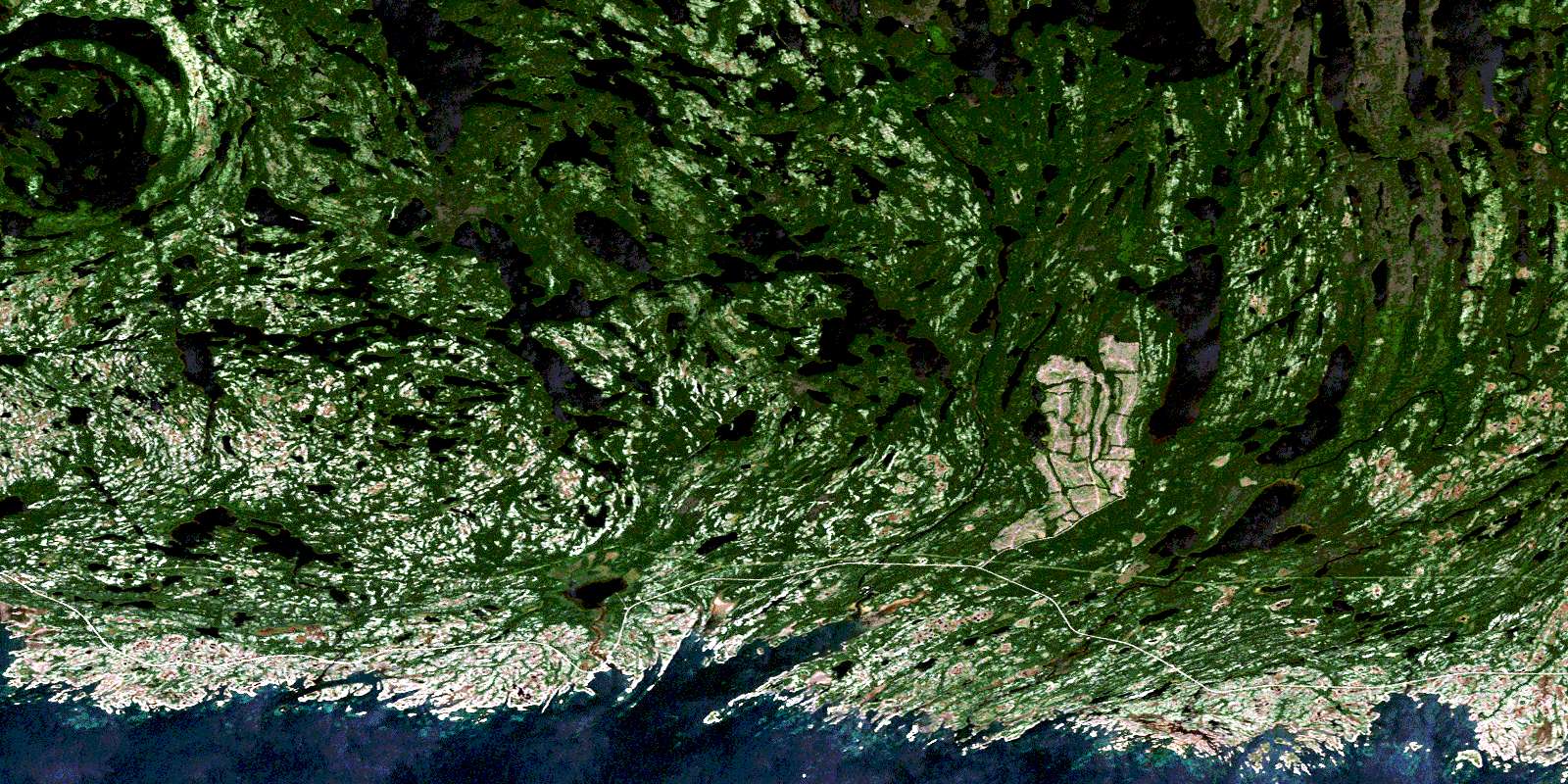
Baie-Johan-Beetz Satellite Image Map
Download Free Aerial Photo 012L07 at 1:50,000 scale
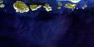
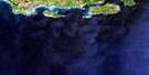
Baie-Johan-Beetz Satellite Imagery
To view this satellite map, mouse over the air photo on the right.
You can also download this satellite image map for free:
012L07 Baie-Johan-Beetz high-resolution satellite image map.
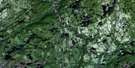
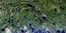
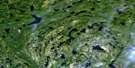
Maps for the Baie-Johan-Beetz aerial map sheet 012L07 at 1:50,000 scale are also available in these versions:
Baie-Johan-Beetz Surrounding Area Aerial Photo Maps
 |
 |
 |
 |
 |
 |
 |
 |
 |
 |
 |
 |
 |
 |
 |
© Department of Natural Resources Canada. All rights reserved.
Baie-Johan-Beetz Gazetteer
The following places can be found on satellite image map 012L07 Baie-Johan-Beetz:
Baie-Johan-Beetz Satellite Image: Bays
Baie AppatitatteBaie de la Grande Hermine
Baie Johan-Beetz
Baie Piashti
Baie Pontbriand
Baie Quetachou
Baie Washatnagunashka
Gaine à Cochon
Gaine à Foin
Gaine à Philippe
Golfe du Saint-Laurent
Havre Watshishou
Baie-Johan-Beetz Satellite Image: Capes
Pointe de la Gaine à FoinPointe de l'Est
Pointe Loizeau
Pointe Tanguay
Baie-Johan-Beetz Satellite Image: Channels
Détroit de Jacques-CartierBaie-Johan-Beetz Satellite Image: Geographical areas
Des HerbiersDrucourt
Johan-Beetz
Baie-Johan-Beetz Satellite Image: Islands
Black RockCaye à Boucher
Éperon de la Pointe Loizeau
Île aux Lièvres
Île Boisée
Île Gull
Île Jaune
Île Longue
Île Puyjalon
Rocher Gull
Rocher Jaune
Rochers Galand
Baie-Johan-Beetz Satellite Image: Lakes
Lac à PierreLac aux Goélands
Lac Bellanger
Lac Croche
Lac de la Cabane Neuve
Lac de la Cabane Plate
Lac Délias
Lac des Îles
Lac Devost
Lac du Milieu
Lac en Travers
Lac Ferland
Lac Hadeln
Lac Huard
Lac Ledoux
Lac Napoléon
Lac Papineau
Lac Piashti
Lac Prudent
Lac Salé
Lac Tanguay
Lac Théobule
Lac Turgeon
Lac Uhu
Lac Véronique
Lac Villeneuve
Lacs de la Cabane Brûlée
Petit lac Piashti
Petit lac Véronique
Baie-Johan-Beetz Satellite Image: Miscellaneous
Belvédère de la Baie-PontbriandBelvédère de la Rivière-de-la-Corneille
Belvédère de la Rivière-Piashti
Saint-François-Régis
Baie-Johan-Beetz Satellite Image: Mountains
Colline SaddleColline Watshishou
Crête White
Baie-Johan-Beetz Satellite Image: Conservation areas
Mingan Archipelago National Park Reserve of CanadaRefuge d'oiseaux de Watshishou
Réserve de parc national du Canada de l'Archipel-de-Mingan
Watshishou Bird Sanctuary
Baie-Johan-Beetz Satellite Image: Rivers
Bras WestPetite rivière Piashti
Petite rivière Watshishou
Rivière de la Corneille
Rivière Grande Baie de Piashtibaie
Rivière Piashti
Rivière Pontbriand
Rivière Quetachou
Rivière Véronique
Rivière Watshishou
Rivière Watshishou Ouest
Ruisseau Kapminau
Baie-Johan-Beetz Satellite Image: Road features
Portage Ahu NipiPortage Kahkamehtakan
Baie-Johan-Beetz Satellite Image: Unincorporated areas
Baie-Johan-BeetzSpar Mica
Baie-Johan-Beetz Satellite Image: Villages
Baie-Johan-BeetzJohan-Beetz
© Department of Natural Resources Canada. All rights reserved.
012L Related Maps:
012L Havre-Saint-Pierre012L01 Aguanish
012L03 Baie Des Trilobites
012L04 Havre-St-Pierre
012L05 Lac Du Gros Diable
012L06 Lac A L'Ours
012L07 Baie-Johan-Beetz
012L08 Baie Pashashibou
012L09 Lac Michaud
012L10 Lac De La Robe Noire
012L11 Lac-Allard
012L12 Lac Cugnet
012L13 Lac Jerome
012L14 Lac Sanson
012L15 Lac Davy
012L16 Lac Gaudreault
