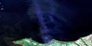
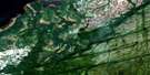
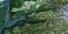
Mulligan Bay Satellite Image Map
Download Free Aerial Photo 013G13 at 1:50,000 scale
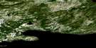
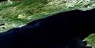
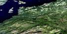
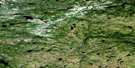
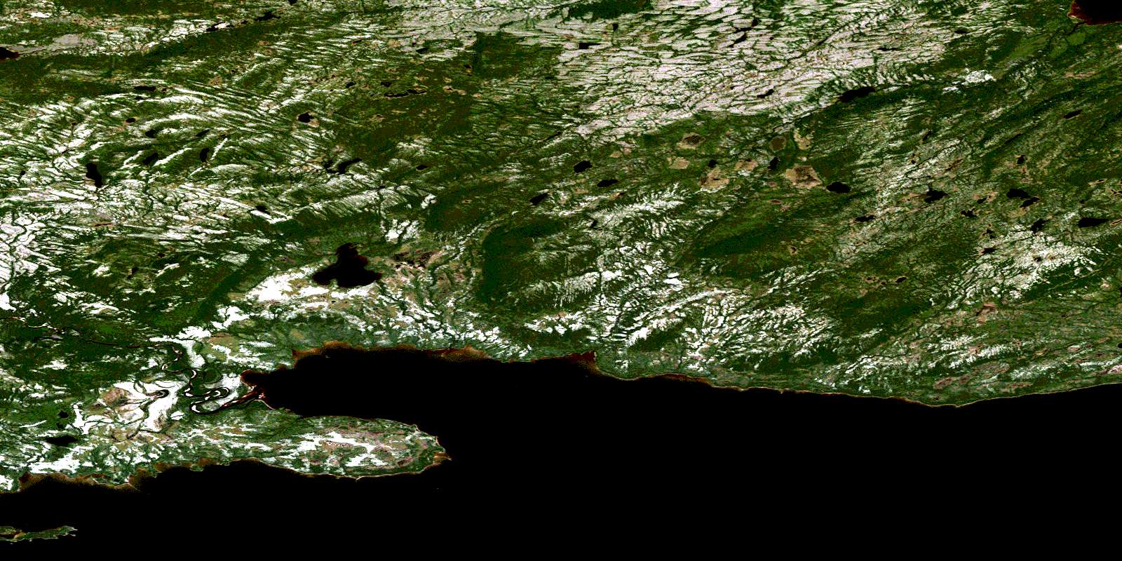
Mulligan Bay Satellite Imagery
To view this satellite map, mouse over the air photo on the right.
You can also download this satellite image map for free:
013G13 Mulligan Bay high-resolution satellite image map.
Maps for the Mulligan Bay aerial map sheet 013G13 at 1:50,000 scale are also available in these versions:
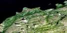
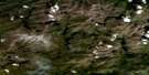
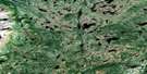
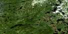
Mulligan Bay Surrounding Area Aerial Photo Maps
 |
 |
 |
 |
 |
 |
 |
 |
 |
 |
 |
 |
 |
 |
 |
 |
© Department of Natural Resources Canada. All rights reserved.
Mulligan Bay Gazetteer
The following places can be found on satellite image map 013G13 Mulligan Bay:
Mulligan Bay Satellite Image: Bays
Acadia AnchorageColeys Arm
Double Mer
Hamilton Inlet
Mulligan Bay
Sebaskachu Bay
Mulligan Bay Satellite Image: Capes
Black PointBurned Point
Nebavik Point
Upper Long Point
Mulligan Bay Satellite Image: Islands
Chevrier IslandLong Island
Pearl Island
Mulligan Bay Satellite Image: Lakes
Lake MelvilleMulligan Bay Satellite Image: Mountains
Mulligan HillsMulligan Bay Satellite Image: Rivers
Coleys BrookMulligan River
Pearl River
Rattling Brook
Mulligan Bay Satellite Image: Shoals
Long Island ShoalsMulligan Rock
Mulligan Shoal
Nebavik Shoals
© Department of Natural Resources Canada. All rights reserved.
013G Related Maps:
013G Lake Melville013G01 No Title
013G02 No Title
013G03 No Title
013G04 Kenamu River
013G05 Kenemich River
013G06 No Title
013G07 No Title
013G08 No Title
013G09 No Title
013G10 Etagaulet River
013G11E Eskimo Paps
013G11W Eskimo Paps
013G12E Epinette Point
013G12W Epinette Point
013G13E Mulligan Bay
013G13W Mulligan Bay
013G14E Etagaulet Point
013G14W Etagaulet Point
013G15E Neveisik Island
013G15W Neveisik Island
013G16E No Title
013G16W No Title
