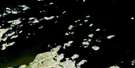
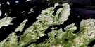
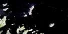
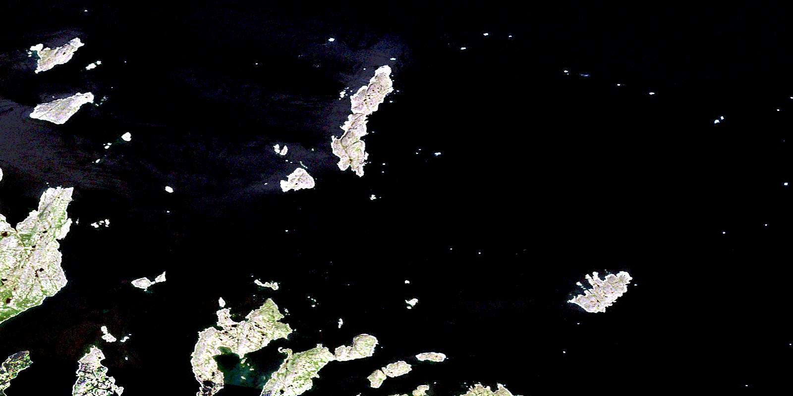
Ironbound Islands Satellite Image Map
Download Free Aerial Photo 013O02 at 1:50,000 scale
Ironbound Islands Satellite Imagery
To view this satellite map, mouse over the air photo on the right.
You can also download this satellite image map for free:
013O02 Ironbound Islands high-resolution satellite image map.
Maps for the Ironbound Islands aerial map sheet 013O02 at 1:50,000 scale are also available in these versions:
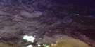
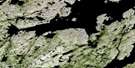
Ironbound Islands Surrounding Area Aerial Photo Maps
 |
 |
||
 |
 |
 |
© Department of Natural Resources Canada. All rights reserved.
Ironbound Islands Gazetteer
The following places can be found on satellite image map 013O02 Ironbound Islands:
Ironbound Islands Satellite Image: Bays
Adlavik HarbourBack Cove
Big Bight
Dunn Harbour
Green Cove
Jerry's Cove
Manak Bay
October Harbour
Papas Cove
Rogers Harbour
Tom's Cove
Trap Cove
Wild Bight
Ironbound Islands Satellite Image: Capes
Black PointBlack Point
Breakheart Point
Cape Kitchener
Franks Point
Gull Battery
Gull Battery
Gull Battery Point
Maloneys Point
Pamiadluk Point
Pomiadluk Point
Saturday Point
Ironbound Islands Satellite Image: Channels
Long TickleIronbound Islands Satellite Image: Islands
Adlavik IslandsBelle Island
Black Bear Island
Black Island
Blandford Island
Coffee Rocks
Dog Islands
Double Island
Duck Islands
Dunn Island
Foxy Islands
Green Island
Ironbound Islands
Kidlialuit Island
Kikkertavak Island
Long Tickle Island
Long Tickle South Island
Manak Island
Morgan's Island
Mortimer Island
Pigeon Island
Pigeon Island
Red Island
Southern Island
Spring Island
Strawberry Island
The File
The Funks
Western Island
Westward Island
Ironbound Islands Satellite Image: Seas
Labrador SeaMer du Labrador
Ironbound Islands Satellite Image: Shoals
Gull RocksMortimer Shoal
The Flats
© Department of Natural Resources Canada. All rights reserved.
