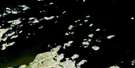
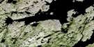
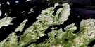
Bay Of Islands Satellite Image Map
Download Free Aerial Photo 013O04 at 1:50,000 scale
Bay Of Islands Satellite Imagery
To view this satellite map, mouse over the air photo on the right.
You can also download this satellite image map for free:
013O04 Bay Of Islands high-resolution satellite image map.
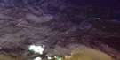
Maps for the Bay Of Islands aerial map sheet 013O04 at 1:50,000 scale are also available in these versions:
Bay Of Islands Surrounding Area Aerial Photo Maps
 |
 |
||
 |
 |
 |
© Department of Natural Resources Canada. All rights reserved.
Bay Of Islands Gazetteer
The following places can be found on satellite image map 013O04 Bay Of Islands:
Bay Of Islands Satellite Image: Bays
Abels HarbourBay of Islands
Belle Aways Cove
Big Cove
Blacklers Bight
Dotter Cove
Drunken Harbour
Iggiuk Bight
Island Harbour
Jims Harbour
Jockos Bight
John Lyalls Place
Julies Harbour
Kaipokok Bay
Kanairiktok Bay
Little Bay
Northwest Bight
Rattlers Bight
Sallys Rattle
Titus Harbour
Bay Of Islands Satellite Image: Capes
Cape O'WarCape Roi
Cape Roi Head
Drunken Harbour Point
Island Harbour Head
Long Point
Old Mans Head
Philips Point
Talasinimavik
Bay Of Islands Satellite Image: Channels
Gull TickleBay Of Islands Satellite Image: Islands
Alkami IslandAntoines Island
Antons Island
Duck Island
Duck Islands
Groovy Island
Lillian Islands
Lily Islands
Susan Island
Bay Of Islands Satellite Image: Lakes
English River PondIsland Harbour Ponds
Long Pond
Saltwater Pond
Trout Pond
Bay Of Islands Satellite Image: Rivers
Alkami BrookLibbys Brook
Trout Brook
Bay Of Islands Satellite Image: Shoals
Tommys RocksBay Of Islands Satellite Image: Unincorporated areas
Kaipokok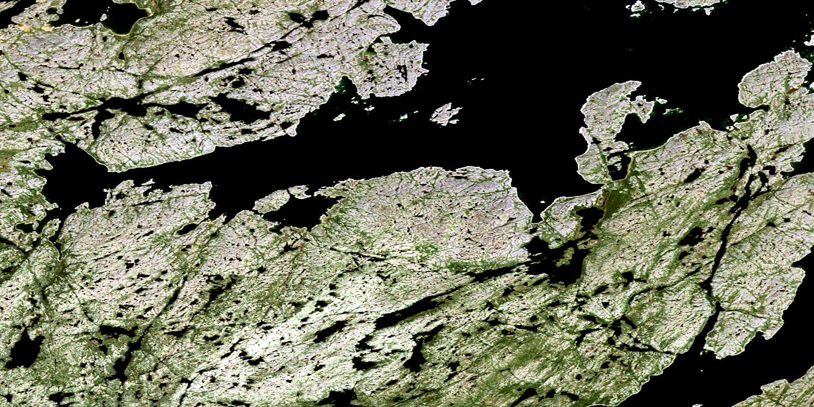
© Department of Natural Resources Canada. All rights reserved.
