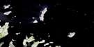
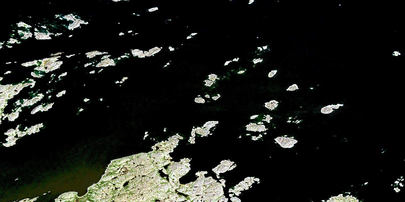
Double Islands Satellite Image Map
Download Free Aerial Photo 013O05 at 1:50,000 scale
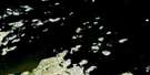
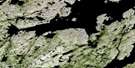
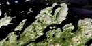
Double Islands Satellite Imagery
To view this satellite map, mouse over the air photo on the right.
You can also download this satellite image map for free:
013O05 Double Islands high-resolution satellite image map.
Maps for the Double Islands aerial map sheet 013O05 at 1:50,000 scale are also available in these versions:
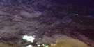
Double Islands Surrounding Area Aerial Photo Maps
 |
 |
||
 |
 |
 |
© Department of Natural Resources Canada. All rights reserved.
Double Islands Gazetteer
The following places can be found on satellite image map 013O05 Double Islands:
Double Islands Satellite Image: Bays
Trap CoveDouble Islands Satellite Image: Capes
HirosalikNiachungoat Head
Tikeratsuk Point
Tikkerarsuksekkinerlik Point
Winsor Point
Double Islands Satellite Image: Channels
Blind Mugford TickleFlagstaff Tickle
Hares Tickle
Hopedale Run
Lillian Island Tickle
Tickle Arichat
Double Islands Satellite Image: Cliffs
Gulch CliffDouble Islands Satellite Image: Islands
Akkellikulluk IslandsAmikojoak Island
Angijokasek Islands
Annaltalik Island
Antoines Island
Antons Island
Arlorkak Island
Assungak Island
Aupaluktak Island
Big Flat Island
Blockstones Island
Brown Islet
Burgomaster Island
Coupling Island
Crab Island
Cross Island
Dark Cap Island
Ditch Island
Dory Islets
Double Islands
Dovekie Island
Dumb Shoal Island
Eastern Kingitok Island
Ephus Island
Fin Island
Fish Islands
Flagstaff Island
Grey Islands
Guide Island
Guillemot Island
Gull Island
Hares Island
Hares Islands
Imnaliksekkineklik Island
Jaralak Island
Kingitok Islands
Kokkorvik Island
Lake Island
Lillian Islands
Lily Islands
Mallet Island
Marykulluk Island
Mussel Islands
Napajotalik Island
Naugatsigarsuk Island
Naulikattarvik Island
North Imnalik Island
Passage Islet
Plant Islands
Red Islands
Rose Island
Roses Island
Saklasuk Islands
Search Island
Sennigardlek Island
Shadow Island
Small Flat Island
Small Gull Island
Snow Island
South Imnalik Island
Spotty Island
Striped Island
Stump Island
Sweethome Island
Tailor Island
The Bosses
The Clusters
The Lillies
Tick Islet
Torartok Island
Two Stones Island
Uigordlek Island
Western Kingitok Island
White Bear Island
White Mark Islands
Winsor Harbour Island
Women Island
Double Islands Satellite Image: Seas
Labrador SeaMer du Labrador
Double Islands Satellite Image: Shoals
Beluga RocksFinback Rock
Nightingale Rock
Pond Rock
Shearwater Shoals
Stake Rock
© Department of Natural Resources Canada. All rights reserved.
