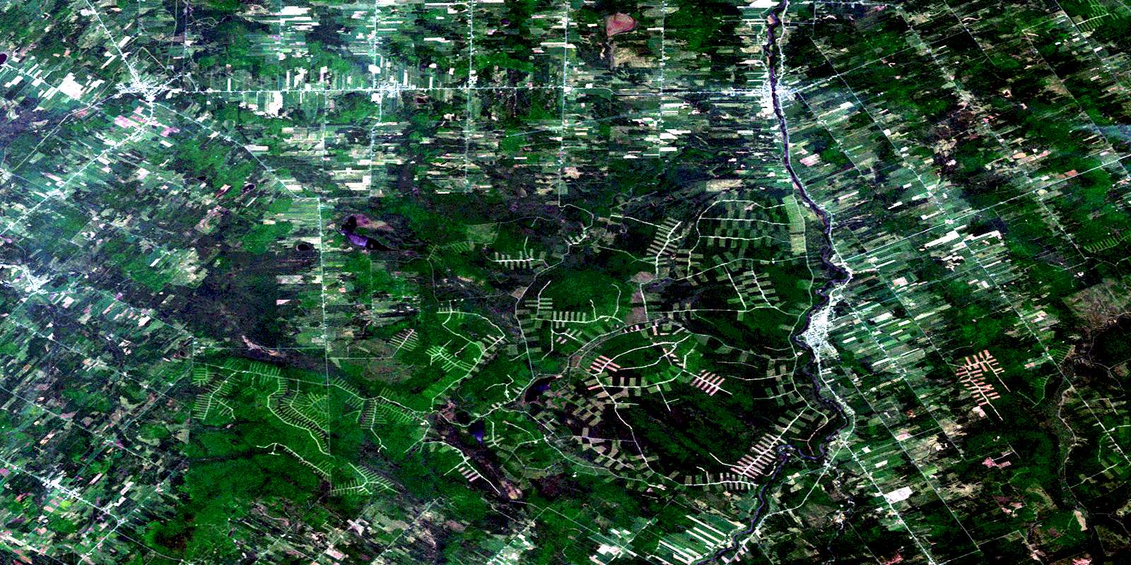
La Guadeloupe Satellite Image Map
Download Free Aerial Photo 021E15 at 1:50,000 scale
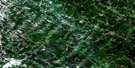
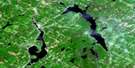
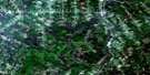
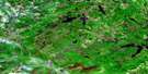
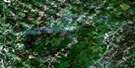
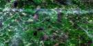
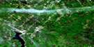
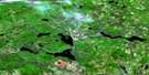
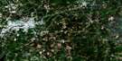
La Guadeloupe Satellite Imagery
To view this satellite map, mouse over the air photo on the right.
You can also download this satellite image map for free:
021E15 La Guadeloupe high-resolution satellite image map.
Maps for the La Guadeloupe aerial map sheet 021E15 at 1:50,000 scale are also available in these versions:
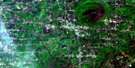
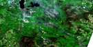
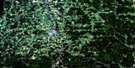
La Guadeloupe Surrounding Area Aerial Photo Maps
 |
 |
 |
 |
 |
 |
 |
 |
 |
 |
 |
|
 |
 |
© Department of Natural Resources Canada. All rights reserved.
La Guadeloupe Gazetteer
The following places can be found on satellite image map 021E15 La Guadeloupe:
La Guadeloupe Satellite Image: Geographical areas
AdstockAylmer
Beauce-Sartigan
Dorset
Forsyth
Gayhurst
Jersey
Marlow
Notre-Dame-de-la-Guadeloupe
Risborough
Sainte-Martine
Saint-Évariste
Saint-Gédéon
Saint-Hilaire-de-Dorset
Saint-Honoré
Saint-Martin
Saint-Sébastien
Shenley
Tring
Whitton
Winslow
La Guadeloupe Satellite Image: Islands
Île des ChampagneLa Grande Île
La Guadeloupe Satellite Image: Lakes
Lac à MarioLac Adolphe-Drouin
Lac aux Grelots
Lac Coudée
Lac de la Beurrerie
Lac de la Grande Coulée
Lac de la Veuve
Lac des Îles
Lac Douglas
Lac Dubord
Lac Elzéar-Parent
Lac Giguère
Lac Leda
Lac Marguerite
Lac Oliveira
Lac Portage
Lac Poulin
Lac Rond
Lac Rond
Lac Thomas
Lac Vaseux
La Guadeloupe Satellite Image: Mountains
Mont Saint-SébastienMorne de Saint-Sébastien
La Guadeloupe Satellite Image: Major municipal/district area - major agglomerations
Beauce-SartiganLa Guadeloupe Satellite Image: Other municipal/district area - miscellaneous
Circonscription électorale de Beauce-SudLac-du-Portage
La Guadeloupe Satellite Image: Rivers
Bras Saint-VictorDécharge du Dix
Décharge du Lac des Îles
Décharge du Village
Le Petit Shenley
Petit ruisseau Caouette
Petite rivière à la Truite
Rivière à la Truite
Rivière aux Bleuets
Rivière aux Bleuets Sud
Rivière aux Bluets
Rivière aux Bluets Sud
Rivière Blueberry
Rivière Chaudière
Rivière de la Grande Coudée
Rivière de la Grande Coulée
Rivière des Vases
Rivière du Loup
Rivière du Moulin
Rivière du Petit Portage
Rivière Eugénie
Rivière Linière
Rivière Ludgine
Rivière McTavish
Rivière Pozer
Rivière Samson
Rivière Shenley
Rivière Tierney
Rivière Toinon
Ruisseau à Édouard-Nadeau
Ruisseau à Nipit-Mercier
Ruisseau à Plante
Ruisseau à Ti-Georges
Ruisseau à Vidal-Morin
Ruisseau Beaudoin
Ruisseau Bédet-Busque
Ruisseau Bernard
Ruisseau Blais
Ruisseau Boucher
Ruisseau Boutin
Ruisseau Caouette
Ruisseau Castonguay
Ruisseau Champagne
Ruisseau de la Coop
Ruisseau de la Muette
Ruisseau des Bernard
Ruisseau des Cèdres
Ruisseau Drouin
Ruisseau du Diable
Ruisseau du Grand Sault
Ruisseau du Neuf
Ruisseau du Troisième Rang
Ruisseau Dutil
Ruisseau Émile-Patry
Ruisseau Foley
Ruisseau Fontaine
Ruisseau Fortier
Ruisseau Fortin
Ruisseau Gilbert
Ruisseau Gosselin
Ruisseau Grand Caouette
Ruisseau Grondin
Ruisseau Jacques
Ruisseau Jos-Cliche
Ruisseau Létourneau
Ruisseau Loubier
Ruisseau Morin
Ruisseau Morin
Ruisseau Morin
Ruisseau Poulin
Ruisseau Poulin
Ruisseau Rancourt
Ruisseau Rochette
Ruisseau Roy
Ruisseau Stafford
Ruisseau Talbot
Ruisseau Tanguay
Ruisseau Thibodeau
Ruisseau Vaseux
Ruisseau Vigneault
La Guadeloupe Satellite Image: River features
Les FourchesLa Guadeloupe Satellite Image: Road features
Pont BretonPont de Daigneault
Pont de la Carpe
Pont du Diable
La Guadeloupe Satellite Image: Towns
La GuadeloupeLinière
La Guadeloupe Satellite Image: Unincorporated areas
BélandBellarmin
Bolduc
Courcelles
Daigneault
La Guadeloupe
Saint-Éphrem-de-Beauce
Saint-Évariste
Saint-Évariste-de-Forsyth
Saint-Gédéon-de-Beauce
Saint-Honoré
Saint-Martin
Saint-Sébastien-de-Frontenac
Saint-Sébastien-Station
La Guadeloupe Satellite Image: Low vegetation
Le MaraisPlée du Lac
La Guadeloupe Satellite Image: Villages
CourcellesLac-Drolet
Lambton
Saint-Côme-de-Kennebec
Saint-Côme--Linière
Sainte-Cécile-de-Whitton
Saint-Évariste-de-Forsyth
Saint-Gédéon
Saint-Gédéon-de-Beauce
Saint-Hilaire-de-Dorset
Saint-Honoré
Saint-Honoré-de-Shenley
Saint-Jean-de-la-Lande
Saint-Martin
Saint-René
Saint-Robert-Bellarmin
Saint-Romain
Saint-Sébastien
Saint-Théophile
Saint-Théophile-de-la-Beauce
Shenley
© Department of Natural Resources Canada. All rights reserved.
