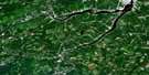
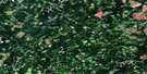
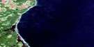
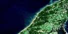
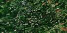
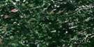
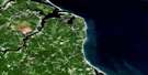
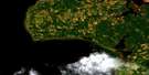
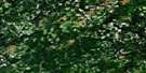
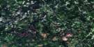
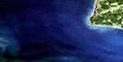
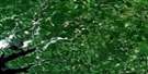
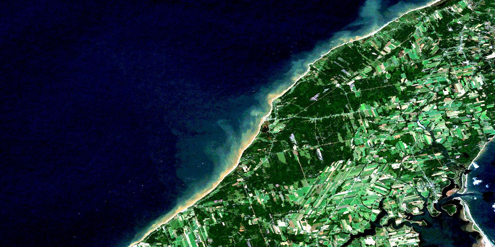
Tignish Satellite Image Map
Download Free Aerial Photo 021I16 at 1:50,000 scale
Tignish Satellite Imagery
To view this satellite map, mouse over the air photo on the right.
You can also download this satellite image map for free:
021I16 Tignish high-resolution satellite image map.
Maps for the Tignish aerial map sheet 021I16 at 1:50,000 scale are also available in these versions:
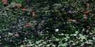
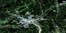
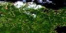
Tignish Surrounding Area Aerial Photo Maps
 |
 |
 |
 |
 |
 |
 |
 |
 |
 |
 |
 |
 |
 |
 |
 |
© Department of Natural Resources Canada. All rights reserved.
Tignish Gazetteer
The following places can be found on satellite image map 021I16 Tignish:
Tignish Satellite Image: Bays
Alberton CreekAlberton Harbour
Ashleys Creek
Cascumpec Bay
Cascumpeque Bay
Cascumpeque Harbour
Dock Creek
Dock Creek
Fortune Cove
Golfe du Saint-Laurent
Goose Harbour
Gulf of St. Lawrence
Miminegash Harbour
Tignish Harbour
Whites Cove
Wrights Cove
Tignish Satellite Image: Capes
Bury HeadCape Gage
Cascumpeque Point
Creek Point
Fox Point
Green Point
Hill Point
Horse Head
Judes Point
Keefes Point
Kildare Point
Nail Head
Tignish Satellite Image: Channels
Détroit de NorthumberlandMiminegash Run
Northumberland Strait
The Gap
Tignish Satellite Image: Geographical areas
Lot 1Lot 2
Lot 3
Lot 4
Lot 5
Lot 7
Prince
Tignish Satellite Image: Islands
Elizabeth IslandFox Island
Oultons Island
Pitt Island
Prince Edward Island
Ram Island
Sandy Island
Savage Island
Tignish Satellite Image: Lakes
Arsenaults PondArsenaults Pond
Black Pond
Blanchards Pond
Doyles Pond
Foleys Pond
Frog Pond
Gordons Pond
Johnstons Pond
Little Miminegash Pond
MacAuslands Pond
Marchbanks Pond
Miminegash Pond
Nail Pond
Rayners Pond
Rix Pond
Skinner Pond
Skinners Pond
Tignish Satellite Image: Mountains
Cascumpec Sand HillsTignish Satellite Image: Conservation areas
Jacques Cartier Provincial ParkMill River Provincial Park
Tignish Satellite Image: Provinces
Île-du-Prince-ÉdouardPrince Edward Island
Tignish Satellite Image: Rivers
Bain CreekBains Creek
Black Pond Brook
Cains Brook
Campbells Creek
Daltons Brook
Dock River
Dock River
Harpers Brook
Hill River
Hills River
Huntley River
Kildare Creek
Kildare River
Little Tignish River
Long Creek
Meggisons Creek
Mill River
Miminegash River
Montrose River
Peters Creek
Petes Creek
Pig Brook
Tignish River
West Lake Creek
Tignish Satellite Image: Road features
Doyles BridgeGetson Bridge
Tignish Satellite Image: Shoals
Miminegash ReefTignish Satellite Image: Towns
AlbertonTignish Satellite Image: Unincorporated areas
Alberton SouthAlma
Ascension
Bloomfield
Bloomfield Corner
Bloomfield Station
Bloomfield Station
Brockton
Brooklyn
Burton
Campbellton
Cascumpec
Cascumpeque
Central Kildare
Christopher Cross
De Blois
DeBlois
Dock Corner
Ebbsfleet
Elmsdale
Fortune Cove
Glengarry
Greenmount
Harper
Harpers
Huntley
Judes Point
Kildare
Lauretta
Leoville
Lot 6
Mill River East
Miminegash
Montrose
Nail Pond
Northport
Norway
Norway
O'Brien Road
Palmer Road
Peterville
Piusville
Pleasant View
Profits Corner
Rosebank
Roseville
Skinner Pond
Skinners Pond
South Kildare
St. Edward
St. Felix
St. Lawrence
St. Peter and St. Paul
St. Roch
Tignish
Tignish Corner
Waterford
Woodvale
Tignish Satellite Image: Villages
Greenmount-MontroseMiminegash
Nail Pond
Northport
St. Felix
St. Louis
Tignish
Tignish Shore
© Department of Natural Resources Canada. All rights reserved.
021I Related Maps:
021I Moncton021I01 Port Elgin
021I02 Moncton
021I03 Salisbury
021I04 Chipman
021I05 Salmon River Road
021I06 Harcourt
021I07 Buctouche
021I08 Cape Egmont
021I09 O'Leary
021I10 Richibucto
021I11 Rogersville
021I12 Blackville
021I13 Newcastle
021I14 Kouchibouguac
021I15 Pointe-Sapin
021I16 Tignish
