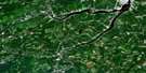
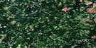
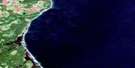
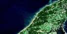
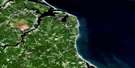
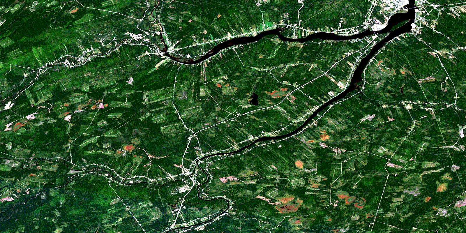
Newcastle Satellite Image Map
Download Free Aerial Photo 021I13 at 1:50,000 scale
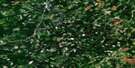
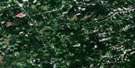
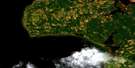
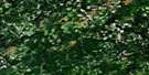
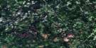
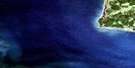
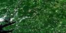
Newcastle Satellite Imagery
To view this satellite map, mouse over the air photo on the right.
You can also download this satellite image map for free:
021I13 Newcastle high-resolution satellite image map.
Maps for the Newcastle aerial map sheet 021I13 at 1:50,000 scale are also available in these versions:
Newcastle Surrounding Area Aerial Photo Maps
 |
 |
 |
 |
 |
 |
 |
 |
 |
 |
 |
 |
 |
 |
 |
 |
© Department of Natural Resources Canada. All rights reserved.
Newcastle Gazetteer
The following places can be found on satellite image map 021I13 Newcastle:
Newcastle Satellite Image: Bays
Blacks CoveFlett Cove
Jones Cove
McKay Cove
Mullins Cove
Oxford Cove
Shillelagh Cove
Newcastle Satellite Image: Capes
Beaubears PointBeaubears Point
Boom Point
Gaspereau Point
Goodfellows Point
Schultz Point
Shultz Point
Strawberry Point
Wilsons Point
Newcastle Satellite Image: Channels
Hawgee CreekIndiantown Creek
Newcastle Satellite Image: City
MiramichiNewcastle Satellite Image: Geographical areas
BlackvilleBlissfield
Chatham
Derby
Glenelg
Nelson
Newcastle
Northesk
Northumberland
Rogersville
Southesk
Newcastle Satellite Image: Indian Reserves
Eel Ground 2Indian Point 1
Red Bank 4
Red Bank 7
Renous 12
Newcastle Satellite Image: Islands
Barnaby IslandBeaubears Island
Exmoor Island
Gibbons Island
Indian Island
Johnsons Island
Little Indian Island
McHughs Island
Mitchells Islands
Patsys Island
Tozers Island
Newcastle Satellite Image: Lakes
Crocker LakeSmiths Lake
Newcastle Satellite Image: Conservation areas
Augustine MoundBeaubears Island Shipbuilding National Historic Site of Canada
Boishébert National Historic Site of Canada
Camp de l'Espérance
Lieu historique national du Canada Boishébert
Lieu historique national du Canada de la Construction-Navale-à-l'Île-Beaubears
Lieu Oxbow
Oxbow Site
The Enclosure
The Enclosure Provincial Park
Tumulus Augustine
Newcastle Satellite Image: Rapids
Black RapidsNewcastle Satellite Image: Rivers
Appleby BrookBarnaby River
Buttys Brook
Carding Mill Brook
Castor Brook
Crown Point Brook
Curtis Brook
Cushman Brook
Doyles Brook
Dungarvon River
Elmtree Brook
Gillice Brook
Gooseberry Meadow Brook
Gray Rapids Brook
Hackett Brook
Harris Brook
Hellcat Brook
Indiantown Brook
Indiantown Brook
Jam Brook
Jardine Brook
Jardine Brook
Johnstone Brook
Lake Brook
Lake Brook
Little Castor Brook
Little Millstream
Little Semiwagan Brook
Little Sevogle River
Little Southwest Miramichi River
Main Southwest Miramichi River
McDonald Brook
McKay Brook
McKendrick Brook
McKenzie Brook
McNeal Brook
McNeal Brook
Meadow Brook
Meadow Brook
Middle Barnaby River
Middle Branch Barnaby River
Mill Brook
Mill Stream
Miramichi River
North Branch Indiantown Brook
North Branch McNeal Brook
North Indiantown Brook
Northwest Millstream
Northwest Miramichi River
Oxford Brook
Pine Island Brook
Renous River
Reserve Brook
Reserve Brook
Right Hand Branch Barnaby River
Saunders Brook
Semiwagan River
Semiwagan Stream
South Branch McNeal Brook
Southwest Miramichi River
Spring Brook
Stewart Brook
Sutherland Brook
Walsh Brook
West Branch Indiantown Brook
West Indiantown Brook
White Rapids Brook
Wild Cat Brook
Wildcat Brook
Wilson Brook
Newcastle Satellite Image: River features
Blackmore BoganCastor Bogan
Johnsons Bogan
Johnstones Bogan
Semiwagan Deadwater
The Oxbow
Newcastle Satellite Image: Unincorporated areas
AmosBarnaby River
Barnett
Barnettville
Boom Road
Bryenton
Cassilis
Chatham Head
Chelmsford
Coughlan
Craigville
Derby
Derby Junction
Douglasfield
Doyles Brook
Eel Ground
Elmtree
Exmoor
Flat Landing
Garden Road
Grainfield
Gray Rapids
Halcomb
Harris Brook Settlement
Hughes
Indian Gardens
Ivory Road
Jones Crossing
Kirkwood
Lockstead
Lower Barnaby
Lower Barnaby River
Lower Derby
Lyttleton
Manderville
Matthews
Matthews Settlement
McCann
McKinleyville
Millerton
Nelson
Nelson Junction
Nelson-Miramichi
Newcastle
North Esk Boom
North Renous
North West Bridge
Northwest Bridge
Nowlanville
Park
Parker
Passmore
Pineville
Quarryville
Red Bank
Renous
Reynolds
Semiwagan Ridge
Sillikers
Smiths Crossing
South Esk
South Nelson Road
South Renous
Strathadam
Sunny Corner
Underhill
Upper Barnaby
Upper Derby
Upper Nelson
Warwick Settlement
West Collette
White Rapids
Whitney
Williamstown
Newcastle Satellite Image: Low vegetation
Big PlainIndian Marsh
Semiwagan Meadows
Strawberry Marsh
Newcastle Satellite Image: Villages
BarnabySouth Nelson
© Department of Natural Resources Canada. All rights reserved.
021I Related Maps:
021I Moncton021I01 Port Elgin
021I02 Moncton
021I03 Salisbury
021I04 Chipman
021I05 Salmon River Road
021I06 Harcourt
021I07 Buctouche
021I08 Cape Egmont
021I09 O'Leary
021I10 Richibucto
021I11 Rogersville
021I12 Blackville
021I13 Newcastle
021I14 Kouchibouguac
021I15 Pointe-Sapin
021I16 Tignish
