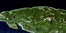
Riviere Aux Becs-Scie Satellite Image Map
Download Free Aerial Photo 022H09 at 1:50,000 scale
Riviere Aux Becs-Scie Satellite Imagery
To view this satellite map, mouse over the air photo on the right.
You can also download this satellite image map for free:
022H09 Riviere Aux Becs-Scie high-resolution satellite image map.
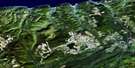
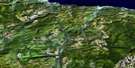
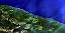
Maps for the Riviere Aux Becs-Scie aerial map sheet 022H09 at 1:50,000 scale are also available in these versions:
Riviere Aux Becs-Scie Surrounding Area Aerial Photo Maps
 |
|||
 |
|||
 |
 |
 |
 |
© Department of Natural Resources Canada. All rights reserved.
Riviere Aux Becs-Scie Gazetteer
The following places can be found on satellite image map 022H09 Riviere Aux Becs-Scie:
Riviere Aux Becs-Scie Satellite Image: Bays
Anse à ChabotBaie des Sarcelles
Riviere Aux Becs-Scie Satellite Image: Miscellaneous campsites
Bec-ScieBecs-Scie
Riviere Aux Becs-Scie Satellite Image: Capes
Cap à la CraieCap à la Crêpe
Côte de la Grande Traversée
Côte des Lagunes
Pointe à Chabot
Pointe aux Blocs Erratiques
Pointe aux Foins
Pointe aux Pimbinas
Pointe des Algues
Pointe des Flèches Littorales
Pointe des Vasques
Pointe du Coco
Pointe du Mort
Pointe du Synclinal
Riviere Aux Becs-Scie Satellite Image: Channels
Détroit d'HonguedoPassage Gaspé
Riviere Aux Becs-Scie Satellite Image: Lakes
Lac ColasLacs de la Pointe aux Graines
Riviere Aux Becs-Scie Satellite Image: Rivers
La Petite RivièreRivière aux Becs-Scie
Rivière aux Graines
Rivière Bec-Scie
Ruisseau de la Plaine
Riviere Aux Becs-Scie Satellite Image: Low vegetation
La Plaine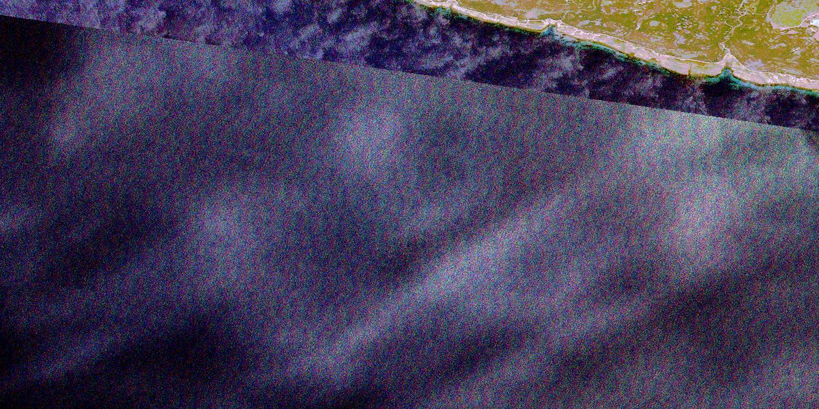
© Department of Natural Resources Canada. All rights reserved.
