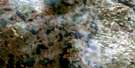
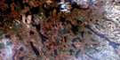
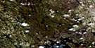
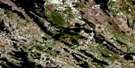
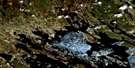
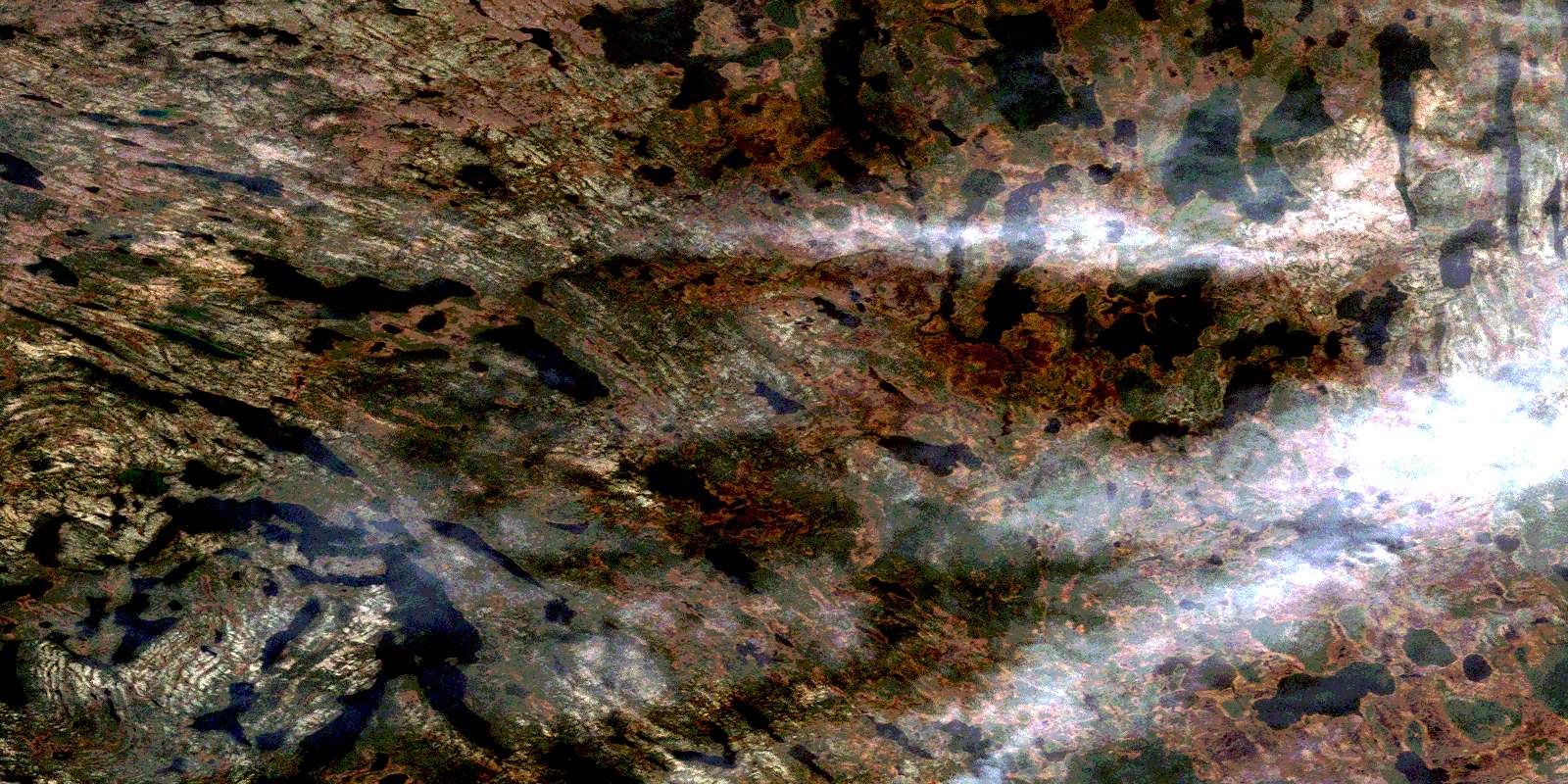
Marion Lake Satellite Image Map
Download Free Aerial Photo 023I13 at 1:50,000 scale
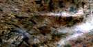
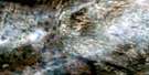
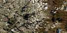
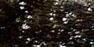
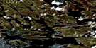
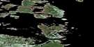
Marion Lake Satellite Imagery
To view this satellite map, mouse over the air photo on the right.
You can also download this satellite image map for free:
023I13 Marion Lake high-resolution satellite image map.
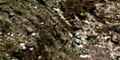
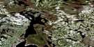
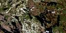
Maps for the Marion Lake aerial map sheet 023I13 at 1:50,000 scale are also available in these versions:
Marion Lake Surrounding Area Aerial Photo Maps
 |
 |
 |
 |
 |
 |
 |
 |
 |
 |
 |
 |
 |
 |
 |
 |
© Department of Natural Resources Canada. All rights reserved.
Marion Lake Gazetteer
The following places can be found on satellite image map 023I13 Marion Lake:
Marion Lake Satellite Image: Lakes
Gauthier LakeKeco Lake
Lac Alonce
Lac Arjay
Lac Bonnet
Lac Bonnivet
Lac Buzançois
Lac Chabot
Lac Charny
Lac Civille
Lac Dauphine
Lac Godefroy
Lac Gouffier
Lac Indian
Lac Jallaut
Lac La Rouvillière
Lac La Touche
Lac Le Gras
Lac Le Maire
Lac Marion
Lac Prud'homme
Lac Roymart
Lac Rucelai
Lac Ryan
Lac Tantouin
Lac Verrazano
Lac Villebois
Lac Villedonné
Lean Lake
Link Lake
Marion Lake
Moss Lake
Mountain Lake
© Department of Natural Resources Canada. All rights reserved.
023I Related Maps:
023I Woods Lake023I01 No Title
023I02 No Title
023I03 No Title
023I04 Timmins Lake
023I05 Wade Lake
023I06 No Title
023I07 No Title
023I08 Petscapiskau Hill
023I09 Signal Hill
023I10 No Title
023I11 No Title
023I12E Andre Lake
023I12W Andre Lake
023I13E Marion Lake
023I13W Marion Lake
023I14 Lac Potel
023I15 Lac Bonaventure
023I16 Lac La Pinaudiere
