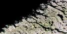
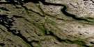
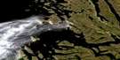
Ryans Bay Satellite Image Map
Download Free Aerial Photo 024P09 at 1:50,000 scale
Ryans Bay Satellite Imagery
To view this satellite map, mouse over the air photo on the right.
You can also download this satellite image map for free:
024P09 Ryans Bay high-resolution satellite image map.
Maps for the Ryans Bay aerial map sheet 024P09 at 1:50,000 scale are also available in these versions:
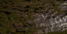
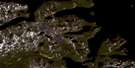
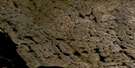
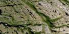
Ryans Bay Surrounding Area Aerial Photo Maps
 |
 |
 |
|
 |
 |
 |
|
 |
 |
 |
 |
 |
 |
 |
 |
© Department of Natural Resources Canada. All rights reserved.
Ryans Bay Gazetteer
The following places can be found on satellite image map 024P09 Ryans Bay:
Ryans Bay Satellite Image: Bays
Maddon CoveRyans Bay
Ryans Bay Satellite Image: Capes
Atkins PointGoodfellow Peninsula
Miller Peninsula
Ryans Bay Satellite Image: Channels
Eclipse ChannelRyans Bay Satellite Image: Glaciers
Thomas Brown GlacierRyans Bay Satellite Image: Islands
North Aulatsivik IslandRyans Bay Satellite Image: Lakes
Crystal TarnsHalfbowl Tarn
Lake Blandford
Lake Coghlan
Lake Downer
Teapot Lake
Wade Tarn
Ryans Bay Satellite Image: Mountains
Monts TorngatMount Ford
O'Brien Range
Shittamat Peak
The Horns
Torngat Mountains
Torugak Mountains
Ryans Bay Satellite Image: Rivers
McLean RiverPerkins River
Ryans Bay Satellite Image: Valleys
Bryant Pass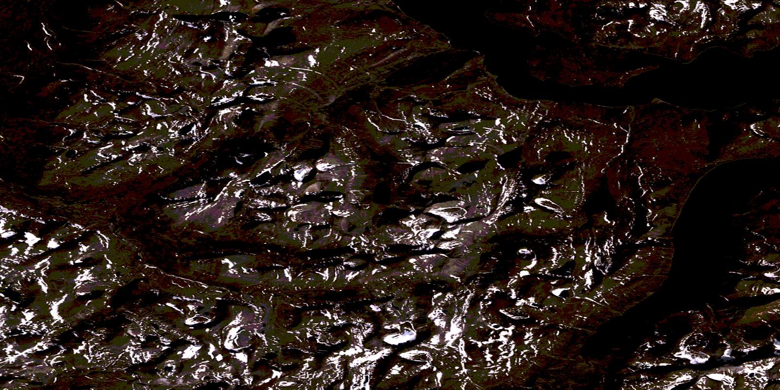
© Department of Natural Resources Canada. All rights reserved.
024P Related Maps:
024P Pointe Le Droit024P01 Komaktorvik Lakes
024P02 Lac Malchelosse
024P03 Riviere Abrat
024P04 Keglo Bay
024P05 Cap Kattaktoc
024P06 Abloviak Fiord
024P07 Mont Jacques-Rousseau
024P08 Tower Mountain
024P09 Ryans Bay
024P10 Lac De Loriere
024P11 Riviere Lepers
024P14 Bell Inlet
024P15 Lac Baret
024P16 Eclipse Harbour
