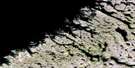
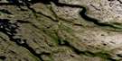
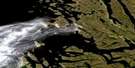
Bell Inlet Satellite Image Map
Download Free Aerial Photo 024P14 at 1:50,000 scale
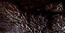
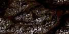
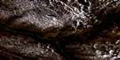
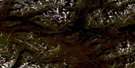
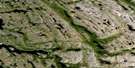
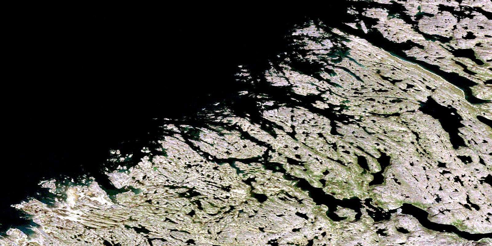
Bell Inlet Satellite Imagery
To view this satellite map, mouse over the air photo on the right.
You can also download this satellite image map for free:
024P14 Bell Inlet high-resolution satellite image map.
Maps for the Bell Inlet aerial map sheet 024P14 at 1:50,000 scale are also available in these versions:
Bell Inlet Surrounding Area Aerial Photo Maps
 |
 |
 |
|
 |
 |
 |
|
 |
 |
 |
 |
 |
 |
 |
 |
© Department of Natural Resources Canada. All rights reserved.
Bell Inlet Gazetteer
The following places can be found on satellite image map 024P14 Bell Inlet:
Bell Inlet Satellite Image: Bays
Anse BellAnse Cox
Anse Langley
Anse Low
Baie d'Ungava
Baie d'Ungava
Bell Inlet
Bray Inlet
Bray Inlet
Cox Inlet
Igalulikuluk Inlet
Kisarvikuluk Anchorage
Langley Inlet
Low Inlet
Tasiujaaluk Bay
Ungava Bay
Bell Inlet Satellite Image: Islands
Ippigittuup Qikirtaalugiik IslandsNatsituuq Islands
Bell Inlet Satellite Image: Lakes
Lac EdwardLac Sheppard
Bell Inlet Satellite Image: Mountains
Dunes IppigittuqBell Inlet Satellite Image: Rivers
Rivière BaretRivière Degesne
Rivière Lepers
© Department of Natural Resources Canada. All rights reserved.
024P Related Maps:
024P Pointe Le Droit024P01 Komaktorvik Lakes
024P02 Lac Malchelosse
024P03 Riviere Abrat
024P04 Keglo Bay
024P05 Cap Kattaktoc
024P06 Abloviak Fiord
024P07 Mont Jacques-Rousseau
024P08 Tower Mountain
024P09 Ryans Bay
024P10 Lac De Loriere
024P11 Riviere Lepers
024P14 Bell Inlet
024P15 Lac Baret
024P16 Eclipse Harbour
