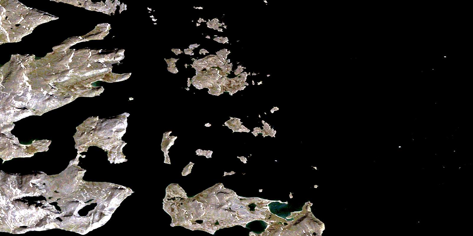
Home Island Satellite Image Map
Download Free Aerial Photo 025A01 at 1:50,000 scale
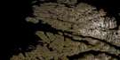
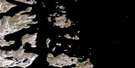
Home Island Satellite Imagery
To view this satellite map, mouse over the air photo on the right.
You can also download this satellite image map for free:
025A01 Home Island high-resolution satellite image map.
Maps for the Home Island aerial map sheet 025A01 at 1:50,000 scale are also available in these versions:
Home Island Surrounding Area Aerial Photo Maps
 |
|||
 |
 |
||
 |
 |
 |
© Department of Natural Resources Canada. All rights reserved.
Home Island Gazetteer
The following places can be found on satellite image map 025A01 Home Island:
Home Island Satellite Image: Bays
Ekortiarsuk FiordIkkudliayuk Fiord
Iselin Harbour
Joksut Inlet
Jolliet Inlet
Martin Bay
Shoal Bay
Shungmiyuk Inlet
Telliaosilk Fiord
Tunnissugjuak Inlet
Williams Harbour
Home Island Satellite Image: Capes
AttinaukjukeBeck Point
Black Rock Point
Bourgin Point
Cape Labrador
Gordon Point
Hutton Peninsula
Rowland Point
Tait Point
Home Island Satellite Image: Islands
Amity IslandAvayalik Islands
Duck Islands
Gosling Island
Home Island
Kmoch Island
Kohlmeister Island
Landsat Island
Miguel Islands
Mikak Island
Nimbus Island
Oo-olilik Island
Pomiuk Island
Staffe Island
Home Island Satellite Image: Mountains
Ikordlearsuk MountainMount Williams
Torngat Mountains
Torugak Mountains
© Department of Natural Resources Canada. All rights reserved.
