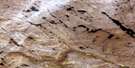
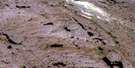
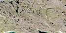
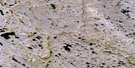
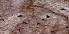
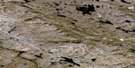
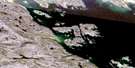
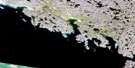
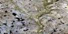
Eggleston Bay Satellite Image Map
Download Free Aerial Photo 025N01 at 1:50,000 scale
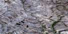
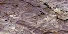
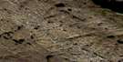
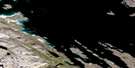
Eggleston Bay Satellite Imagery
To view this satellite map, mouse over the air photo on the right.
You can also download this satellite image map for free:
025N01 Eggleston Bay high-resolution satellite image map.
Maps for the Eggleston Bay aerial map sheet 025N01 at 1:50,000 scale are also available in these versions:
Eggleston Bay Surrounding Area Aerial Photo Maps
 |
 |
 |
 |
 |
 |
 |
 |
 |
 |
 |
 |
 |
 |
 |
 |
© Department of Natural Resources Canada. All rights reserved.
Eggleston Bay Gazetteer
The following places can be found on satellite image map 025N01 Eggleston Bay:
Eggleston Bay Satellite Image: Bays
Eggleston BayFalse Haven
Frobisher Bay
Hidden Bay
Eggleston Bay Satellite Image: Capes
Beluga PointFarbusher Point
Hare Point
Meta Incognita Peninsula
Montcalm Point
Pugh Point
Staith Point
Eggleston Bay Satellite Image: Channels
Cincinnati Press ChannelPike-Resor Channel
Whiskukun Channel
Eggleston Bay Satellite Image: Islands
Pike IslandPugh Island
Resor Island
Whiskukun Island
Eggleston Bay Satellite Image: Mountains
Beacon Hill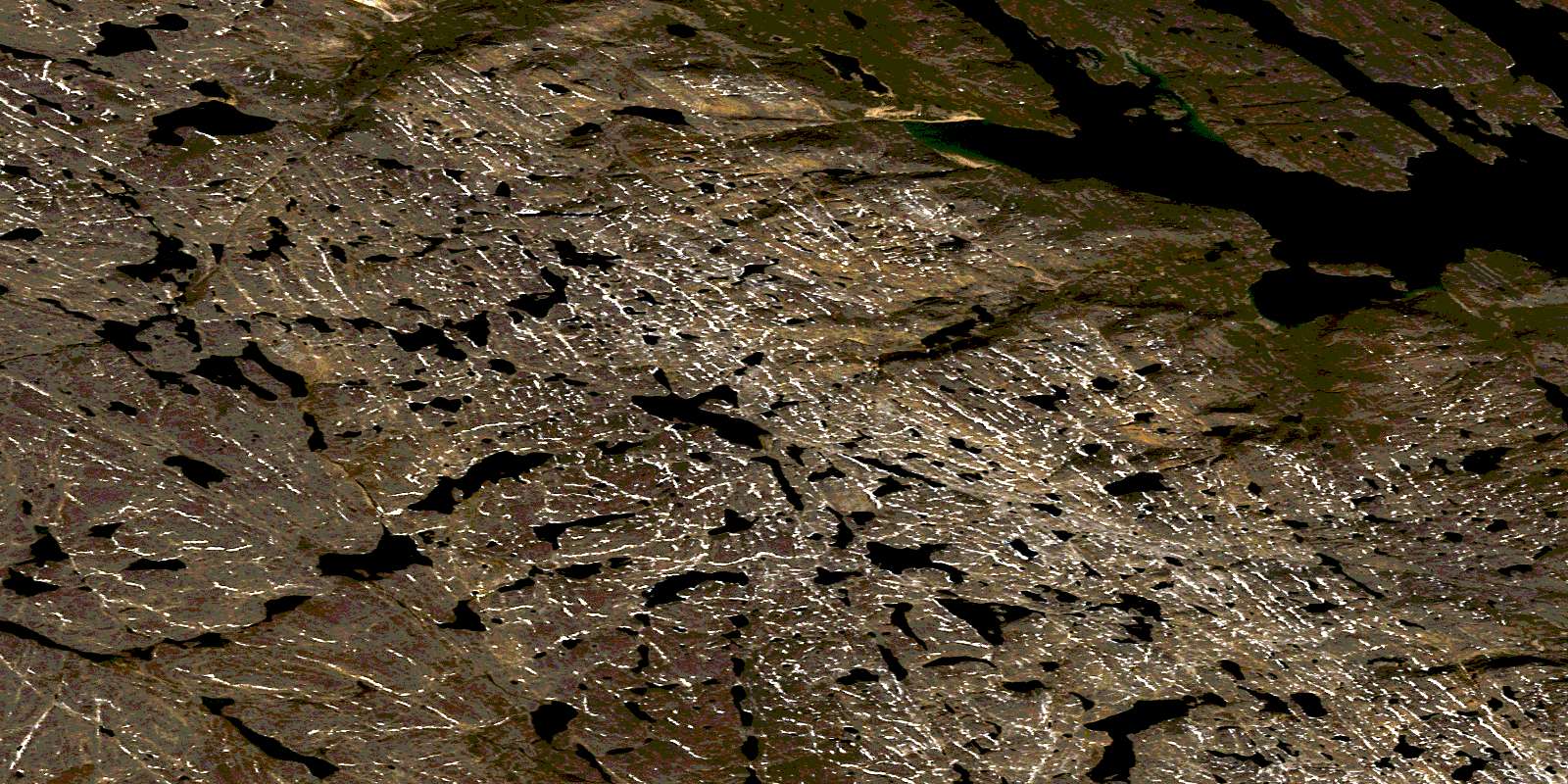
© Department of Natural Resources Canada. All rights reserved.
025N Related Maps:
025N Armshow River025N01 Eggleston Bay
025N02 No Title
025N03 No Title
025N04 Mount Moore
025N05 Mount Joy
025N06 No Title
025N07 No Title
025N08 No Title
025N09 Burton Bay
025N10 Hill Island
025N11 Kynersley Lake
025N12 No Title
025N13 No Title
025N14 Jordan River
025N15 Iqaluit
025N16 No Title
