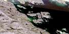
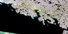
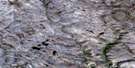
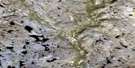
Hill Island Satellite Image Map
Download Free Aerial Photo 025N10 at 1:50,000 scale
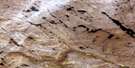
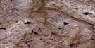
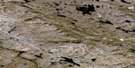
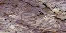
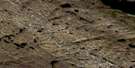
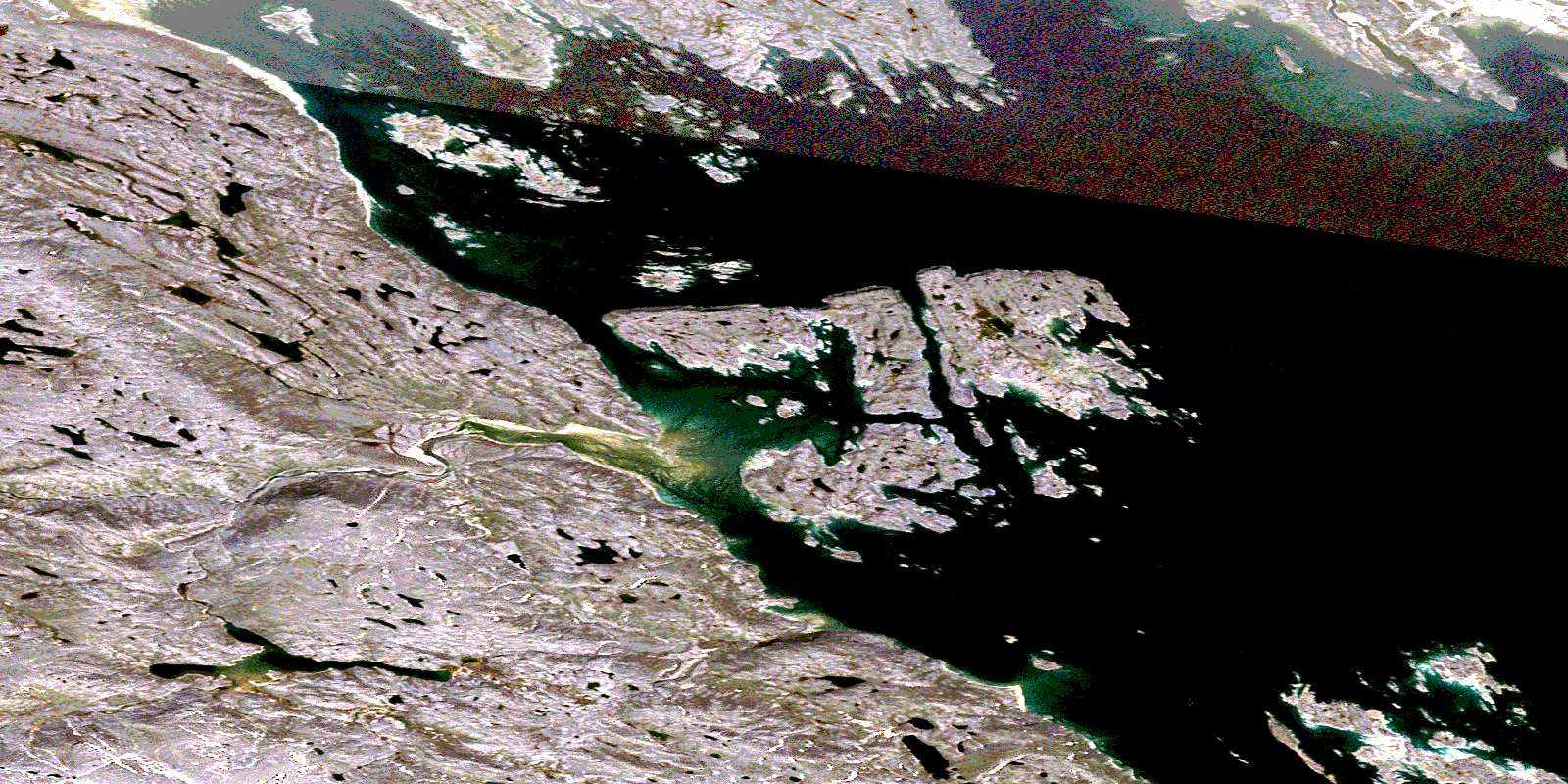
Hill Island Satellite Imagery
To view this satellite map, mouse over the air photo on the right.
You can also download this satellite image map for free:
025N10 Hill Island high-resolution satellite image map.
Maps for the Hill Island aerial map sheet 025N10 at 1:50,000 scale are also available in these versions:
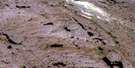
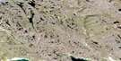
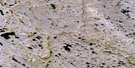
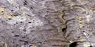
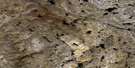
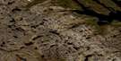
Hill Island Surrounding Area Aerial Photo Maps
 |
 |
 |
 |
 |
 |
 |
 |
 |
 |
 |
 |
 |
 |
 |
 |
© Department of Natural Resources Canada. All rights reserved.
Hill Island Gazetteer
The following places can be found on satellite image map 025N10 Hill Island:
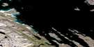
Hill Island Satellite Image: Bays
Bay of Two RiversFoul Inlet
Frobisher Bay
Koojesse Inlet
Peterhead Inlet
Hill Island Satellite Image: Capes
Best PointDavidson Point
Peale Point
Hill Island Satellite Image: City
IqaluitHill Island Satellite Image: Islands
Aubrey IslandBeveridge Island
Bishop Island
Carter Islands
Emerick Island
Faris Island
Hill Island
Long Island
Monument Island
Ptarmigan Island
Qarsau Island
Hill Island Satellite Image: Mountains
Innuit HeadMount Sharat
Silliman's Fossil Mount
Hill Island Satellite Image: Rivers
Armshow RiverSylvia Grinnell River
Sylvia River
Hill Island Satellite Image: Shoals
Black LedgePolaris Reef
White Top Ledge
Hill Island Satellite Image: Towns
Frobisher BayHill Island Satellite Image: Unincorporated areas
FrobisherIkaluit
© Department of Natural Resources Canada. All rights reserved.
025N Related Maps:
025N Armshow River025N01 Eggleston Bay
025N02 No Title
025N03 No Title
025N04 Mount Moore
025N05 Mount Joy
025N06 No Title
025N07 No Title
025N08 No Title
025N09 Burton Bay
025N10 Hill Island
025N11 Kynersley Lake
025N12 No Title
025N13 No Title
025N14 Jordan River
025N15 Iqaluit
025N16 No Title
