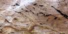
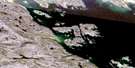
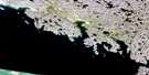
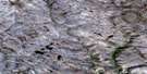
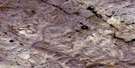
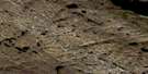
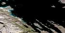
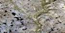
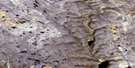
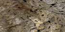
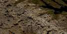
Burton Bay Satellite Image Map
Download Free Aerial Photo 025N09 at 1:50,000 scale
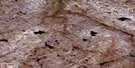
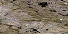
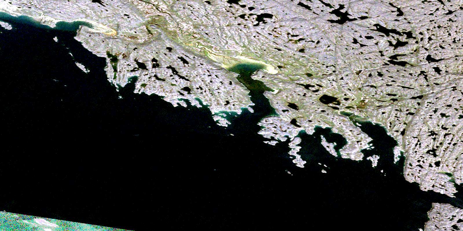
Burton Bay Satellite Imagery
To view this satellite map, mouse over the air photo on the right.
You can also download this satellite image map for free:
025N09 Burton Bay high-resolution satellite image map.
Maps for the Burton Bay aerial map sheet 025N09 at 1:50,000 scale are also available in these versions:
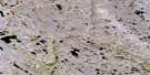
Burton Bay Surrounding Area Aerial Photo Maps
 |
 |
 |
 |
 |
 |
 |
 |
 |
 |
 |
 |
 |
 |
 |
 |
© Department of Natural Resources Canada. All rights reserved.
Burton Bay Gazetteer
The following places can be found on satellite image map 025N09 Burton Bay:
Burton Bay Satellite Image: Bays
Burton BayFrobisher Bay
Koojesse Inlet
Lewis Bay
Porter Inlet
Tarr Inlet
Wayne Bay
Burton Bay Satellite Image: Capes
Becher PeninsulaKoodloo Point
Laird Peninsula
Lamb Point
Miner Point
Pichit Peninsula
Burton Bay Satellite Image: Channels
Mandarin PassageBurton Bay Satellite Image: City
IqaluitBurton Bay Satellite Image: Islands
Cairn IslandCoffin Island
Crimmins Island
Frobisher's Farthest
Jenvey Island
Kudlago Island
Long Island
Mair Island
McLaren Island
Monument Island
Pichit Island
Sale Island
Sybil Island
Wigle Islands
Burton Bay Satellite Image: Mountains
Apex HillBurton Bay Satellite Image: Rivers
Niaqunguk RiverBurton Bay Satellite Image: Shoals
Deception ReefJohnston Reef
Laprade Reef
O'Connell Reef
Palmer Reef
Quinn Reef
Shagstone Reef
Burton Bay Satellite Image: Unincorporated areas
ApexFrobisher Bay
© Department of Natural Resources Canada. All rights reserved.
025N Related Maps:
025N Armshow River025N01 Eggleston Bay
025N02 No Title
025N03 No Title
025N04 Mount Moore
025N05 Mount Joy
025N06 No Title
025N07 No Title
025N08 No Title
025N09 Burton Bay
025N10 Hill Island
025N11 Kynersley Lake
025N12 No Title
025N13 No Title
025N14 Jordan River
025N15 Iqaluit
025N16 No Title
