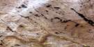
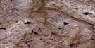
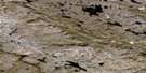
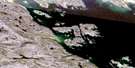
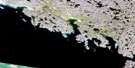
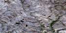
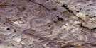
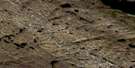
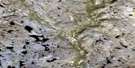
No Title Satellite Image Map
Download Free Aerial Photo 025N08 at 1:50,000 scale
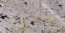
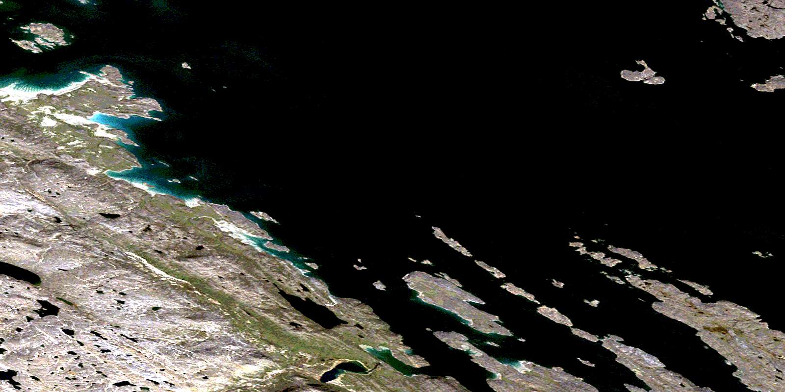
No Title Satellite Imagery
To view this satellite map, mouse over the air photo on the right.
You can also download this satellite image map for free:
025N08 No Title high-resolution satellite image map.
Maps for the No Title aerial map sheet 025N08 at 1:50,000 scale are also available in these versions:
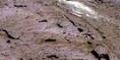
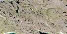
No Title Surrounding Area Aerial Photo Maps
 |
 |
 |
 |
 |
 |
 |
 |
 |
 |
 |
 |
 |
 |
 |
 |
© Department of Natural Resources Canada. All rights reserved.
No Title Gazetteer
The following places can be found on satellite image map 025N08 No Title:
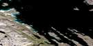
No Title Satellite Image: Bays
Crowell HarbourFrobisher Bay
Jaynes Inlet
No Title Satellite Image: Capes
Ayde PointCanaille Point
Cape Caldwell
Cape Rammelsberg
Scaur Point
Whistler Point
No Title Satellite Image: Channels
Cincinnati Press ChannelDeep Passage
Fletcher Channel
Pike-Resor Channel
Whiskukun Channel
No Title Satellite Image: Islands
Alligator IslandAnchorage Island
Camp Island
Crowell Island
Dog Island
Frobisher's Farthest
Gardiner Island
Kungo Island
Luella Island
Metela Island
Pike Island
Pink Lady Island
Pugh Island
Quadrifid Island
Resor Island
Sliver Island
Thompson Island
Wedge Island
No Title Satellite Image: Marine navigation features
Hancock HarbourNo Title Satellite Image: Shoals
Alligators TeethBiserial Reefs
Charybdis Reef
Folly Reefs
Folly Shoal
Kungo Reef
Lapointe Rock
Nipper Rock
October Shoal
Remus Rock
Romulus Rock
Theron Reefs
© Department of Natural Resources Canada. All rights reserved.
025N Related Maps:
025N Armshow River025N01 Eggleston Bay
025N02 No Title
025N03 No Title
025N04 Mount Moore
025N05 Mount Joy
025N06 No Title
025N07 No Title
025N08 No Title
025N09 Burton Bay
025N10 Hill Island
025N11 Kynersley Lake
025N12 No Title
025N13 No Title
025N14 Jordan River
025N15 Iqaluit
025N16 No Title
