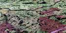
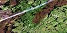
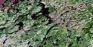
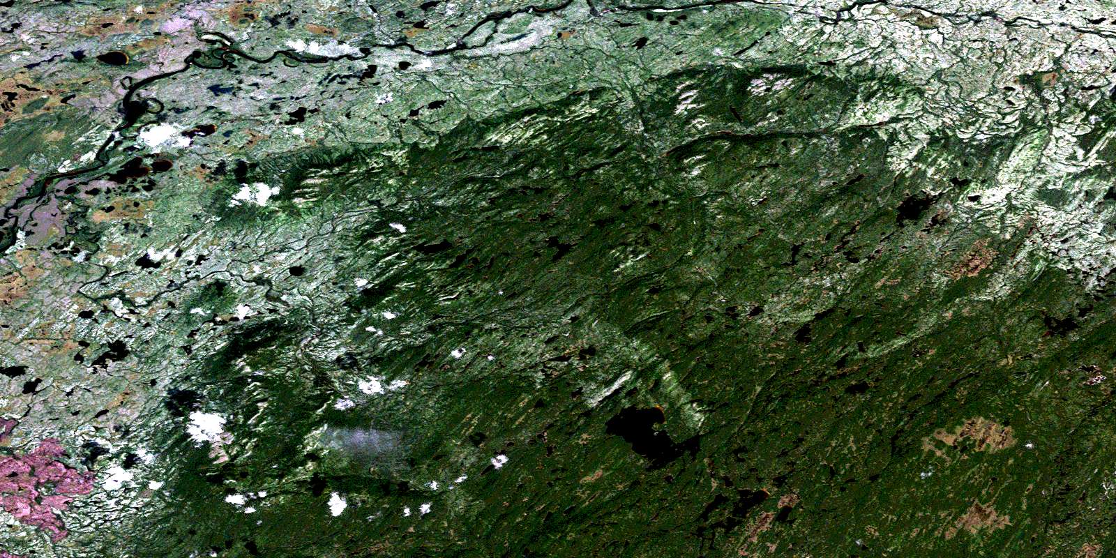
Lac Mantouchiche Satellite Image Map
Download Free Aerial Photo 032P15 at 1:50,000 scale
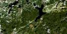
Lac Mantouchiche Satellite Imagery
To view this satellite map, mouse over the air photo on the right.
You can also download this satellite image map for free:
032P15 Lac Mantouchiche high-resolution satellite image map.
Maps for the Lac Mantouchiche aerial map sheet 032P15 at 1:50,000 scale are also available in these versions:
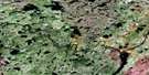
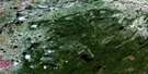
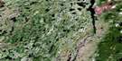
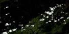
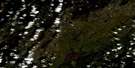
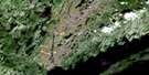
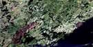
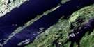
Lac Mantouchiche Surrounding Area Aerial Photo Maps
 |
 |
 |
 |
 |
 |
 |
 |
 |
 |
 |
 |
 |
 |
 |
 |
© Department of Natural Resources Canada. All rights reserved.
Lac Mantouchiche Gazetteer
The following places can be found on satellite image map 032P15 Lac Mantouchiche:
Lac Mantouchiche Satellite Image: Lakes
Lac de la RechercheLac des Deux Îles
Lac Mantouchiche
Lac Pépeshquasati
Lac Mantouchiche Satellite Image: Mountains
Monts TichégamiLac Mantouchiche Satellite Image: Conservation areas
Réserve de MistassiniLac Mantouchiche Satellite Image: Rivers
Rivière MamachouésatiRivière Mamaskwasati
Rivière Mémeshquasati
Rivière Pépeshquasati
Rivière Shigami
Rivière Tichégami
© Department of Natural Resources Canada. All rights reserved.
032P Related Maps:
032P Lac Baudeau032P01 Lac Temiscamie
032P02 Lac Kallio
032P03 Ile Tchapahipane
032P04 Ile Peuvereau
032P05 Lac Woollett
032P06 Lac Fromenteau
032P07 Lac Clairy
032P08 Lac Bethoulat
032P09 Riviere Temis
032P10 Lac Holton
032P11 Lac Gochigami
032P12 Lac Comeau
032P13 Lac Michaux
032P14 Lac Chamic
032P15 Lac Mantouchiche
032P16 Lac Hippocampe
