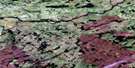
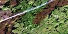
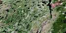
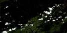
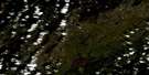
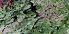
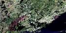
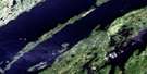
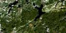
Ile Tchapahipane Satellite Image Map
Download Free Aerial Photo 032P03 at 1:50,000 scale
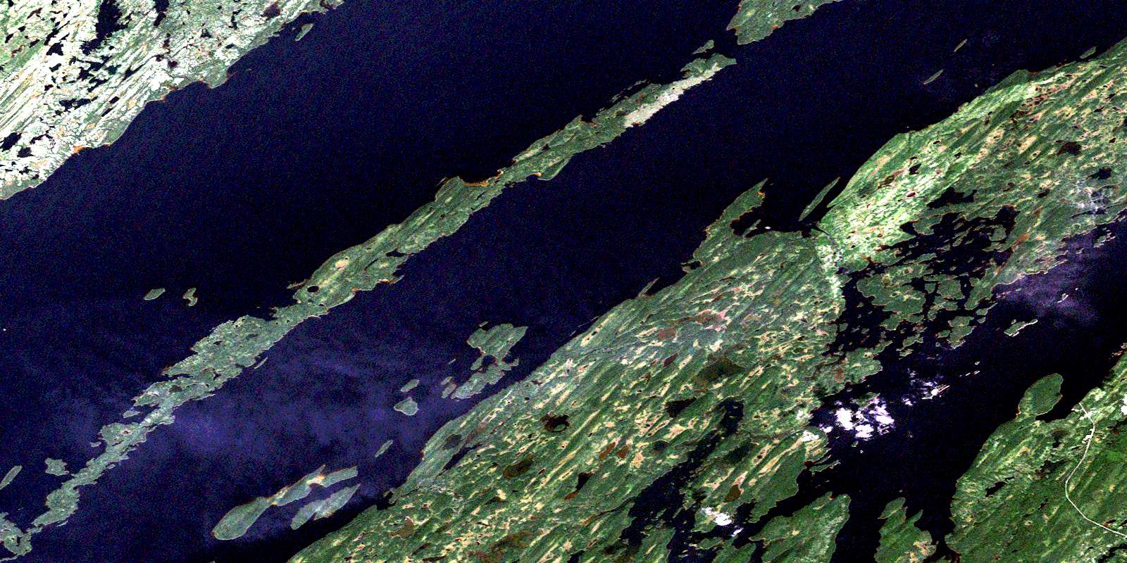
Ile Tchapahipane Satellite Imagery
To view this satellite map, mouse over the air photo on the right.
You can also download this satellite image map for free:
032P03 Ile Tchapahipane high-resolution satellite image map.
Maps for the Ile Tchapahipane aerial map sheet 032P03 at 1:50,000 scale are also available in these versions:
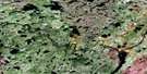
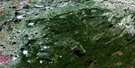
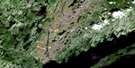
Ile Tchapahipane Surrounding Area Aerial Photo Maps
 |
 |
 |
 |
 |
 |
 |
 |
 |
 |
 |
 |
 |
 |
 |
 |
© Department of Natural Resources Canada. All rights reserved.
Ile Tchapahipane Gazetteer
The following places can be found on satellite image map 032P03 Ile Tchapahipane:
Ile Tchapahipane Satellite Image: Bays
Anse ChantanteAnse des Grandes Orgues
Baie Bonhomme
Baie Coucouchiche
Baie Crépieul
Baie de la Témiscamie
Baie de l'Eau Changeante
Baie de l'Osmonde
Baie des Fraises
Baie Kapotagen
Baie Kucyniak
Baie Massicotte
Baie Provancher
Baie Rousseau
Baie Vaillant
Baie Wiyachimiskow
Ile Tchapahipane Satellite Image: Capes
Péninsule du DauphinPéninsule du Fort Dorval
Péninsule Ouachimiscau
Pointe Coucouche
Pointe de Mistassini
Pointe Fletcher
Pointe Malte
Pointe Rolland-Germain
Pointe Roze
Pointe Saint-Jean
Pointe Saint-Nicolas
Pointe Wiyachimiskow
Presqu'île Albanel
Presqu'île Chébamonkoue
Presqu'île Michel-Laure
Presqu'île Saint-Ambroise
Presqu'île Silvy
Ile Tchapahipane Satellite Image: Channels
Détroit OpapouchkaPasse du Grand Percé
Passe Kapchahipachich
Ile Tchapahipane Satellite Image: Islands
Archipel KasapominskatÎle à Joseph
Île Atik
Île Beads
Île Bélanger
Île Chapais
Île de la Cache
Île de la Passe
Île de la Sarracénie
Île des Cèdres
Île Dorval
Île Guy
Île Kicheriniou
Île Lawson
Île le Pallieur
Île Lemoine
Île Migneault
Île Ovide-Brunet
Île Pahipanouk
Île Pauli
Île Rafinesque
Île Rauchine
Île Réaumur
Île Rousseau
Île Sainte-Croix
Île Taverner
Île Tchapahipane
Île Tchéno
Île Traill
Île Vallard
Île Wahl
Îles des Arabesques
Îles Huard
Îlot des Algues
Îlots Walcott
Ile Tchapahipane Satellite Image: Lakes
Lac AlbanelLac des Pigamons
Lac Einer
Lac Mistassini
Lac Mistassiniche
Petit lac Mistassini
Ile Tchapahipane Satellite Image: Rivers
Rivière TémiscamieRuisseau aux Bords Brûlés
Ruisseau Nitstékouk
© Department of Natural Resources Canada. All rights reserved.
032P Related Maps:
032P Lac Baudeau032P01 Lac Temiscamie
032P02 Lac Kallio
032P03 Ile Tchapahipane
032P04 Ile Peuvereau
032P05 Lac Woollett
032P06 Lac Fromenteau
032P07 Lac Clairy
032P08 Lac Bethoulat
032P09 Riviere Temis
032P10 Lac Holton
032P11 Lac Gochigami
032P12 Lac Comeau
032P13 Lac Michaux
032P14 Lac Chamic
032P15 Lac Mantouchiche
032P16 Lac Hippocampe
