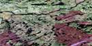
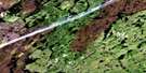
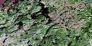
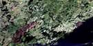
Lac Kallio Satellite Image Map
Download Free Aerial Photo 032P02 at 1:50,000 scale
Lac Kallio Satellite Imagery
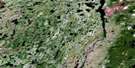
To view this satellite map, mouse over the air photo on the right.
You can also download this satellite image map for free:
032P02 Lac Kallio high-resolution satellite image map.
Maps for the Lac Kallio aerial map sheet 032P02 at 1:50,000 scale are also available in these versions:
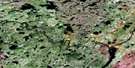
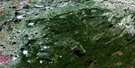
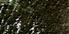
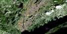
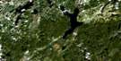
Lac Kallio Surrounding Area Aerial Photo Maps
 |
 |
 |
 |
 |
 |
 |
 |
 |
 |
 |
 |
 |
 |
 |
 |
© Department of Natural Resources Canada. All rights reserved.
Lac Kallio Gazetteer
The following places can be found on satellite image map 032P02 Lac Kallio:
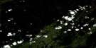
Lac Kallio Satellite Image: Bays
Anse La GalissonnièreBaie de la Chute Cachée
Baie des Trembles Courbés
Baie du Canso
Baie Gaulthier
Baie Jeffreys
Baie Lowther
Baie Tait
Baie Yadogami
Lac Kallio Satellite Image: Capes
Péninsule du DauphinPointe Canso
Pointe de la Doradille
Pointe de l'Affleurement
Pointe de l'Esker
Pointe des Genévriers
Pointe du Myrica
Pointe Raphaël
Lac Kallio Satellite Image: Caves
Antre de MarbreLac Kallio Satellite Image: Islands
Île ChicapioÎle Jacques-Cornut
Île Richardson
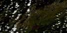
Lac Kallio Satellite Image: Lakes
Lac AlbanelLac Andrew-Gunner
Lac Chapipscow
Lac Coom
Lac des Potamots
Lac du Renard
Lac Einer
Lac Gwynneth
Lac Kallio
Lac Lecomte
Lac Louis-Jolliet
Lac Mistassini
Lac Mistassiniche
Lac Plateau
Petit lac Mistassini
Lac Kallio Satellite Image: Mountains
Colline BlancheMont Norancon
Mont Shapanico
Monts Témiscamie
Lac Kallio Satellite Image: Rivers
Rivière PerdueRivière Témiscamie
Rivière Tétépiskaw
Rivière Tétipiskaw
Rivière Tournemine
Lac Kallio Satellite Image: Road features
Portage Windigo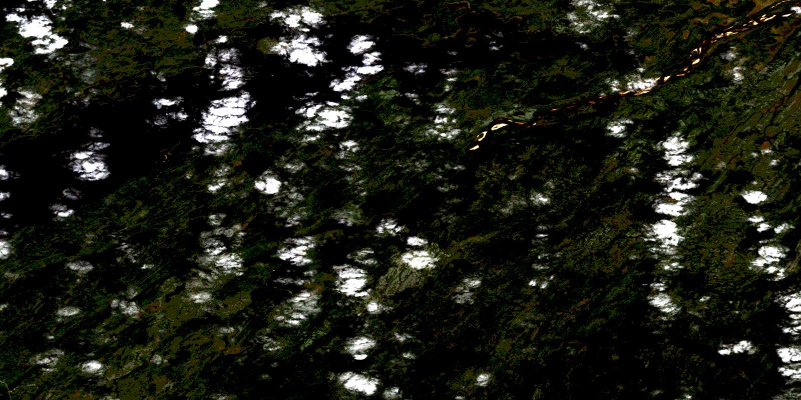
© Department of Natural Resources Canada. All rights reserved.
032P Related Maps:
032P Lac Baudeau032P01 Lac Temiscamie
032P02 Lac Kallio
032P03 Ile Tchapahipane
032P04 Ile Peuvereau
032P05 Lac Woollett
032P06 Lac Fromenteau
032P07 Lac Clairy
032P08 Lac Bethoulat
032P09 Riviere Temis
032P10 Lac Holton
032P11 Lac Gochigami
032P12 Lac Comeau
032P13 Lac Michaux
032P14 Lac Chamic
032P15 Lac Mantouchiche
032P16 Lac Hippocampe
