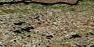
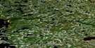
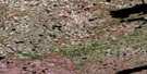
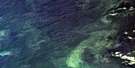
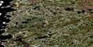
Ile Goat Satellite Image Map
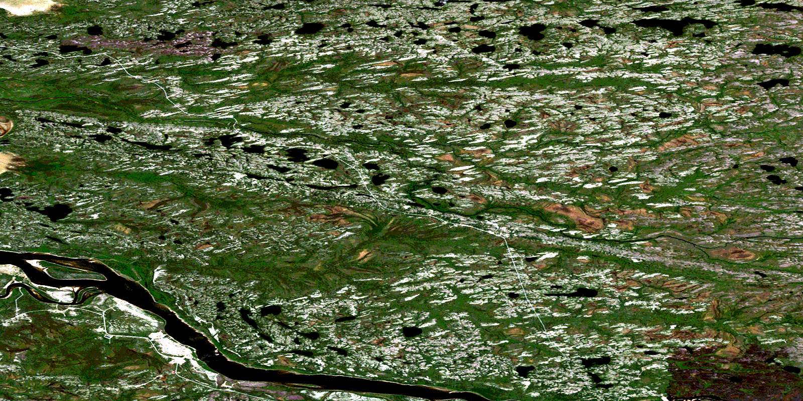
Download Free Aerial Photo 033E15 at 1:50,000 scale
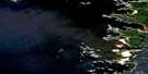
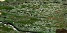
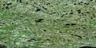
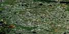
Ile Goat Satellite Imagery
To view this satellite map, mouse over the air photo on the right.
You can also download this satellite image map for free:
033E15 Ile Goat high-resolution satellite image map.
Maps for the Ile Goat aerial map sheet 033E15 at 1:50,000 scale are also available in these versions:
Ile Goat Surrounding Area Aerial Photo Maps
 |
 |
 |
|
 |
 |
 |
|
 |
 |
 |
|
 |
 |
 |
© Department of Natural Resources Canada. All rights reserved.
Ile Goat Gazetteer
The following places can be found on satellite image map 033E15 Ile Goat:
Ile Goat Satellite Image: Bays
Baie des OiesBaie d'Upichiwuun
Baie Goose
Goose Bay
Ile Goat Satellite Image: Islands
Île de Fort GeorgeÎle du Gouverneur
Île Goat
Ile Goat Satellite Image: Lakes
Lac AchinuskumikachLac Akakaumaymakuch
Lac Aministikuch
Lac Anuwachikwanuch
Lac Asakapiskach
Lac Atikw
Lac Aupiskamikach
Lac Kamamikachach
Lac Kaministikuch
Lac Kanipisikupach
Lac Kasakukamach
Lac Kawawiyakamach
Lac Kawistischiuch
Lac Kawiyakach
Lac Mistikuyaw
Lac Mwakw
Lac Namapi
Lac Nanatamiskw
Lac Uchistun Aastach
Lac Uciskw
Lac Wahwaw
Lac Wapiyawmutausich
Lac Wawiyakamaw
Petit lac Chinusaw
Petit lac Kanistumich
Ile Goat Satellite Image: Rivers
La Grande RivièreRivière Chisasipis
Rivière Fort George
Rivière Guillaume
Rivière Morand
Rivière Piagochi
Rivière William
Ile Goat Satellite Image: Unincorporated areas
ChisasibiChisasibi
Fort George
© Department of Natural Resources Canada. All rights reserved.
