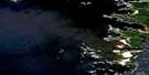
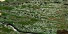
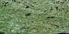
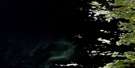
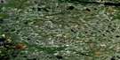
Lac Paint-Hills Satellite Image Map
Download Free Aerial Photo 033E02 at 1:50,000 scale
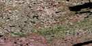
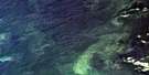
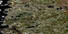
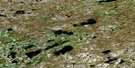
Lac Paint-Hills Satellite Imagery
To view this satellite map, mouse over the air photo on the right.
You can also download this satellite image map for free:
033E02 Lac Paint-Hills high-resolution satellite image map.
Maps for the Lac Paint-Hills aerial map sheet 033E02 at 1:50,000 scale are also available in these versions:
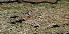
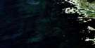
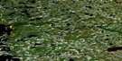
Lac Paint-Hills Surrounding Area Aerial Photo Maps
 |
 |
 |
|
 |
 |
 |
|
 |
 |
 |
|
 |
 |
 |
© Department of Natural Resources Canada. All rights reserved.
Lac Paint-Hills Gazetteer
The following places can be found on satellite image map 033E02 Lac Paint-Hills:
Lac Paint-Hills Satellite Image: Bays
Anse ApimuwasasichAnse Wapusuchi
Baie James
Baie James
Baie Pakutapiwasaw
Grimmington Bay
James Bay
Lac Paint-Hills Satellite Image: Capes
Pointe au HéronPointe au Huard
Pointe des Oblats
Pointe Loon
Lac Paint-Hills Satellite Image: Channels
Passe AsipaskachLac Paint-Hills Satellite Image: Indian Reserves
WemindjiLac Paint-Hills Satellite Image: Islands
Black IslandÎle Sikahunanis
Lac Paint-Hills Satellite Image: Lakes
Lac AchiwayaukunhusutLac Apimutwasachich
Lac Apiyaumutauch
Lac Awaypayach
Lac Kamaschakamaw
Lac Kamaschakwakamach
Lac Kamisikamach
Lac Kanatiwat Usakahikanim
Lac Kwachimausaw
Lac Mischikami
Lac Mwakw
Lac Paint Hills
Lac Pikutipi
Lac Wapusuchi
Lac Wapusuchi
Lacs Kaupach Wapus
Lacs Kaupasich
Lac Paint-Hills Satellite Image: Rapids
Rapides AnichiwachusichLac Paint-Hills Satellite Image: Rivers
Rivière ChisasakahikanistikwRivière Jibaud
Rivière Maquatua
Rivière Maugras
Rivière Sculpin
Rivière Suaganstuc
Ruisseau Swallow
Lac Paint-Hills Satellite Image: Road features
Portage Loon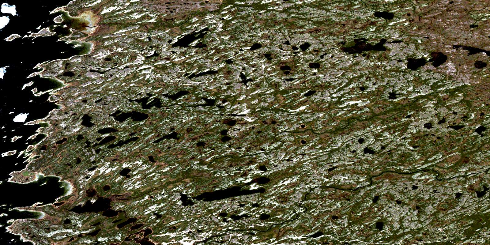
© Department of Natural Resources Canada. All rights reserved.
