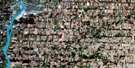
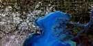
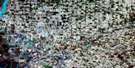
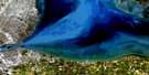
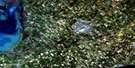
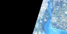
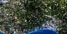
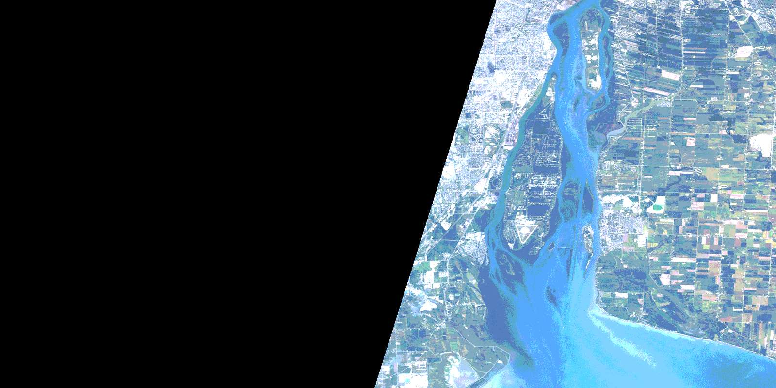
Amherstburg Satellite Image Map
Download Free Aerial Photo 040J03 at 1:50,000 scale
Amherstburg Satellite Imagery
To view this satellite map, mouse over the air photo on the right.
You can also download this satellite image map for free:
040J03 Amherstburg high-resolution satellite image map.
Maps for the Amherstburg aerial map sheet 040J03 at 1:50,000 scale are also available in these versions:
Amherstburg Surrounding Area Aerial Photo Maps
 |
|||
 |
 |
||
 |
 |
 |
|
 |
 |
 |
© Department of Natural Resources Canada. All rights reserved.
Amherstburg Gazetteer
The following places can be found on satellite image map 040J03 Amherstburg:
Amherstburg Satellite Image: Bays
Amherstburg HarbourCrystal Bay
Amherstburg Satellite Image: Beaches
Bailey's BeachWhite Sands
Amherstburg Satellite Image: Capes
Amherst PointeBar Point
Amherstburg Satellite Image: Channels
Livingstone ChannelAmherstburg Satellite Image: Geographical areas
ColchesterEssex
Malden
Sandwich
Sandwich East
Sandwich South
Sandwich West
Amherstburg Satellite Image: Hydraulic construction
Cahill DrainMaranette Drain
Amherstburg Satellite Image: Islands
Bird IslandBois Blanc Island
Fighting Island
Grassy Island
Île aux Bois Blancs
Knapps Island
Turkey Island
Amherstburg Satellite Image: Lakes
International LakeLac Érié
Lake Erie
Amherstburg Satellite Image: Major municipal/district area - major agglomerations
EssexAmherstburg Satellite Image: Other municipal/district area - miscellaneous
AnderdonMalden
Sandwich
Sandwich
Sandwich East
Sandwich South
Sandwich West
Amherstburg Satellite Image: Conservation areas
Bois Blanc Island Lighthouse and Blockhouse National Historic Site of CanadaBois Blanc Island Lighthouse National Historic Site of Canada
Fort Malden National Historic Site of Canada
Lieu historique national du Canada du Fort-Malden
Lieu historique national du Canada du Phare-de-l'Île-Bois Blanc
Lieu historique national du Canada du Phare-et-du-Blockhaus-de-l'Île-Bois-Blanc
Amherstburg Satellite Image: Provinces
OntarioAmherstburg Satellite Image: Rivers
Amherstburg ChannelBig Creek
Canard River
Detroit River
Fighting Channel
Rivière aux Canards
Rivière Détroit
Turkey Creek
Amherstburg Satellite Image: Towns
AmherstburgLaSalle
Tecumseh
Amherstburg Satellite Image: Unincorporated areas
Amherst PointeAmherstburg
Auld
Bar Point
Busy Bee Corners
Delisle's Corners
Edgewater Beach
Glen Eden
Gordon
La Salle
Lake Erie Country Club
Lakewood Beach
Levergood Beach
Lukerville
Malden Centre
North Malden
Oliver
Quarries
River Canard
Rivière-aux-Canards
South Windsor
Southwick
Splitlog
Sunset Beach
Tecumseh
The Meadows
Willow Beach
Willowood
© Department of Natural Resources Canada. All rights reserved.
