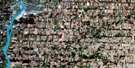
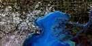
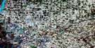
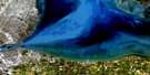
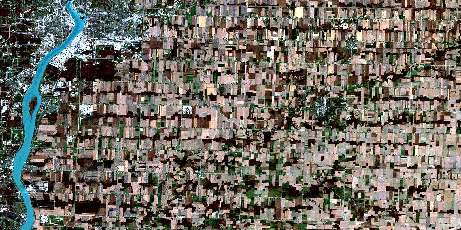
Sarnia Satellite Image Map
Download Free Aerial Photo 040J16 at 1:50,000 scale
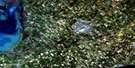
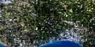
Sarnia Satellite Imagery
To view this satellite map, mouse over the air photo on the right.
You can also download this satellite image map for free:
040J16 Sarnia high-resolution satellite image map.
Maps for the Sarnia aerial map sheet 040J16 at 1:50,000 scale are also available in these versions:
Sarnia Surrounding Area Aerial Photo Maps
 |
|||
 |
 |
||
 |
 |
 |
|
 |
 |
 |
© Department of Natural Resources Canada. All rights reserved.
Sarnia Gazetteer
The following places can be found on satellite image map 040J16 Sarnia:
Sarnia Satellite Image: Bays
Sarnia BaySarnia Harbour
Sarnia Satellite Image: Capes
Bay PointFrog Point
Sarnia Satellite Image: City
SarniaSarnia-Clearwater
Sarnia Satellite Image: Geographical areas
BrookeDawn
Enniskillen
Euphemia
Lambton
Moore
Plympton
Sarnia
Sombra
Warwick
Zone
Sarnia Satellite Image: Hydraulic construction
Burton DrainCoyle Drain
McDonald Drain
Stonehouse Drain
Sarnia Satellite Image: Indian Reserves
Réserve indienne Sarnia 45Sarnia 45
Sarnia Indian Reserve 45
Sarnia Satellite Image: Islands
Stag IslandSarnia Satellite Image: Major municipal/district area - major agglomerations
LambtonSarnia Satellite Image: Other municipal/district area - miscellaneous
BrookeBrooke-Alvinston
Dawn
Dawn-Euphemia
Enniskillen
Enniskillen
Euphemia
Moore
Plympton
Sombra
St. Clair
Warwick
Sarnia Satellite Image: Provinces
OntarioSarnia Satellite Image: Rivers
Baby CreekBear Creek
Black Creek
Bonnie Doon Creek
Bowens Creek
Buttermilk Creek
Clay Creek
Cow Creek
Crooked Creek
Fox Creek
Indian Creek
Jarvis Creek
Little Bear Creek
Marsh Creek
Nichol Creek
Perch Creek
Perch Creek
Plum Creek
Pulse Creek
Rivière Sainte-Claire
St. Clair River
Talford Creek
Talfourd Creek
Waddell Creek
Sarnia Satellite Image: Towns
ClearwaterPetrolia
Plympton-Wyoming
Sarnia Satellite Image: Unincorporated areas
AvonryBickford
Bradshaw
Brigden
Bunyan
Colinville
Copleston
Corey
Coronation Park
Corunna
Courtright
Crescent Park
Cromar
Fourth Line
Froomfield
Glen Rae
Grandview Park
High Park
Holmesdale
Kertch
Kimball
Ladysmith
Logierait
Lucasville
Mandamin
Mandaumin
Marthaville
Moore Centre
Mooretown
Oil City
Osborne
Ossian
Payne
Petrolia Junction
Reeces Corners
Seckerton
Sherwood Village
Sykeston
Wanstead
Waubuno
Weidmann
Wheeler
Wilson Croft
Wiltshire Park
Woodland
Wyoming
Sarnia Satellite Image: Villages
MooreOil Springs
Point Edward
© Department of Natural Resources Canada. All rights reserved.
