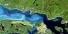
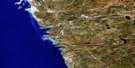
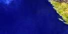
Oiseau Bay Satellite Image Map
Download Free Aerial Photo 042D08 at 1:50,000 scale
Oiseau Bay Satellite Imagery
To view this satellite map, mouse over the air photo on the right.
You can also download this satellite image map for free:
042D08 Oiseau Bay high-resolution satellite image map.
Maps for the Oiseau Bay aerial map sheet 042D08 at 1:50,000 scale are also available in these versions:
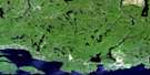
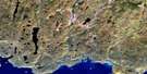
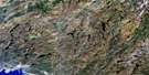
Oiseau Bay Surrounding Area Aerial Photo Maps
 |
 |
 |
 |
 |
 |
 |
 |
 |
|||
 |
© Department of Natural Resources Canada. All rights reserved.
Oiseau Bay Gazetteer
The following places can be found on satellite image map 042D08 Oiseau Bay:
Oiseau Bay Satellite Image: Bays
Cave HarbourDampier Cove
Fish Harbour
Gids Harbour
Morrison Harbour
Nicols Cove
Oiseau Bay
Shot Watch Cove
Simons Harbour
White Spruce Harbour
Oiseau Bay Satellite Image: Capes
Oiseau PointSewell Point
Oiseau Bay Satellite Image: Geographical areas
Thunder BayOiseau Bay Satellite Image: Islands
One Lake IslandOiseau Bay Satellite Image: Lakes
Ahdik LakeCaribou Lake
Lac Supérieur
Lake Superior
Willow Lake
Oiseau Bay Satellite Image: Mountains
Tip Top MountainOiseau Bay Satellite Image: Conservation areas
Parc national du Canada PukaskwaPukaskwa National Park of Canada
Oiseau Bay Satellite Image: Rivers
Brush CreekNorth Swallow River
Oiseau Creek
Reverse Creek
White Gravel River
White Spruce River
Willow River
Oiseau Bay Satellite Image: Shoals
Stench Rock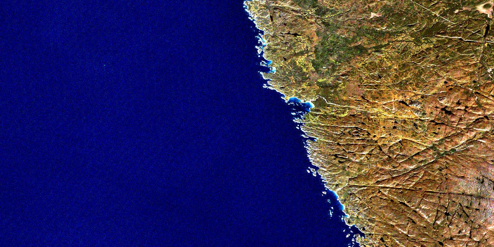
© Department of Natural Resources Canada. All rights reserved.
