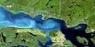
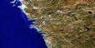
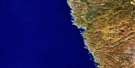
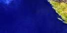
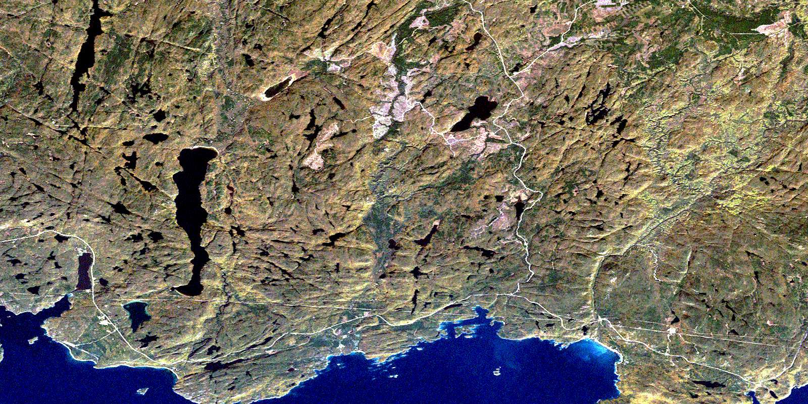
Coldwell Satellite Image Map
Download Free Aerial Photo 042D15 at 1:50,000 scale
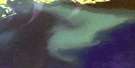
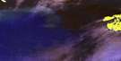
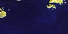
Coldwell Satellite Imagery
To view this satellite map, mouse over the air photo on the right.
You can also download this satellite image map for free:
042D15 Coldwell high-resolution satellite image map.
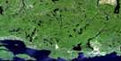
Maps for the Coldwell aerial map sheet 042D15 at 1:50,000 scale are also available in these versions:
Coldwell Surrounding Area Aerial Photo Maps
 |
 |
 |
 |
 |
 |
 |
 |
 |
|||
 |
© Department of Natural Resources Canada. All rights reserved.
Coldwell Gazetteer
The following places can be found on satellite image map 042D15 Coldwell:
Coldwell Satellite Image: Bays
Ashburton BayBottle Cove
Cork Cove
Jackfish Bay
Jims Harbour
McKellar Harbour
Mink Harbour
Moberley Bay
Peninsula Bay
Port Coldwell
Prairie Cove
Prisoner Cove
Ripple Bay
Santoy Bay
Tunnel Bay
Coldwell Satellite Image: Capes
Cape VictoriaColdwell Peninsula
Observation Point
Prince Point
Windigo Wigwam Point
Coldwell Satellite Image: Channels
Jackfish ChannelColdwell Satellite Image: Geographical areas
7879
80
81
82
Coldwell
Grain
Syine
Tuuri
Walsh
Coldwell Satellite Image: Islands
Barclay IslandsCody Island
Lawson Island
St. Patrick Island
Coldwell Satellite Image: Lakes
Angel LakeBass Lake
Beaverdam Lake
Black Fox Lake
Bonne Lake
Box Lake
Cairngorm Lake
Canoe Lake
Cedar Lake
Christie Lake
Dam Lake
Dead Horse Lake
Deb Lake
Del Lake
Diablo Lake
Echo Lake
Echo Lake
Eric Lake
Fishnet Lake
Foxtrap Lake
Foxxe Lake
Glory Lake
Goldbar Lake
Gordon Lake
Grassy Lake
Islealone Lake
Jackfish Lake
Johnny Lake
Lac Supérieur
Lake Superior
Larry Lake
Little Davidson Lake
Little Santoy Lake
Little Steel Lake
Lunch Lake
McCraig Lake
McKellar Lake
McLaren Lake
Moon Lake
Neys Lake
Noslo Lake
Pack Lake
Pony Lake
Poulin Lake
Prospect Lake
Prospect South Lake
Ripple Lake
Robertson Lake
Sandy Lake
Santoy Lake
Sawmill Lake
Spider Lake
Tunnel Lake
Coldwell Satellite Image: Mountains
Empress HillGranite Mountain
Mount Premier
Premier Mountain
Santoy Mountain
Steel Mountain
Coldwell Satellite Image: Other municipal/district area - miscellaneous
Terrace BayColdwell Satellite Image: Conservation areas
Fishnet Lake Conservation ReserveNeys Provincial Park
Prairie River Mouth Provincial Nature Reserve
Steel River Provincial Park
Coldwell Satellite Image: Rivers
Culvert CreekDead Horse Creek
Diablo Creek
Fishnet Creek
Foxtrap Creek
Glory Creek
Larry Creek
Little Pic River
Martinet Creek
McKellar Creek
Mink Creek
Mink River
Neys Creek
Owl Creek
Prairie River
Ripple Creek
Santoy Creek
Sawmill Creek
Steel River
Worthington Creek
Coldwell Satellite Image: Shoals
Bare RockFitzsimmons Rocks
Haiste Rocks
Jack Rock
Little Nick Rock
Coldwell Satellite Image: Towns
MarathonColdwell Satellite Image: Unincorporated areas
ColdwellJack Fish
Jackfish
Middleton
Neys
Port Coldwell
Ripple
Santoy
Steel
© Department of Natural Resources Canada. All rights reserved.
