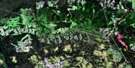
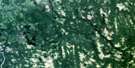
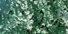
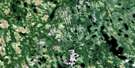
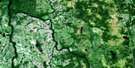
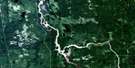
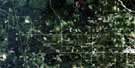
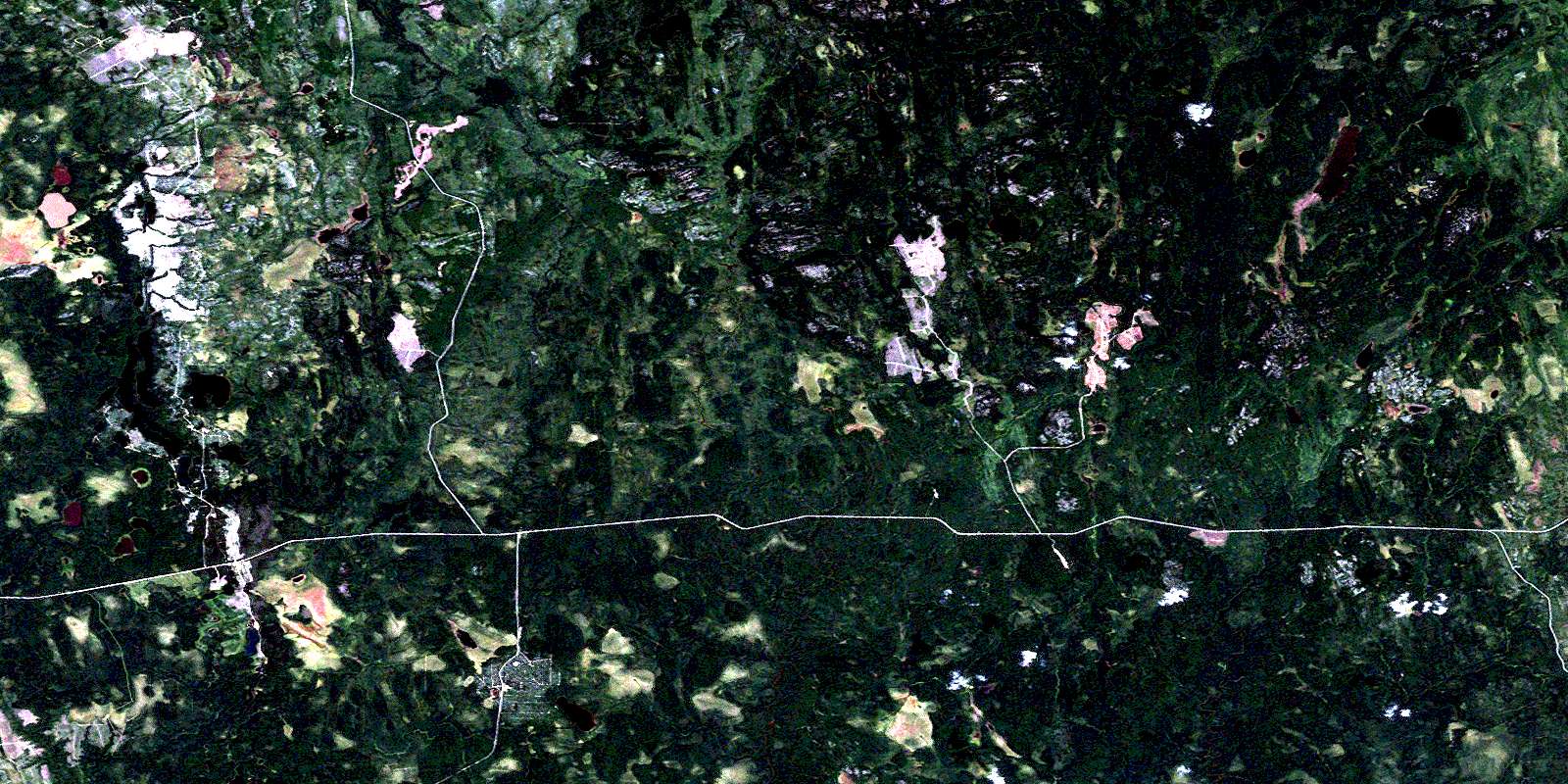
Mistango Lake Satellite Image Map
Download Free Aerial Photo 042H01 at 1:50,000 scale
Mistango Lake Satellite Imagery
To view this satellite map, mouse over the air photo on the right.
You can also download this satellite image map for free:
042H01 Mistango Lake high-resolution satellite image map.
Maps for the Mistango Lake aerial map sheet 042H01 at 1:50,000 scale are also available in these versions:
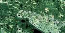
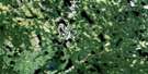
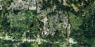
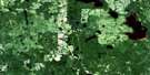
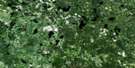
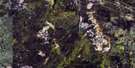
Mistango Lake Surrounding Area Aerial Photo Maps
 |
 |
 |
 |
 |
 |
 |
 |
 |
 |
 |
 |
 |
 |
 |
 |
© Department of Natural Resources Canada. All rights reserved.
Mistango Lake Gazetteer
The following places can be found on satellite image map 042H01 Mistango Lake:
Mistango Lake Satellite Image: Geographical areas
CaseChallies
Dempsay
Findlay
Freele
Heighington
Henley
Kenning
Pliny
Raven
Seguin
Steele
Sweatman
Mistango Lake Satellite Image: Lakes
Cabin LakeCircle Lake
Endelman Lake
Endleman Lake
Findlay Lake
Freele Lake
Haddow Lake
Kenning Lake
Little Low Bush Lake
Mistango Lake
Seguin Lake
Sweatman Lake
Trapline Lake
West Low Bush Lake
Whitewater Lake
Wright Lake
Mistango Lake Satellite Image: Conservation areas
Seguin River Conifer and Fens Conservation ReserveMistango Lake Satellite Image: Rivers
Chin RiverCircle River
Findlay Creek
Heighington Creek
Henley Creek
Joe Creek
Kaminisinakwa River
Kenning River
Little Joe Creek
Little Low Bush River
Low Bush River
Mistango River
Seguin River
Sweatman Creek
West Low Bush River
West Whitewater River
Whitewater River
© Department of Natural Resources Canada. All rights reserved.
042H Related Maps:
042H Cochrane042H01 Mistango Lake
042H02 Abitibi
042H03 Cochrane
042H04 Bradburn Lake
042H05 Smooth Rock Falls
042H06 Gardiner
042H07 Little Abitibi Lake
042H08 Twopeak Lake
042H09 North Burntbush Lake
042H10 Montreuil Lake
042H11 Island Falls
042H12 Abimatinu River
042H13 Fraserdale
042H14 Takwata Lake
042H15 Tomorrow Lake
042H16 Lawagamau Lake
