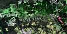
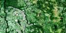
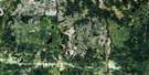
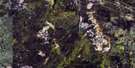
Bradburn Lake Satellite Image Map
Download Free Aerial Photo 042H04 at 1:50,000 scale
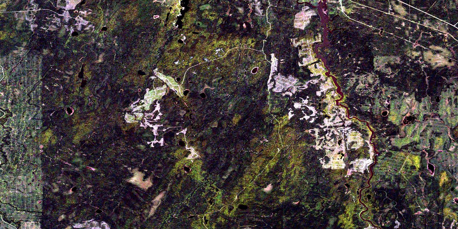
Bradburn Lake Satellite Imagery
To view this satellite map, mouse over the air photo on the right.
You can also download this satellite image map for free:
042H04 Bradburn Lake high-resolution satellite image map.
Maps for the Bradburn Lake aerial map sheet 042H04 at 1:50,000 scale are also available in these versions:
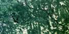
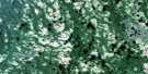
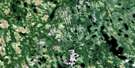
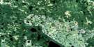
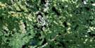
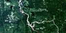
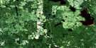
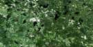
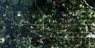
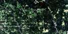
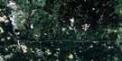
Bradburn Lake Surrounding Area Aerial Photo Maps
 |
 |
 |
 |
 |
 |
 |
 |
 |
 |
 |
 |
 |
 |
 |
 |
© Department of Natural Resources Canada. All rights reserved.
Bradburn Lake Gazetteer
The following places can be found on satellite image map 042H04 Bradburn Lake:
Bradburn Lake Satellite Image: Falls
Island FallsYellow Falls
Bradburn Lake Satellite Image: Geographical areas
BradburnCarmichael
Dargavel
Ford
Haggart
Kendrey
Laidlaw
Mabee
Shackleton
Sydere
Bradburn Lake Satellite Image: Lakes
Boundary LakeBradburn Lake
Carmichael Lake
Departure Lake
Detour Lake
Doe Lake
Footprint Lake
Haggart Lake
Little Bradburn Lake
Peron Lake
Rat Lake
Return Lake
Robin Lake
Sydere Lake
Twofinger Lake
Waterlily Lake
Bradburn Lake Satellite Image: Other municipal/district area - miscellaneous
Fauquier-StricklandShackleton and Machin
Bradburn Lake Satellite Image: Rapids
Davis RapidsLoon Rapids
Bradburn Lake Satellite Image: Rivers
Bradburn CreekCarmichael Creek
Dargavel Creek
East Bradburn Creek
East Muskego River
Footprint Creek
Ford Creek
Haggart Creek
Laidlaw Creek
Little Bradburn Creek
Mattagami River
North Muskego River
Poplar Rapids River
Pullen Creek
Rat Creek
Redsucker River
Rivière Mattagami
Rivière Poplar
Rivière Redsucker
South Creek
Sydere Creek
Wellington Creek
White Caribou River
Bradburn Lake Satellite Image: River features
The ForksBradburn Lake Satellite Image: Road features
Island PortageLoon Portage
Bradburn Lake Satellite Image: Towns
Smooth Rock FallsBradburn Lake Satellite Image: Unincorporated areas
PullenSmooth Rock
© Department of Natural Resources Canada. All rights reserved.
042H Related Maps:
042H Cochrane042H01 Mistango Lake
042H02 Abitibi
042H03 Cochrane
042H04 Bradburn Lake
042H05 Smooth Rock Falls
042H06 Gardiner
042H07 Little Abitibi Lake
042H08 Twopeak Lake
042H09 North Burntbush Lake
042H10 Montreuil Lake
042H11 Island Falls
042H12 Abimatinu River
042H13 Fraserdale
042H14 Takwata Lake
042H15 Tomorrow Lake
042H16 Lawagamau Lake
