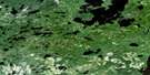
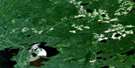
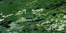
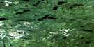
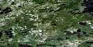
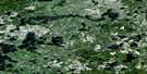
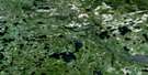
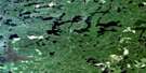
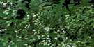
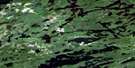
Big Canyon Lake Satellite Image Map
Download Free Aerial Photo 052K04 at 1:50,000 scale
Big Canyon Lake Satellite Imagery
To view this satellite map, mouse over the air photo on the right.
You can also download this satellite image map for free:
052K04 Big Canyon Lake high-resolution satellite image map.
Maps for the Big Canyon Lake aerial map sheet 052K04 at 1:50,000 scale are also available in these versions:
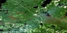
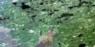
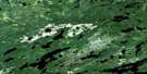
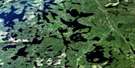
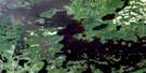
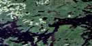
Big Canyon Lake Surrounding Area Aerial Photo Maps
 |
 |
 |
 |
 |
 |
 |
 |
 |
 |
 |
 |
 |
 |
 |
 |
© Department of Natural Resources Canada. All rights reserved.
Big Canyon Lake Gazetteer
The following places can be found on satellite image map 052K04 Big Canyon Lake:
Big Canyon Lake Satellite Image: Bays
Green BayMcIntosh Bay
Outlet Bay
Segise Bay
Big Canyon Lake Satellite Image: Channels
Crooked NarrowsIndian Dog Narrows
West Narrows
Big Canyon Lake Satellite Image: Falls
Sixty Two Foot FallsBig Canyon Lake Satellite Image: Indian Reserves
English River Indian Reserve 21Réserve indienne English River 21
Big Canyon Lake Satellite Image: Islands
Caboose IslandChristmas Island
Eagle Island
Gull Island
Norway Island
Round Island
Twin Islands
Big Canyon Lake Satellite Image: Lakes
Adam LakeBert Lake
Big Canon Lake
Big Canyon Lake
Clay Lake
Clear Lake
Colonna Lake
Cox Lake
Deadfish Lake
Eye Lake
Favel Lake
Francille Lake
Golder Lake
Grassy Narrows Lake
Gus Lake
Hagen Lake
Havik Lake
Keys Lake
Kilgour Lake
Little Clay Lake
McKellar Lake
Meandering Lake
Mink Lake
Noname Lake
One Mile Lake
Segise Lake
Segise Lake
Wolf Lake
Big Canyon Lake Satellite Image: Conservation areas
Clay Lake Conservation ReserveBig Canyon Lake Satellite Image: Rapids
Cooper's RapidsBig Canyon Lake Satellite Image: Rivers
Bug CreekCanyon River
English River
Fluke Creek
Havik Creek
Wabigoon River
Wolf Creek
Big Canyon Lake Satellite Image: River features
Canyon StretchBig Canyon Lake Satellite Image: Unincorporated areas
Grassy NarrowsBig Canyon Lake Satellite Image: Low vegetation
Hay Marsh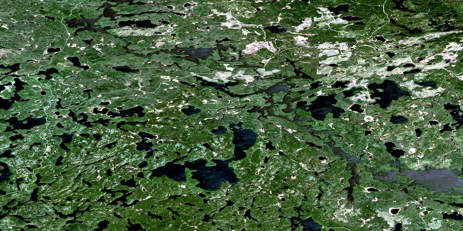
© Department of Natural Resources Canada. All rights reserved.
052K Related Maps:
052K Lac Seul052K01 Hudson
052K02 Route Lake
052K03 Cliff Lake
052K04 Big Canyon Lake
052K05 Oak Lake
052K06 Wabaskang Lake
052K07 Mcintyre Bay
052K08 Lac Seul
052K09 Wapesi Lake
052K10 Aerofoil Lake
052K11 Ear Falls
052K12 Wegg Lake
052K13 Madsen
052K14 Pakwash Lake
052K15 Bluffy Lake
052K16 Papaonga Lake
