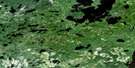
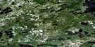
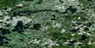
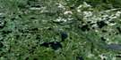
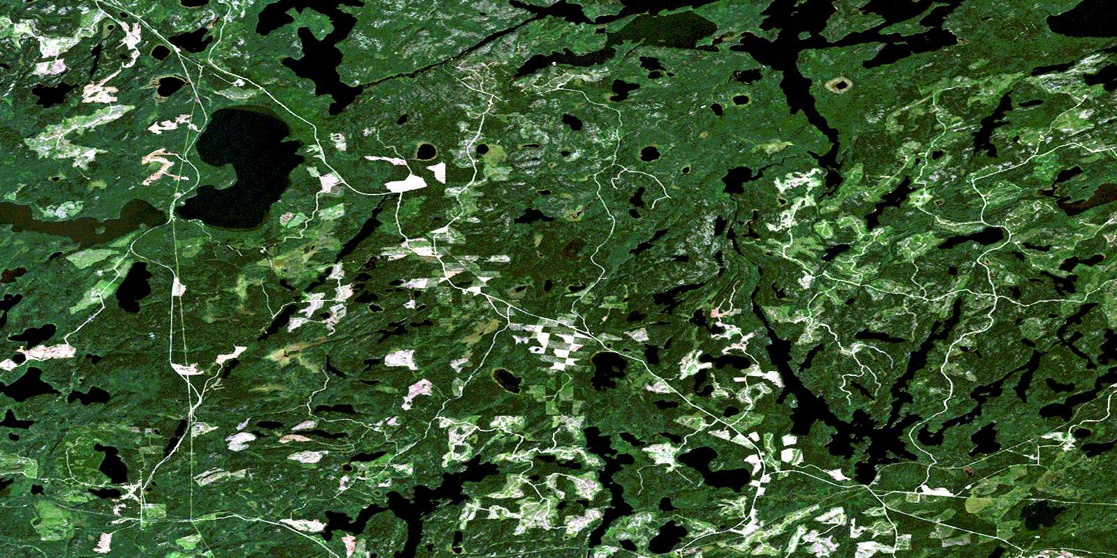
Route Lake Satellite Image Map
Download Free Aerial Photo 052K02 at 1:50,000 scale
Route Lake Satellite Imagery
To view this satellite map, mouse over the air photo on the right.
You can also download this satellite image map for free:
052K02 Route Lake high-resolution satellite image map.
Maps for the Route Lake aerial map sheet 052K02 at 1:50,000 scale are also available in these versions:
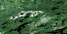
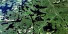
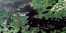
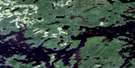
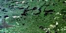
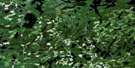
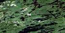
Route Lake Surrounding Area Aerial Photo Maps
 |
 |
 |
 |
 |
 |
 |
 |
 |
 |
 |
 |
 |
 |
 |
 |
© Department of Natural Resources Canada. All rights reserved.
Route Lake Gazetteer
The following places can be found on satellite image map 052K02 Route Lake:
Route Lake Satellite Image: Bays
Burntwood BayNorth Arm
Puzzle Bay
Route Bay
West Arm
Williams Bay
Route Lake Satellite Image: Capes
Marshall's PointRoute Lake Satellite Image: Geographical areas
BreithauptDaniel
Ladysmith
McIlraith
Rowell
Route Lake Satellite Image: Islands
Big IslandMoose River Island
Route Lake Satellite Image: Lakes
Akin LakesAlex Lake
Amesdale Lake
Angood Lake
Bailey Lake
Basen Lake
Blackmud Lake
Blueberry Lake
Bonanza Lake
Boundary Lake
Bray Lake
Celtis Lake
Clear Lake
Coronary Lake
Dope Lake
Egg Lake
Elevator Lake
Fawcett Lake
Fawcett Lake Chain
Fifty Two Lake
Film Lake
Four Mile Lake
Glorious Lake
Good Lake
Hodgins Lake
Horse Lake
Hourglass Lake
Lac Seul
Ladysmith Lake
Little Amesdale Lake
Little Joe Lake
Little Tag Lake
Ludy Lake
Marion Lake
McDonald Lake
Miller Lake
Mold Lake
Morison Lake
Narrow Lake
North Hodgins Lake
Ord Lake
Rainy Lake
Ranel Lake
Rasin Lake
Route Lake
Rush Lake
Six Mink Lake
Spine Lake
Square Lake
Sundial Lake
Sunstrum Lake
Swanson Lake
Taggart Lake
Tent Lake
Thaddeus Lake
Toots Lake
Vaughan Lake
Watch Lake
Whitefish Lake
Wigwam Lake
Williams Lake
Route Lake Satellite Image: Rivers
Anaway CreekBailey Creek
Clear Creek
Hodgins Creek
Ladysmith Creek
Ludy Creek
Miller Creek
Mold Creek
Pelican Creek
Pelican Creek
Ranel Creek
Rasin Creek
Route River
Twenty Mile Creek
Whitefish River
Wigwam Creek
Williams Creek
Route Lake Satellite Image: Unincorporated areas
AmesdaleLac Seul
Millidge
Sunstrum
Thaddeus
© Department of Natural Resources Canada. All rights reserved.
052K Related Maps:
052K Lac Seul052K01 Hudson
052K02 Route Lake
052K03 Cliff Lake
052K04 Big Canyon Lake
052K05 Oak Lake
052K06 Wabaskang Lake
052K07 Mcintyre Bay
052K08 Lac Seul
052K09 Wapesi Lake
052K10 Aerofoil Lake
052K11 Ear Falls
052K12 Wegg Lake
052K13 Madsen
052K14 Pakwash Lake
052K15 Bluffy Lake
052K16 Papaonga Lake
