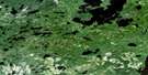
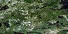
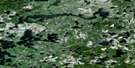
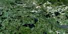
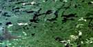
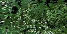
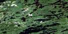
Cliff Lake Satellite Image Map
Download Free Aerial Photo 052K03 at 1:50,000 scale
Cliff Lake Satellite Imagery
To view this satellite map, mouse over the air photo on the right.
You can also download this satellite image map for free:
052K03 Cliff Lake high-resolution satellite image map.
Maps for the Cliff Lake aerial map sheet 052K03 at 1:50,000 scale are also available in these versions:
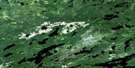
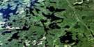
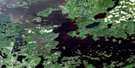
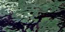
Cliff Lake Surrounding Area Aerial Photo Maps
 |
 |
 |
 |
 |
 |
 |
 |
 |
 |
 |
 |
 |
 |
 |
 |
© Department of Natural Resources Canada. All rights reserved.
Cliff Lake Gazetteer
The following places can be found on satellite image map 052K03 Cliff Lake:
Cliff Lake Satellite Image: Bays
Convention BayEast Bay
Four O'Clock Bay
Grassy Bay
Hatfield Bay
Hay Marsh Bay
Mosher Bay
Muskie Bay
Norwest Bay
Portage Bay
Puzzle Bay
Cliff Lake Satellite Image: Geographical areas
BullerLadysmith
Redvers
Wauchope
Cliff Lake Satellite Image: Islands
Caboose IslandHarbour Island
Indian Island
Cliff Lake Satellite Image: Lakes
Affleck LakeBeaton Lake
Bivo Lake
Blackbluff Lake
Bug Lake
Caribou Lake
Carter Lake
Cedar Lake
Clay Lake
Cliff Lake
Double Lake
Dud Lake
Evening Lake
Eye Lake
Fleet Lake
Fluke Lake
Gerrard Lake
Jackfish Lake
Keynote Lake
Ladysmith Lake
Little Clay Lake
Long Lake
Meridian Lake
Mink Lake
Moose Lake
Mystery Lake
Nelson Lake
Norse Lake
One Island Lake
Ord Lake
Pear Lake
Peephole Lake
Pickerel Lake
Redbluff Creek
Redbluff Lake
Redvers Lake
Ross Lake
Schultz Lake
Square Lake
St. Clair Lake
Trail Lake
Twilight Lake
Walsh Lake
Wauchope Lake
West Cedar Lake
Cliff Lake Satellite Image: Conservation areas
Clay Lake Conservation ReserveTwilight Lake Conservation Reserve
Cliff Lake Satellite Image: Rivers
Beaton CreekBlackbluff Creek
Bug Creek
Buller Creek
Fluke Creek
One Island Creek
Ord River
Pickerel Creek
Wabigoon River
Cliff Lake Satellite Image: Road features
Twilight PortageCliff Lake Satellite Image: Unincorporated areas
Camp RobinsonNiddrie
Cliff Lake Satellite Image: Low vegetation
Hay Marsh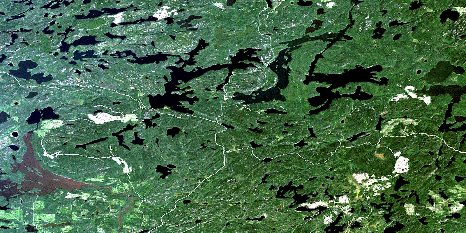
© Department of Natural Resources Canada. All rights reserved.
052K Related Maps:
052K Lac Seul052K01 Hudson
052K02 Route Lake
052K03 Cliff Lake
052K04 Big Canyon Lake
052K05 Oak Lake
052K06 Wabaskang Lake
052K07 Mcintyre Bay
052K08 Lac Seul
052K09 Wapesi Lake
052K10 Aerofoil Lake
052K11 Ear Falls
052K12 Wegg Lake
052K13 Madsen
052K14 Pakwash Lake
052K15 Bluffy Lake
052K16 Papaonga Lake
