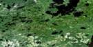
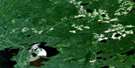
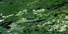
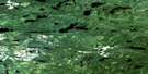
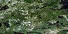
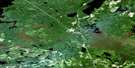
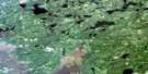
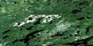
Lac Seul Satellite Image Map
Download Free Aerial Photo 052K08 at 1:50,000 scale
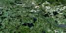
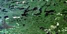
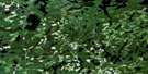
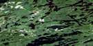
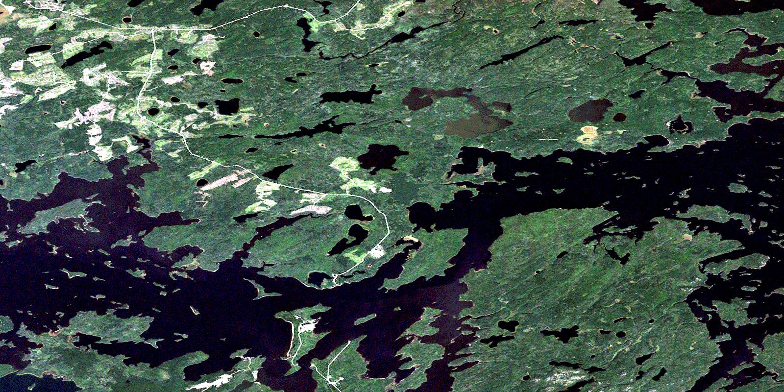
Lac Seul Satellite Imagery
To view this satellite map, mouse over the air photo on the right.
You can also download this satellite image map for free:
052K08 Lac Seul high-resolution satellite image map.
Maps for the Lac Seul aerial map sheet 052K08 at 1:50,000 scale are also available in these versions:
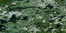
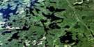
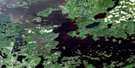
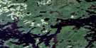
Lac Seul Surrounding Area Aerial Photo Maps
 |
 |
 |
 |
 |
 |
 |
 |
 |
 |
 |
 |
 |
 |
 |
 |
© Department of Natural Resources Canada. All rights reserved.
Lac Seul Gazetteer
The following places can be found on satellite image map 052K08 Lac Seul:
Lac Seul Satellite Image: Bays
Aldous BayBlack Bay
Bray Bay
Canoe Bay
Fish Hook Bay
Kejick Bay
Ningewance Bay
Tuktegweik Bay
Two Point Bay
Vallance Bay
Vaughan Bay
Victor Bay
Wapesi Bay
Whitefish Bay
Lac Seul Satellite Image: Capes
Bannatyne PointDewey Point
Pine Point
Quoquat Point
Wesley Point
Whitepine Point
Willow Point
Lac Seul Satellite Image: Channels
Bray ChannelBray Lake Channel
Maclean's Narrows
Vaughan Channel
Whitefish Channel
Windy Narrows
Lac Seul Satellite Image: Indian Reserves
Lac Seul Indian Reserve 28Réserve indienne Lac Seul 28
Lac Seul Satellite Image: Islands
Banana IslandBroken Stick
Cow Island
Eagle Island
East Corner
Farm Island
Gronbeck Island
Kejick Bay Island
Manito Island
McGuire Island
Park Island
Pine Island
Poplar Island
Seagull Island
Spruce River Island
Stewart Island
Lac Seul Satellite Image: Lakes
Armour LakeBase Lake
Boat Lake
Bray Lake
Canoe Lake
Clace Lake
Clear Lake
Farm Lake
Great Portage Lake
Hall Lake
Lac Seul
Linden Lake
Little Rice Lake
Marsh Lake
Race Lake
Rice Lake
Spruce Lake
Toby Lake
Tuktegweik Lake
Twain Lake
Wapesi Lake
Warship Lake
Yard Lake
Lac Seul Satellite Image: Conservation areas
Lac Seul Islands Conservation ReserveLac Seul Satellite Image: Rivers
Armour CreekBase Creek
Boat Creek
English River
Linden Creek
Marsh Creek
Race Creek
Spivy Creek
Spruce River
Tuktegweik River
Vaughan River
Wapesi River
Warship Creek
Yard Creek
Lac Seul Satellite Image: Road features
Little Poplar PortageLac Seul Satellite Image: Unincorporated areas
Kejick BayLac Seul
© Department of Natural Resources Canada. All rights reserved.
052K Related Maps:
052K Lac Seul052K01 Hudson
052K02 Route Lake
052K03 Cliff Lake
052K04 Big Canyon Lake
052K05 Oak Lake
052K06 Wabaskang Lake
052K07 Mcintyre Bay
052K08 Lac Seul
052K09 Wapesi Lake
052K10 Aerofoil Lake
052K11 Ear Falls
052K12 Wegg Lake
052K13 Madsen
052K14 Pakwash Lake
052K15 Bluffy Lake
052K16 Papaonga Lake
